Raven Cliff Falls Trail: Hiking South Carolina’s Wildest Waterfall Route
Raven Cliff Falls Trail: Hiking South Carolina’s Wildest Waterfall Route
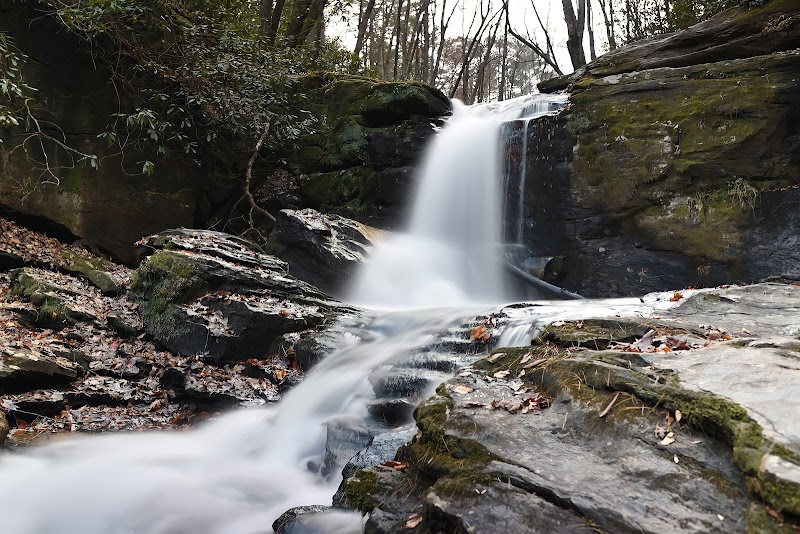
In the heart of the Blue Ridge Escarpment, just over an hour from Greenville, the Raven Cliff Falls Trail awaits—a journey that doesn’t simply deliver a view but immerses you in South Carolina’s wildest reaches. This isn’t a path for the casual hiker; it’s a trek woven with sights and sounds that call to the soul. Here, each turn hints at something greater, building up to the tallest waterfall in South Carolina—a mighty cascade plunging 400 feet down into a misty canyon.
Beginning in Caesars Head State Park, the trail starts deceptively gentle, guiding hikers over soft pine needles and earth, through towering hardwoods and the faint aroma of hemlock. The air vibrates with birdsong, and the distant hum of water beckons. Early on, the trail offers glimpses of the Blue Ridge beyond, teasing you with hints of what’s to come. But it doesn’t take long for the landscape to demand your full attention. The path steepens and curves, daring you to keep up, leading you deeper into an environment that feels both raw and ancient.
After two miles, a scene unfolds that leaves you breathless. Crossing a suspension bridge over the gorge, you come face to face with Raven Cliff Falls, South Carolina’s loftiest waterfall, a sight that rewards each step with its grandeur. Cascading down in tiers, the water seems to float, carving its mark in the rocky heart of the mountain. In the cool mist of the falls, you feel nature’s vastness—its beauty, power, and undeniable pull.
Whether you’re seeking the thrill of a challenge, the hush of the forest, or a memory carved in mist, Raven Cliff Falls Trail etches itself in both body and spirit—a testament to South Carolina’s untamed soul.
Adventure Guide to Raven Cliff Falls Trail
Trailhead:
Start from Caesars Head State Park, a scenic 45-minute drive from Greenville, South Carolina. Take SC-11 and Caesars Head Road, enjoying views that set the tone for what’s ahead.
Trail Overview:
- Length: 4.4 miles round trip
- Difficulty: Moderate to strenuous, with a steep final ascent
- Elevation Gain: Approximately 870 feet, requiring stamina as the trail rises sharply near the end
Highlights:
- Suspension Bridge: This bridge offers a heart-stopping vantage of Raven Cliff Falls, cascading 400 feet into the gorge below. It’s one of those moments that justifies every step—a thrill and a memory in one.
- Wildlife and Flora: The trail weaves through forests alive with deer, hawks, and, on rare days, black bears. In spring and summer, native wildflowers paint the landscape with bursts of color, adding to the area’s raw beauty.
Important Tips:
- Parking Fee: A small entrance fee ($3-$5) applies per person
- Timing: Start early to avoid crowds and enjoy cooler temperatures, especially on weekends
- Essentials: Hiking boots, water, and a camera for the falls
Driving Directions from Greenville:
Follow US-276 North to Caesars Head State Park, then signs will guide you to the trailhead. Expect about 45 minutes to an hour, factoring in traffic.
Raven Cliff Falls Trail is a gift for the adventurous, offering unforgettable views, natural challenges, and a landscape that embodies South Carolina’s wild beauty.
Adventure Map
Reviews
Related Posts