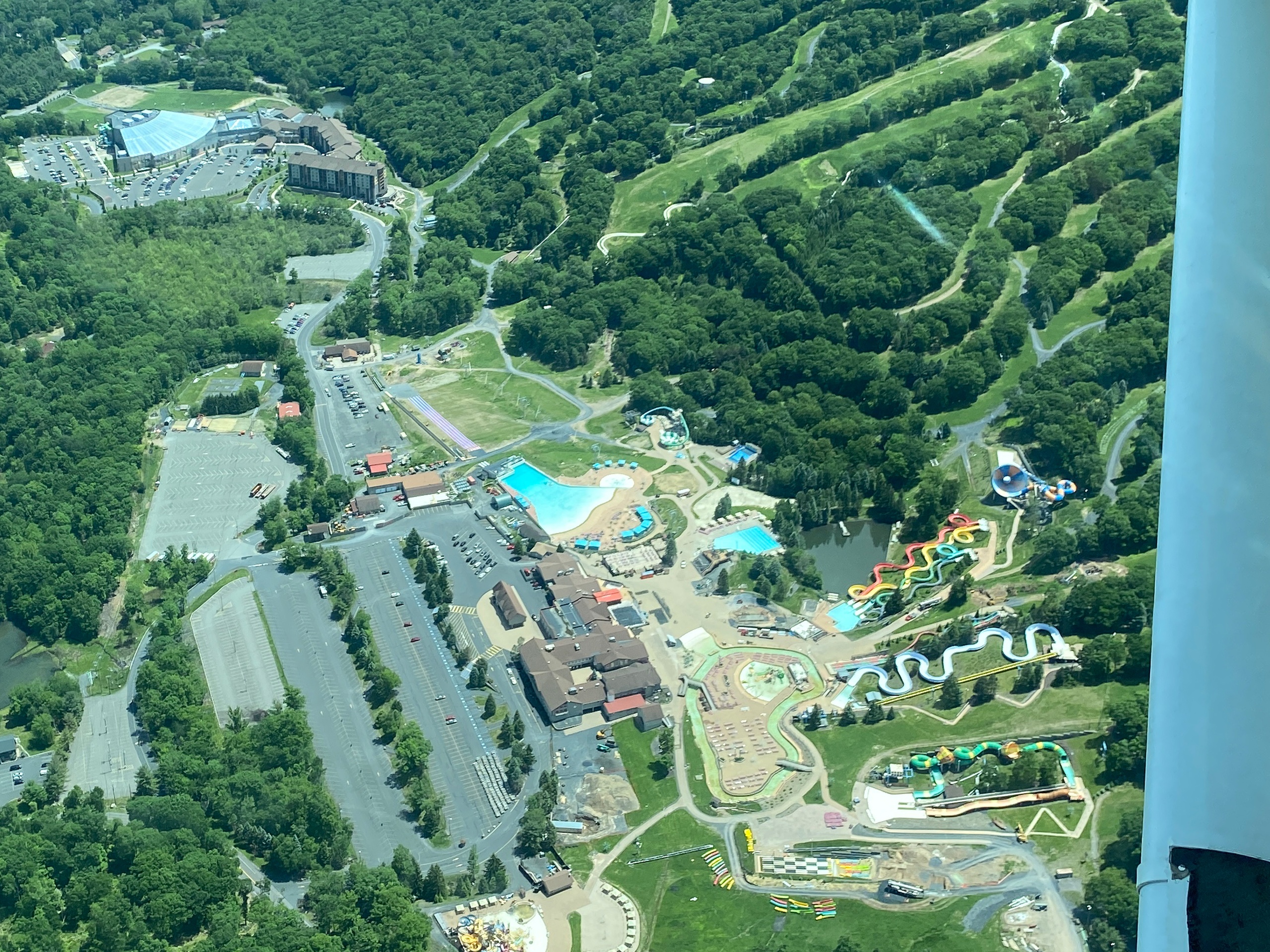
You taxi past a patchwork of pasture and scrub, the engine's steady hum promising a few minutes of gravity’s reprieve. Within moments of takeoff, Blairstown peels away into a stitched landscape—folded ridgelines of the Kittatinny, the ribbon of the Paulins Kill threading through floodplain forests, and the broader cleavage of the Delaware Water Gap where the river has carved a canyon through ancient stone. From the air the human scale simplifies: roads recede and the pattern of the land becomes legible.
Blairstown’s appeal for air tours rests in contrasts. Unlike urban scenic flights that slice a city skyline into angles, flights here are about texture and season. Spring delivers a patchwork of lemon-green fields and a pale, swelling leaf canopy; summer gives long golden evenings and clear visibility for miles; fall turns the ridgeline into a searing ribbon of color that photographers covet; winter reduces the world to stark lines and contrasts with frosted fields and smoky chimneys. Pilots know where to lean the plane for the best sightlines—flanking the ridges to show the Appalachians spilling west, angling into the Delaware’s channels to reveal the gap’s steep walls, or following river oxbows that catch sunlight and refuse to look like anything else on the map.
These tours are intimate affairs. Operators typically run small aircraft that seat between two and six people, and many flights are narrated by local pilots who double as storytellers—pointing out old ironworks, Revolutionary War-era homesteads, and the backroads that connect farmstands and taverns. An air tour becomes a primer on regional geography and local industry as much as a ride. If you pair a morning flight with an afternoon kayak on the Delaware or an evening at a nearby brewery, the day feels curated: the aerial overview complements the tactile, on-ground exploration.
Practical considerations anchor the romance: weather rules the schedule, visibility determines the route, and FAA guidelines shape how close you can get to certain features. Still, the payoff is immediate. For travelers who want a quick, memorable way to understand the topography of northwestern New Jersey—its waterways, ridgelines, and human patterns—an air tour is an efficient and emotionally resonant choice. It’s a short, concentrated way to translate map into place, to feel the contour of the land without having to climb for hours, and to carry that new knowledge down to ground-level adventures.