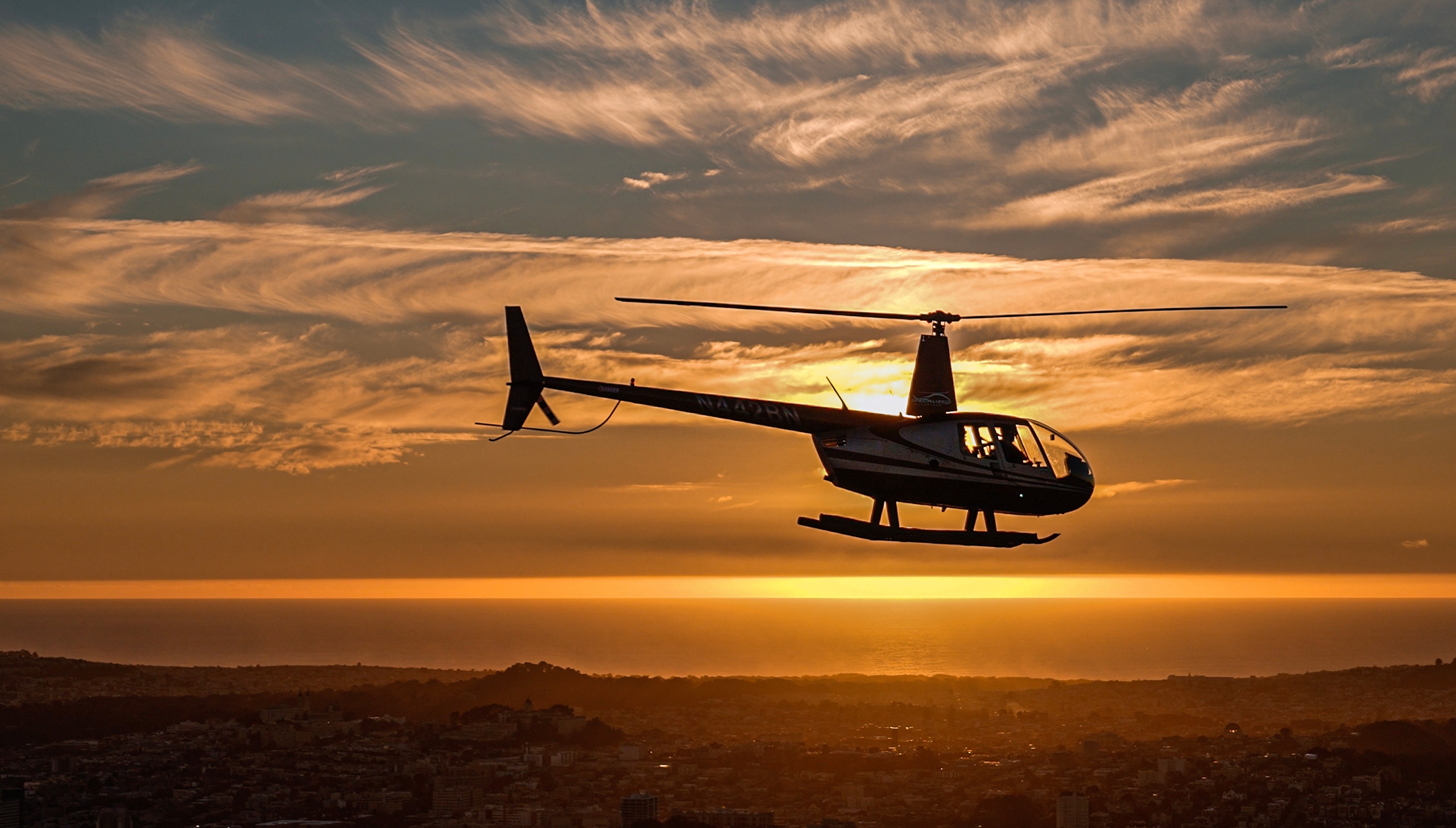
Point Reyes Station is a place built to be seen from many angles—but it is at once most revealing and most mysterious from the air. Below, the peninsula unspools as a study in contrasts: serrated coastal cliffs give way to broad, sage-scented terraces; a spiderweb of estuaries and tidal marshes feeds a bright green matrix that sits against the endless grey of the Pacific. From a small plane or light aircraft, you read the landscape like a topographic poem: faults and folds become clear, feathered sand spits and dune systems are legible, and the sinuous ribbon of Tomales Bay stretches inland like a mirror threaded with oyster farms and tidal channels.
This perspective isn’t only aesthetic. Aerial flights make ecological patterns visible in a single sweep—migration corridors for whales and seabirds, the seasonal congregation of marine mammals offshore, and the hidden pockets of grassland where tule elk gather at the peninsula’s tips. Pilots and aerial guides translate these patterns in real time, pointing out landmarks that would take hours to find on foot or by car. For photographers and naturalists, the scale of the view accelerates curiosity: you can watch the marine layer pour in over the headlands, see where fog hugs the coastline and where it lifts to reveal sunlight-scarred cliffs, and plan follow-up exploration—kayak trips, hikes, or shoreline photography—based on what you observed from above.
Practically, airplane experiences near Point Reyes are varied in length and intent. Short scenic circuits emphasize visual storytelling—slow, low passes along the coast and a steady orbit of the peninsula’s most dramatic points. Longer charters can extend the view to adjacent coastal features: offshore island chains, river mouths, and the patchwork of agricultural valleys inland. Most flights are overflights rather than landings on the peninsula itself; safe, controlled views are the standard offering rather than remote-airstrip drop-offs. Weather is a central planning constraint: the region’s marine layer and coastal winds shape visibility and ride quality, so pilots often favor early morning or late-afternoon windows for calmer conditions and the most flattering light.
Choosing an airplane experience here is an invitation to layer activities: follow an aerial reconnaissance with a tidal marsh hike, or combine a flight with a boat-based wildlife tour for complementary angles on the same animals and habitats. The experience is accessible to a wide range of travelers, though it requires a bit of logistical attention—transport to nearby small airfields, flexibility around weather cancellations, and sensitivity to the region’s conservation rules. Ultimately, an airplane adds speed, context, and a kind of quiet intimacy to coastal exploration: from above, Point Reyes sheds its human scale and reveals the slow, patient rhythms of land and sea that have shaped it for millennia.