
Scranton Air Tour Guide
Air Tours in Scranton, Pennsylvania
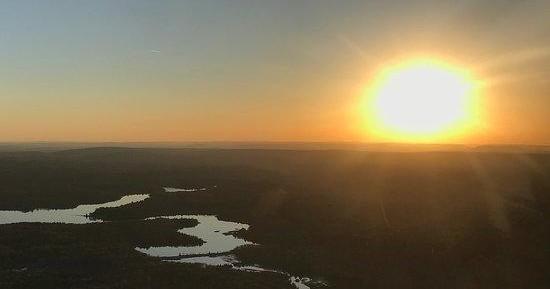
From low-and-slow scenic circuits over anthracite country to high-window flights that slice across the ridgelines of the Poconos, air tours around Scranton turn familiar landscapes into cinematic vistas. These short, focused flights are designed to reveal geology, industrial history, and seasonal color from an angle only a bird—or a well‑piloted tour—can offer. Whether you’re after fall foliage coronas, winter’s crystalline clarity, or the first-green mosaic of spring, a thirty- to sixty-minute air tour makes the region’s topography legible in an hour and makes excellent companions for ground-based hikes, river paddles, and photography expeditions.
Pocono MountainsDelaware Water GapEndless MountainsLackawanna River Valley