THE ADVENTURE COLLECTIVE® · Independent discovery and booking for outdoor travel

Fly into Lukla and follow an iconic 12-day route through Sherpa villages, alpine ridges and glacier-scored valleys to Everest Base Camp and Kala Patthar. This guide lays out what you’ll see, the key distances and how to prepare for high-altitude trekking in the Khumbu.
Fly into Lukla and follow an iconic 12-day route through Sherpa villages, alpine ridges and glacier-scored valleys to Everest Base Camp and Kala Patthar. This guide lays out what you’ll see, the key distances and how to prepare for high-altitude trekking in the Khumbu.
The plane descends onto Lukla’s tiny airstrip and the mountains lean in — wind, prayer flags and the smell of yak butter tea greet you. From here the trail climbs through rhododendron forests, spills over suspension bridges and pushes upward into an alpine world where glaciers creak and the sky feels closer.
Verified experiences and guided adventures in the surrounding area.
Operated by Nepal Trail Finder Treks & Expedition · Lukla, Province No. 1
The plane descends onto Lukla’s tiny airstrip and the mountains lean in — wind, prayer flags and the smell of yak butter tea greet you. From here the trail climbs through rhododendron forests, spills over suspension bridges and pushes upward into an alpine world where glaciers creak and the sky feels closer.
This route follows centuries of Sherpa trade paths turned mountaineering highways. Geologically it sits on the rising collision zone of the Indian and Eurasian plates; peaks like Everest and Lhotse are still growing, their faces carved by glaciers. Villages such as Namche Bazaar and Tengboche hold monasteries and teahouses where local culture and expedition history — names like Tenzing Norgay — thread through daily life.
Over 12 days you’ll average 4–7 hours of walking per day with key legs: Lukla→Phakding (8 km, 3–4 hr), Phakding→Namche (11 km, 5–6 hr), Namche→Tyangboche (10 km), Dingboche acclimatization, Lobuche→Gorak Shep and Kala Patthar (5,600 m) for sunrise, then the hike to Everest Base Camp (approx 5,364 m). Expect cumulative elevation gain from ~2,860 m to ~5,600 m, thin air and cold nights.
Practical edge: acclimatize (two scheduled rest days), drink often, pace uphill sections and use trekking poles. Footwear should be well-broken-in, layers must handle freezing nights and strong sun. Flights to and from Lukla are weather-dependent; factor in buffer days for delays. Respect local waste rules and teahouse economies — they sustain the high trail. When the ice whispers and the ridge pulls you forward, this trek rewards steady planning as much as grit.
Yes — a Sagarmatha National Park permit and a TIMS card are required; operators usually handle paperwork but confirm before departure.
Spring (March–May) and autumn (late September–November) offer the most stable weather and clear views, with spring also bringing rhododendron blooms.
Altitude illness is a real risk above 3,000 m; follow acclimatization days, ascend slowly, stay hydrated and descend if symptoms worsen.
Flights are frequent but weather-dependent; morning windows are best, and delays or overnight holds are common — build extra days into your schedule.
Nepal Trail Finder Treks & Expedition operates guided outdoor trips and adventures with an emphasis on safety, stewardship, and memorable experiences.
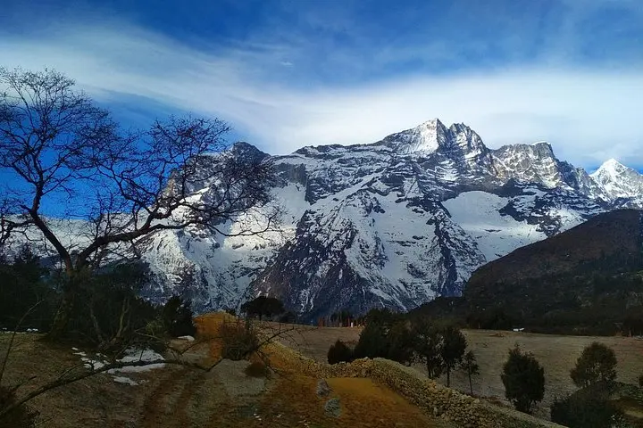
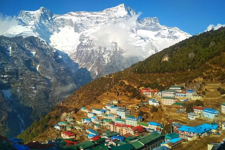
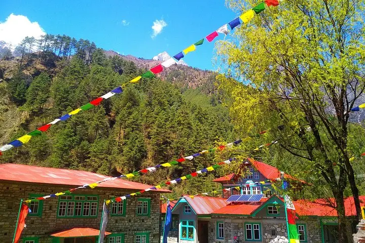
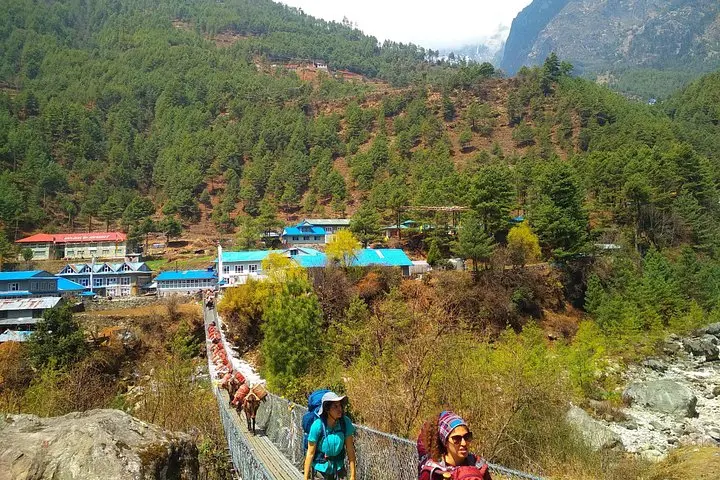
The plane descends onto Lukla’s tiny airstrip and the mountains lean in — wind, prayer flags and the smell of yak butter tea greet you. From here the trail climbs through rhododendron forests, spills over suspension bridges and pushes upward into an alpine world where glaciers creak and the sky feels closer.
The plane descends onto Lukla’s tiny airstrip and the mountains lean in — wind, prayer flags and the smell of yak butter tea greet you. From here the trail climbs through rhododendron forests, spills over suspension bridges and pushes upward into an alpine world where glaciers creak and the sky feels closer.
This route follows centuries of Sherpa trade paths turned mountaineering highways. Geologically it sits on the rising collision zone of the Indian and Eurasian plates; peaks like Everest and Lhotse are still growing, their faces carved by glaciers. Villages such as Namche Bazaar and Tengboche hold monasteries and teahouses where local culture and expedition history — names like Tenzing Norgay — thread through daily life.
Over 12 days you’ll average 4–7 hours of walking per day with key legs: Lukla→Phakding (8 km, 3–4 hr), Phakding→Namche (11 km, 5–6 hr), Namche→Tyangboche (10 km), Dingboche acclimatization, Lobuche→Gorak Shep and Kala Patthar (5,600 m) for sunrise, then the hike to Everest Base Camp (approx 5,364 m). Expect cumulative elevation gain from ~2,860 m to ~5,600 m, thin air and cold nights.
Practical edge: acclimatize (two scheduled rest days), drink often, pace uphill sections and use trekking poles. Footwear should be well-broken-in, layers must handle freezing nights and strong sun. Flights to and from Lukla are weather-dependent; factor in buffer days for delays. Respect local waste rules and teahouse economies — they sustain the high trail. When the ice whispers and the ridge pulls you forward, this trek rewards steady planning as much as grit.