THE ADVENTURE COLLECTIVE® · Independent discovery and booking for outdoor travel

Leap from 16,500 feet above Abel Tasman and see golden bays, seal colonies, and the meeting of islands below. This tandem skydive out of Motueka pairs spectacle with strict safety and local knowledge—plan for weather, weight checks, and a two-hour booking window.
Leap from 16,500 feet above Abel Tasman and see golden bays, seal colonies, and the meeting of islands below. This tandem skydive out of Motueka pairs spectacle with strict safety and local knowledge—plan for weather, weight checks, and a two-hour booking window.
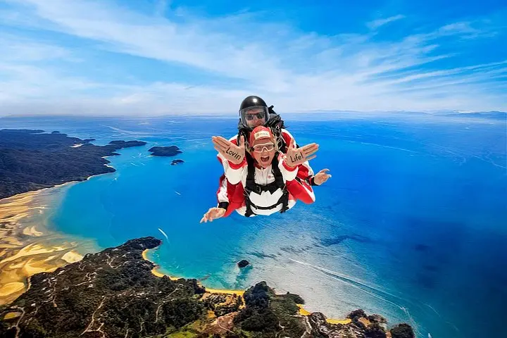
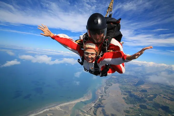
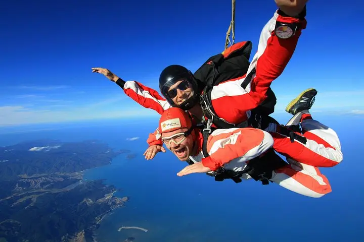
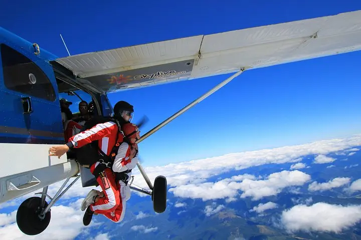
The plane eases above Motueka and the coastline opens like a map—gold beaches cut by turquoise bays, bushed headlands, and the pocked arc of Abel Tasman National Park. At 16,500 feet the wind takes on a voice of its own, daring you as the door slides and the sky waits.
Verified experiences and guided adventures in the surrounding area.
Operated by Skydive Abel Tasman · Motueka, Tasman
The plane eases above Motueka and the coastline opens like a map—gold beaches cut by turquoise bays, bushed headlands, and the pocked arc of Abel Tasman National Park. At 16,500 feet the wind takes on a voice of its own, daring you as the door slides and the sky waits.
This stretch of coast is named for Dutch navigator Abel Tasman, who first sighted these shores in 1642. Geologically the region is a collision of granite outcrops and marine sediments, carved by waves and uplift into the bays and islands you’ll see during free fall. The park is also part of iwi (Māori) rohe, with local stories tied to the land and sea; operators work within those cultural landscapes while using established flight corridors.
From the air you’ll spot Tonga Island’s seal colony, the banded headlands of Torrent Bay, and the southern edge of the South and North Island silhouettes meeting at the horizon. Wildlife below has a rhythm of its own—seals haul out, gannets fish, currents shape sandbars.
Practical guide: expect a 2‑hour booking window that includes briefing, gear-up, and a 15–30 minute climb to altitude. Wear sturdy, closed-toe shoes and close-fitting layers; sunglasses are fine but cameras are handled by tandem instructors unless you book a camera rider. Operators cancel for unsafe winds or low cloud—arrive with identification and your weight information, and plan flexible transport. The jump is brief but unforgettable: a controlled fall, then the hush of the canopy over one of New Zealand’s most scenic coastlines.
Minimum age varies by operator (often 8–12 with guardian consent); weight limits are strictly enforced—provide accurate weight when booking to confirm suitability.
Yes: most operators cancel for unsafe conditions and offer full refunds or rebookings if the jump cannot proceed.
Personal devices are usually not permitted during free fall for safety; many operators offer instructor‑mounted or rider camera packages for purchase.
Free fall from 16,500ft typically lasts around 60–90 seconds depending on deployment altitude, followed by a 5–8 minute canopy descent to landing.
Skydive Abel Tasman operates guided outdoor trips and adventures with an emphasis on safety, stewardship, and memorable experiences.
The plane eases above Motueka and the coastline opens like a map—gold beaches cut by turquoise bays, bushed headlands, and the pocked arc of Abel Tasman National Park. At 16,500 feet the wind takes on a voice of its own, daring you as the door slides and the sky waits.
The plane eases above Motueka and the coastline opens like a map—gold beaches cut by turquoise bays, bushed headlands, and the pocked arc of Abel Tasman National Park. At 16,500 feet the wind takes on a voice of its own, daring you as the door slides and the sky waits.
This stretch of coast is named for Dutch navigator Abel Tasman, who first sighted these shores in 1642. Geologically the region is a collision of granite outcrops and marine sediments, carved by waves and uplift into the bays and islands you’ll see during free fall. The park is also part of iwi (Māori) rohe, with local stories tied to the land and sea; operators work within those cultural landscapes while using established flight corridors.
From the air you’ll spot Tonga Island’s seal colony, the banded headlands of Torrent Bay, and the southern edge of the South and North Island silhouettes meeting at the horizon. Wildlife below has a rhythm of its own—seals haul out, gannets fish, currents shape sandbars.
Practical guide: expect a 2‑hour booking window that includes briefing, gear-up, and a 15–30 minute climb to altitude. Wear sturdy, closed-toe shoes and close-fitting layers; sunglasses are fine but cameras are handled by tandem instructors unless you book a camera rider. Operators cancel for unsafe winds or low cloud—arrive with identification and your weight information, and plan flexible transport. The jump is brief but unforgettable: a controlled fall, then the hush of the canopy over one of New Zealand’s most scenic coastlines.