THE ADVENTURE COLLECTIVE® · Independent discovery and booking for outdoor travel

A two-day overland escape from Hanoi to Ban Gioc Waterfall and Nguom Ngao Cave. Expect long scenic drives, karst cliffs, cross-border views, and easy guided walks to dramatic viewpoints.
A two-day overland escape from Hanoi to Ban Gioc Waterfall and Nguom Ngao Cave. Expect long scenic drives, karst cliffs, cross-border views, and easy guided walks to dramatic viewpoints.
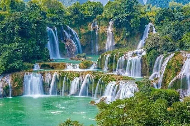
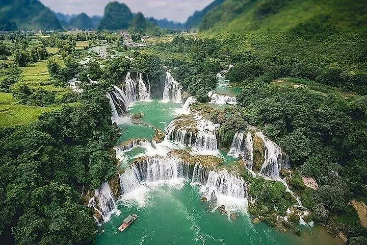
The road opens up into limestone ridges and a widening river valley; emerald rice paddies run like patchwork toward a curtain of falling water. On this two-day loop from Hanoi you trade the city’s concrete edges for the raw geometry of northern Vietnam: cliffs scored by karst, borderland rapids, and a waterfall that pours along an international fault line.
Verified experiences and guided adventures in the surrounding area.
Operated by BCFamilyTour.com · Cao Bang, Cao Bang Province
The road opens up into limestone ridges and a widening river valley; emerald rice paddies run like patchwork toward a curtain of falling water. On this two-day loop from Hanoi you trade the city’s concrete edges for the raw geometry of northern Vietnam: cliffs scored by karst, borderland rapids, and a waterfall that pours along an international fault line.
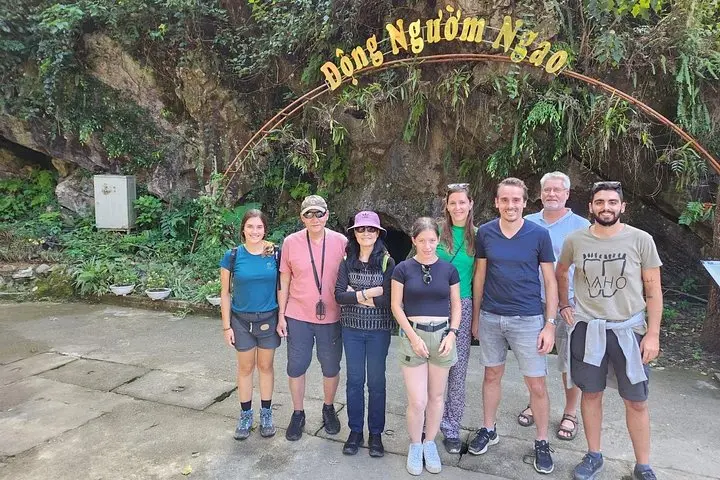
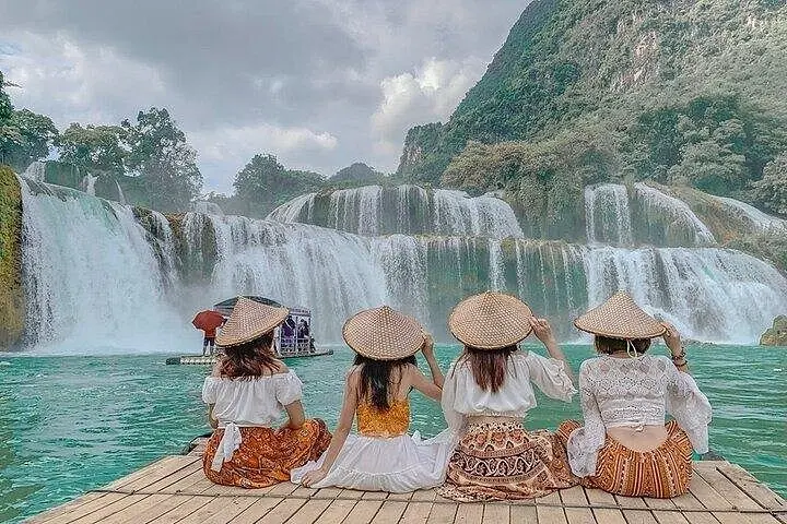
Ban Gioc (also called Detian on the Chinese side) is one of Asia’s largest transboundary waterfalls. The stream cuts through carbonate rock—limestone and dolomite—creating tiers, plunge pools, and a broad fan where water negotiates boulders and seasonal silt. The region is culturally layered: Tay and Nung ethnic communities farm the valley, maintain stilt houses, and guide visitors through caves such as Nguom Ngao, whose chambers reveal stalactites formed over millennia.
Expect heavily scenic drives (roughly 330–350 km from Hanoi), short guided walks to viewpoints, and light cave exploration. The tour’s pace balances long road stretches with easy access points—no technical climbing involved—but weather can turn slick quickly, making paths muddy and river crossings louder.
Practical tips: carry a waterproof layer and sturdy shoes, keep passports and copies handy near the border, and bring cash for small village purchases. Aim to visit in the dry shoulder seasons for clearer views and lower flow-stirred sediment. Travel respectfully: local communities depend on tourism and conservation efforts focus on managing visitor impact to protect river habitats and karst systems.
On arrival the waterfall’s voice will do the talking—powerful, insistent, and unmissable—while the cave and mountain viewpoints round the experience with geological scale and local culture.
Expect about 6–8 hours each way by road depending on traffic and stops; the tour typically includes transfers and a two-day schedule.
You only need a visa if you plan to cross into China; the Vietnamese side is accessible with a valid passport—carry it and copies for checkpoints.
Viewpoints and short walks are generally accessible, but some areas have steps and uneven ground; mobility limitations should be discussed with the operator in advance.
Swimming is not generally recommended due to strong currents, cold water, and variable riverbed conditions; follow local signage and guides' advice.
BCFamilyTour.com operates guided outdoor trips and adventures with an emphasis on safety, stewardship, and memorable experiences.
The road opens up into limestone ridges and a widening river valley; emerald rice paddies run like patchwork toward a curtain of falling water. On this two-day loop from Hanoi you trade the city’s concrete edges for the raw geometry of northern Vietnam: cliffs scored by karst, borderland rapids, and a waterfall that pours along an international fault line.
The road opens up into limestone ridges and a widening river valley; emerald rice paddies run like patchwork toward a curtain of falling water. On this two-day loop from Hanoi you trade the city’s concrete edges for the raw geometry of northern Vietnam: cliffs scored by karst, borderland rapids, and a waterfall that pours along an international fault line.
Ban Gioc (also called Detian on the Chinese side) is one of Asia’s largest transboundary waterfalls. The stream cuts through carbonate rock—limestone and dolomite—creating tiers, plunge pools, and a broad fan where water negotiates boulders and seasonal silt. The region is culturally layered: Tay and Nung ethnic communities farm the valley, maintain stilt houses, and guide visitors through caves such as Nguom Ngao, whose chambers reveal stalactites formed over millennia.
Expect heavily scenic drives (roughly 330–350 km from Hanoi), short guided walks to viewpoints, and light cave exploration. The tour’s pace balances long road stretches with easy access points—no technical climbing involved—but weather can turn slick quickly, making paths muddy and river crossings louder.
Practical tips: carry a waterproof layer and sturdy shoes, keep passports and copies handy near the border, and bring cash for small village purchases. Aim to visit in the dry shoulder seasons for clearer views and lower flow-stirred sediment. Travel respectfully: local communities depend on tourism and conservation efforts focus on managing visitor impact to protect river habitats and karst systems.
On arrival the waterfall’s voice will do the talking—powerful, insistent, and unmissable—while the cave and mountain viewpoints round the experience with geological scale and local culture.