THE ADVENTURE COLLECTIVE® · Independent discovery and booking for outdoor travel

Watch condors ride thermal updrafts above plunging cliffs, soak in highland hot springs, and pass pre-Hispanic terraces on this active 2-day loop from Arequipa. Expect high-altitude vistas, wildlife encounters, and accessible walking at key viewpoints.
Watch condors ride thermal updrafts above plunging cliffs, soak in highland hot springs, and pass pre-Hispanic terraces on this active 2-day loop from Arequipa. Expect high-altitude vistas, wildlife encounters, and accessible walking at key viewpoints.
You arrive before sunrise and the canyon opens like a well-kept secret: cliffs drop away in layered bands of rock, wind tugs at your jacket, and the condors begin to circle—huge shadows against the pale Andean sky.
Verified experiences and guided adventures in the surrounding area.
Operated by Peru Sceneries · Chivay, Arequipa
You arrive before sunrise and the canyon opens like a well-kept secret: cliffs drop away in layered bands of rock, wind tugs at your jacket, and the condors begin to circle—huge shadows against the pale Andean sky.
This two-day circuit from Arequipa moves from high puna plateaus through volcanic vistas to the carved shoulders of Colca, one of the world’s deepest canyons—walls plunging more than 3,000 meters in places. Geologically the canyon is carved into Miocene volcanic and sedimentary rock, with terraces cut into its rims by pre-Hispanic peoples; the agricultural bands at Antahuilque show how Andean communities engineered steep land for potatoes, quinoa and corn.
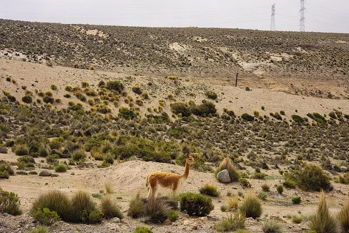
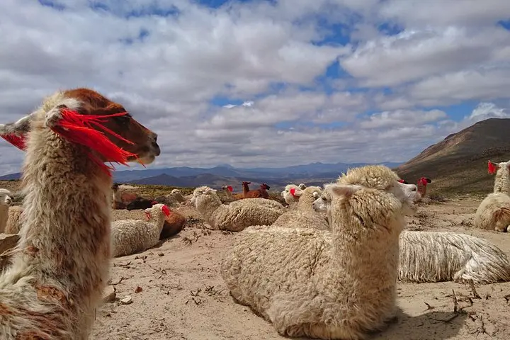
Culturally, the valley still breathes traditional life: llamas and alpacas graze, local weavers sell hand-dyed textiles, and small villages maintain festivals tied to the agricultural calendar. Patapampa and viewpoints like Cruz del Condor are prime spots to watch condors wheel; early morning light brings the best flight displays.
Practically, expect long drives (Arequipa → Chivay ≈ 3–4 hours), short guided walks, and short stops for photo viewpoints and hot springs at La Calera (optional). Altitude is the main challenge—Patapampa reaches about 4,900 m—so plan to acclimatize in Arequipa, hydrate, and move slowly the first day. Terrain is mostly paved roads and short, well-marked viewpoints; comfortable hiking shoes, layers, sun protection and a small daypack will cover most needs. The trip often continues on to Puno, making it a practical connector between southern Peruvian highland regions.
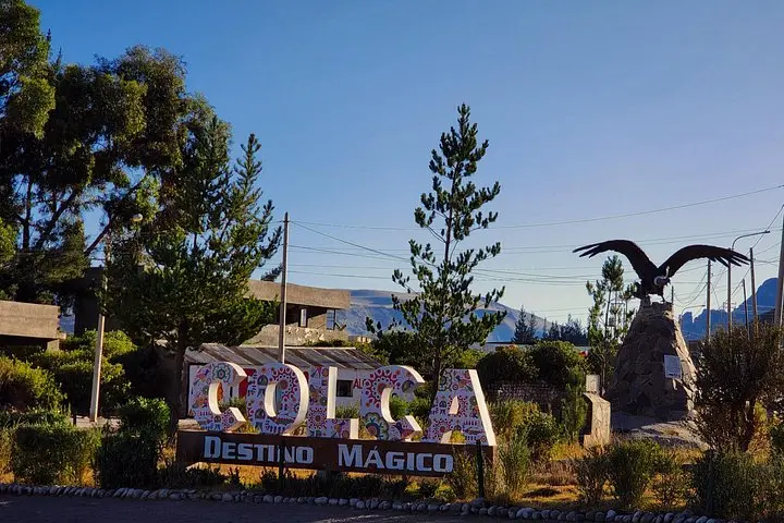
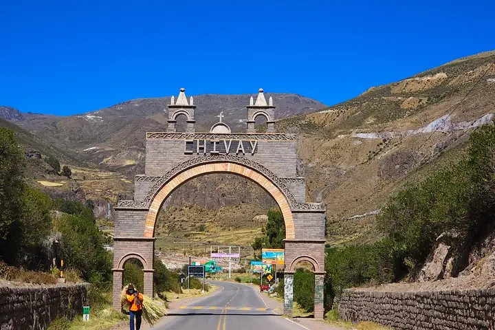
The road to Chivay (gateway town) is roughly 160 km and takes about 3–4 hours with stops; the tour includes additional driving between viewpoints.
Guides take you to proven viewpoints like Cruz del Condor at prime times; sightings are common but not guaranteed due to weather and bird behavior.
Hot springs at La Calera are typically optional; you may pay a small entrance fee and bring swimwear if you want to soak after a day of travel.
Yes—some travelers experience mild symptoms; acclimatize in Arequipa, hydrate, avoid alcohol and ask the guide about coca tea or medication if you have concerns.
Peru Sceneries operates guided outdoor trips and adventures with an emphasis on safety, stewardship, and memorable experiences.
You arrive before sunrise and the canyon opens like a well-kept secret: cliffs drop away in layered bands of rock, wind tugs at your jacket, and the condors begin to circle—huge shadows against the pale Andean sky.
You arrive before sunrise and the canyon opens like a well-kept secret: cliffs drop away in layered bands of rock, wind tugs at your jacket, and the condors begin to circle—huge shadows against the pale Andean sky.
This two-day circuit from Arequipa moves from high puna plateaus through volcanic vistas to the carved shoulders of Colca, one of the world’s deepest canyons—walls plunging more than 3,000 meters in places. Geologically the canyon is carved into Miocene volcanic and sedimentary rock, with terraces cut into its rims by pre-Hispanic peoples; the agricultural bands at Antahuilque show how Andean communities engineered steep land for potatoes, quinoa and corn.
Culturally, the valley still breathes traditional life: llamas and alpacas graze, local weavers sell hand-dyed textiles, and small villages maintain festivals tied to the agricultural calendar. Patapampa and viewpoints like Cruz del Condor are prime spots to watch condors wheel; early morning light brings the best flight displays.
Practically, expect long drives (Arequipa → Chivay ≈ 3–4 hours), short guided walks, and short stops for photo viewpoints and hot springs at La Calera (optional). Altitude is the main challenge—Patapampa reaches about 4,900 m—so plan to acclimatize in Arequipa, hydrate, and move slowly the first day. Terrain is mostly paved roads and short, well-marked viewpoints; comfortable hiking shoes, layers, sun protection and a small daypack will cover most needs. The trip often continues on to Puno, making it a practical connector between southern Peruvian highland regions.