THE ADVENTURE COLLECTIVE® · Independent discovery and booking for outdoor travel
Two days of purposeful trekking from Marrakech through the Mizane Valley to the Toubkal refuge and up to Jebel Toubkal’s 4,167 m summit. Expect steep switchbacks, loose scree near the top, cultural stops in Aremd and Sidi Chamarouch, and a demanding but doable high‑altitude push.
Two days of purposeful trekking from Marrakech through the Mizane Valley to the Toubkal refuge and up to Jebel Toubkal’s 4,167 m summit. Expect steep switchbacks, loose scree near the top, cultural stops in Aremd and Sidi Chamarouch, and a demanding but doable high‑altitude push.
The trail rises before dawn: headlamps pick out switchbacks, and the crisp mountain air pulls at your sleeves as Marrakech recedes behind the minibus. By mid-morning the path drops into the Mizane Valley, passes through the stone terraces of Aremd and the small shrine at Sidi Chamarouch, then climbs to the Toubkal refuge where the high Atlas narrows into rock and scree.
Verified experiences and guided adventures in the surrounding area.
Operated by Magical Toubkal Trek · Imlil, Marrakech-Safi
The trail rises before dawn: headlamps pick out switchbacks, and the crisp mountain air pulls at your sleeves as Marrakech recedes behind the minibus. By mid-morning the path drops into the Mizane Valley, passes through the stone terraces of Aremd and the small shrine at Sidi Chamarouch, then climbs to the Toubkal refuge where the high Atlas narrows into rock and scree.
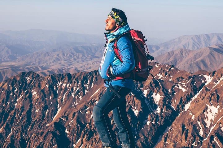
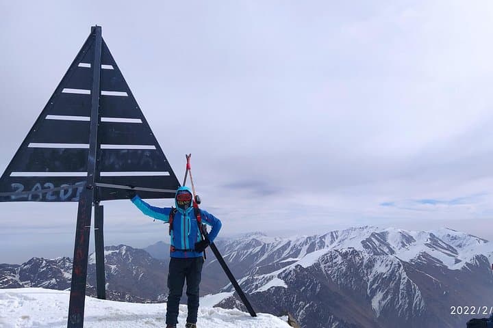
Jebel Toubkal (4,167 m) is the tallest summit in North Africa; its geology is folded metamorphic and volcanic rock carved by glaciation in colder periods. The area has been inhabited by Berber communities for centuries—remote villages like Imlil (≈1,450 m) remain cultural anchors and staging points for trekkers. The Shrine of Chamarouch is still a local pilgrimage site, a meeting of spirits and practical wayfinding on the mountain.
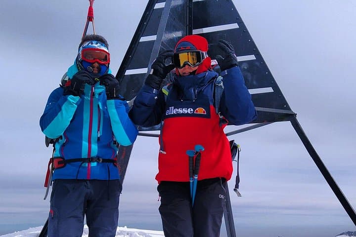
Expect two days of firm, purposeful trekking: day 1 gains roughly 1,700–1,800 m from Imlil to the refuge (about 10–12 km on rocky trails and steep switchbacks), day 2 climbs roughly 950–1,000 m to the summit (6–8 km one-way sections including loose scree near the top). Weather is the variable: summer brings clear panoramas, while winter and spring can lay down snow and require microspikes.
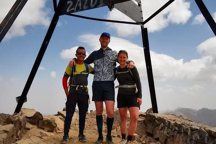
Practical guidance: pace conservatively for altitude, carry 2–3 liters of water, and use trekking poles on descents. The trip includes transport, a local guide and nights in the refuge; good fitness and prior high-elevation hiking experience make the summit realistic and rewarding.
You should be comfortable hiking multiple hours with sustained uphill sections and have prior day-hike experience; cardiovascular fitness and leg strength are important.
No technical climbing gear is required for the normal route; however, microspikes or crampons may be needed in snowy conditions and your guide will advise.
The trip includes one night at the Toubkal refuge (basic mountain refuge) with dinner and breakfast supplied; expect communal rooms and simple facilities.
Yes—altitude is significant (summit 4,167 m). Symptoms vary; ascend slowly, stay hydrated, and inform guides of any issues—descend if severe symptoms appear.
Magical Toubkal Trek operates guided outdoor trips and adventures with an emphasis on safety, stewardship, and memorable experiences.
The trail rises before dawn: headlamps pick out switchbacks, and the crisp mountain air pulls at your sleeves as Marrakech recedes behind the minibus. By mid-morning the path drops into the Mizane Valley, passes through the stone terraces of Aremd and the small shrine at Sidi Chamarouch, then climbs to the Toubkal refuge where the high Atlas narrows into rock and scree.
The trail rises before dawn: headlamps pick out switchbacks, and the crisp mountain air pulls at your sleeves as Marrakech recedes behind the minibus. By mid-morning the path drops into the Mizane Valley, passes through the stone terraces of Aremd and the small shrine at Sidi Chamarouch, then climbs to the Toubkal refuge where the high Atlas narrows into rock and scree.
Jebel Toubkal (4,167 m) is the tallest summit in North Africa; its geology is folded metamorphic and volcanic rock carved by glaciation in colder periods. The area has been inhabited by Berber communities for centuries—remote villages like Imlil (≈1,450 m) remain cultural anchors and staging points for trekkers. The Shrine of Chamarouch is still a local pilgrimage site, a meeting of spirits and practical wayfinding on the mountain.
Expect two days of firm, purposeful trekking: day 1 gains roughly 1,700–1,800 m from Imlil to the refuge (about 10–12 km on rocky trails and steep switchbacks), day 2 climbs roughly 950–1,000 m to the summit (6–8 km one-way sections including loose scree near the top). Weather is the variable: summer brings clear panoramas, while winter and spring can lay down snow and require microspikes.
Practical guidance: pace conservatively for altitude, carry 2–3 liters of water, and use trekking poles on descents. The trip includes transport, a local guide and nights in the refuge; good fitness and prior high-elevation hiking experience make the summit realistic and rewarding.
