THE ADVENTURE COLLECTIVE® · Independent discovery and booking for outdoor travel

Three days of high‑meadow crossings, saddle climbs and petroglyph visits in the Western Tien Shan, accessed from Tashkent. Expect rocky trails, cold nights, and a mix of camp‑to‑camp trekking with local guides and pack animals.
Three days of high‑meadow crossings, saddle climbs and petroglyph visits in the Western Tien Shan, accessed from Tashkent. Expect rocky trails, cold nights, and a mix of camp‑to‑camp trekking with local guides and pack animals.
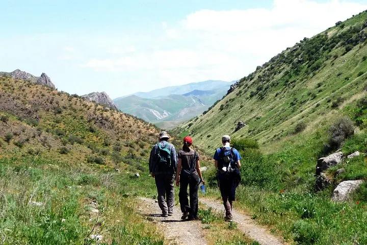
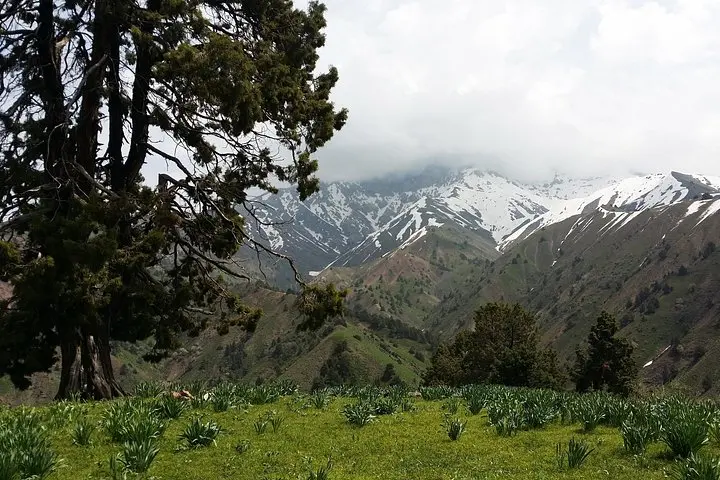
A thin morning mist lifts off the Marble River as you push away from Melovoy Pass and step into the gullies of the Western Tien Shan. Pines murmur above, the trail rocks underfoot, and the air carries the dry, metallic tang of high meadows. Over three days the route climbs saddles, crosses petroglyph‑strewn ledges near 2,400 m, and drops into green valleys where tents are pitched by rivers.
Verified experiences and guided adventures in the surrounding area.
Operated by Nuratau Travel · Tashkent, Tashkent Region
A thin morning mist lifts off the Marble River as you push away from Melovoy Pass and step into the gullies of the Western Tien Shan. Pines murmur above, the trail rocks underfoot, and the air carries the dry, metallic tang of high meadows. Over three days the route climbs saddles, crosses petroglyph‑strewn ledges near 2,400 m, and drops into green valleys where tents are pitched by rivers.
Geology here is young: folded granite and schist carved by Pleistocene glaciers into sharp ridges and rounded basins. Human history leaves quieter marks — Stone Age petroglyphs high on Kubmel pass and small mountain villages like Shuldak where transhumant shepherding persists. The area is part of Ugam‑Chatkal National Park, a mosaic of endemic flora and steppe meadows that support marmots and raptors.
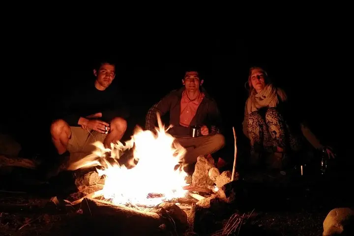
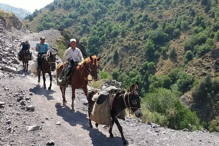
Practical guidance: expect 8–15 km of walking per day with ascents up to ~680 m and descents of ~1,000 m; trails alternate between rocky singletrack and grassy slopes. Nights are cold — tents, sleeping mats and basic sleeping bags are provided, but a liner or warm bag is wise. The operator supplies transport from Tashkent, an English‑speaking guide, porters (horses/donkeys) for luggage, meals and permits; maximum personal pack is 13 kg.
Pace your hydration and salt intake on long climbs, use sturdy boots for scree sections, and carry a compact water filter if you prefer treating river water. Weather turns fast above 2,000 m; plan layers and an early start for longer second‑day crossings. Stick to trails around petroglyphs and pack out waste to minimize impact in this fragile alpine zone.
Daily stages range from 8 to 15 km with several hundred metres of ascent or descent; expect 4–8 hours of walking per day on mixed terrain.
Yes — two‑person tents, sleeping mats, some sleeping bags, gas stoves and three meals a day are supplied by the operator.
No — animals transport communal gear; the company enforces a personal luggage limit of 13 kg for safety and logistical reasons.
Not strictly, but you should be in good health and accustomed to day‑long hikes; the guide may alter the route for safety and weather.
Nuratau Travel operates guided outdoor trips and adventures with an emphasis on safety, stewardship, and memorable experiences.
A thin morning mist lifts off the Marble River as you push away from Melovoy Pass and step into the gullies of the Western Tien Shan. Pines murmur above, the trail rocks underfoot, and the air carries the dry, metallic tang of high meadows. Over three days the route climbs saddles, crosses petroglyph‑strewn ledges near 2,400 m, and drops into green valleys where tents are pitched by rivers.
A thin morning mist lifts off the Marble River as you push away from Melovoy Pass and step into the gullies of the Western Tien Shan. Pines murmur above, the trail rocks underfoot, and the air carries the dry, metallic tang of high meadows. Over three days the route climbs saddles, crosses petroglyph‑strewn ledges near 2,400 m, and drops into green valleys where tents are pitched by rivers.
Geology here is young: folded granite and schist carved by Pleistocene glaciers into sharp ridges and rounded basins. Human history leaves quieter marks — Stone Age petroglyphs high on Kubmel pass and small mountain villages like Shuldak where transhumant shepherding persists. The area is part of Ugam‑Chatkal National Park, a mosaic of endemic flora and steppe meadows that support marmots and raptors.
Practical guidance: expect 8–15 km of walking per day with ascents up to ~680 m and descents of ~1,000 m; trails alternate between rocky singletrack and grassy slopes. Nights are cold — tents, sleeping mats and basic sleeping bags are provided, but a liner or warm bag is wise. The operator supplies transport from Tashkent, an English‑speaking guide, porters (horses/donkeys) for luggage, meals and permits; maximum personal pack is 13 kg.
Pace your hydration and salt intake on long climbs, use sturdy boots for scree sections, and carry a compact water filter if you prefer treating river water. Weather turns fast above 2,000 m; plan layers and an early start for longer second‑day crossings. Stick to trails around petroglyphs and pack out waste to minimize impact in this fragile alpine zone.