THE ADVENTURE COLLECTIVE® · Independent discovery and booking for outdoor travel

Drive the northernmost loop of Vietnam through Ma Pi Leng Pass and along the emerald Nho Que River. This 3-day itinerary pairs dramatic mountain roads with homestays, local markets, and cultural sites like Lung Cu and the Hmong King’s Palace.
Drive the northernmost loop of Vietnam through Ma Pi Leng Pass and along the emerald Nho Que River. This 3-day itinerary pairs dramatic mountain roads with homestays, local markets, and cultural sites like Lung Cu and the Hmong King’s Palace.
A low morning sun slides across serrated limestone ridges as the convoy peels out of Ha Giang city—motorbikes and minivans threading a ribbon of switchbacks that climbs toward Ma Pi Leng. The road smells of wet earth and wood smoke; valley terraces fan out below like stepped fields of green and gold. Travelers will feel the rhythm of the loop in a single pulse: long drives, short hikes, and evenings in homestays where local songs are as important as the meal.
Verified experiences and guided adventures in the surrounding area.
Operated by Vision Travel · Ha Giang, Ha Giang Province
A low morning sun slides across serrated limestone ridges as the convoy peels out of Ha Giang city—motorbikes and minivans threading a ribbon of switchbacks that climbs toward Ma Pi Leng. The road smells of wet earth and wood smoke; valley terraces fan out below like stepped fields of green and gold. Travelers will feel the rhythm of the loop in a single pulse: long drives, short hikes, and evenings in homestays where local songs are as important as the meal.
The loop traces tectonic history—uplifted karst and folded metamorphic rock—while human history is written in Hmong and Tay villages, markets, and the Hmong King’s Palace in Sa Phin. Lung Cu Flag Pole marks Vietnam’s northern edge; Ma Pi Leng Pass (rising roughly 1,200–1,500 m) gives sweeping views of the Nho Que River cutting emerald canyons. Cultural exchange is constant: weaving demonstrations in Lung Tam, shared dinners in Du Gia, and markets where salt and hand-dyed textiles still trade hands.
Practically, expect long driving days (6–8 hours with stops), short walks to viewpoints and caves, and basic-but-comfortable homestays. Roads are narrow with frequent hairpins—good visibility and a calm rider or driver matter. Carry layered clothing for temperature swings, a waterproof layer for sudden summer storms, and cash for market purchases. Hydrate on the road; altitude is modest but mornings can be sharp. The loop rewards patience: each bend repositions the landscape, and simple interactions with local communities make the journey more than a string of vistas—it's a moving classroom of geology, history, and everyday mountain life.
No—there are vehicle options and Easyrider drivers for those who prefer to be passengers; the operator provides helmets and protective gear.
Homestays are basic but clean, offering shared or private rooms, local meals, and an authentic cultural experience; bring modest toiletries and a small towel if preferred.
Altitudes reach about 1,200–1,500 meters at passes; most travelers experience no major effects, but bring layers and move at a steady pace if you feel off-balance.
Yes—the operator can handle vegetarian, vegan, and common food allergies if you notify them at booking.
Vision Travel operates guided outdoor trips and adventures with an emphasis on safety, stewardship, and memorable experiences.
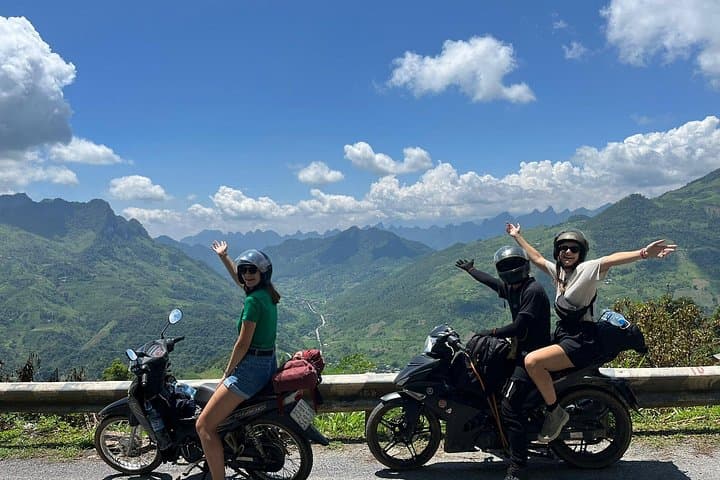
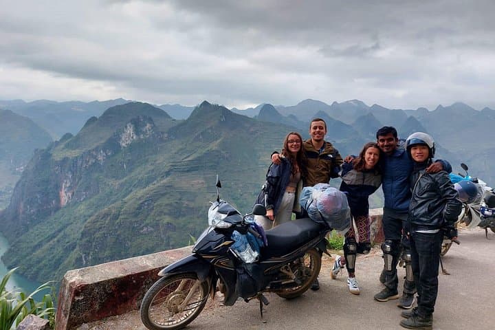
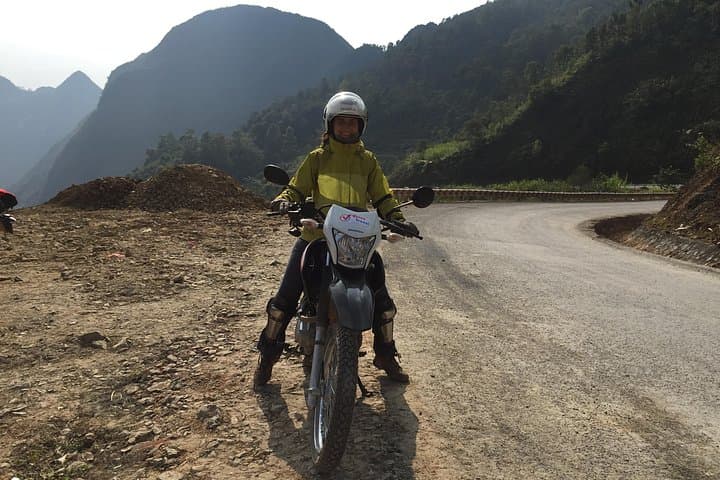
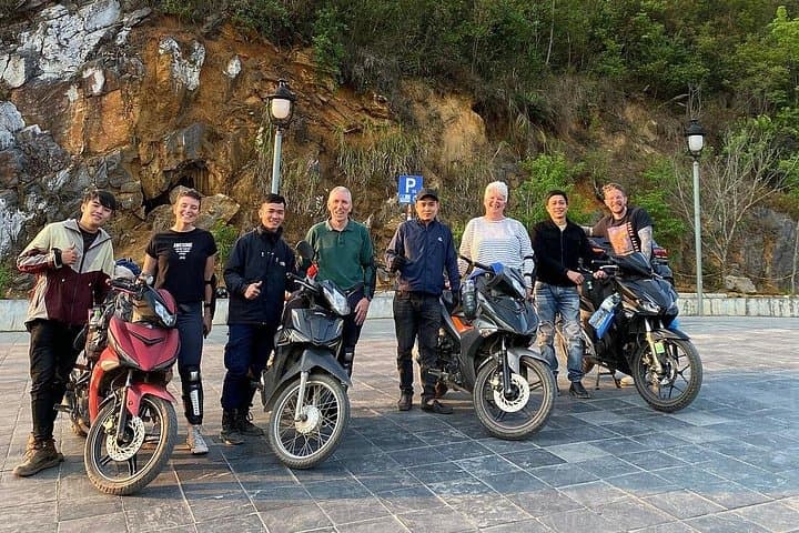
A low morning sun slides across serrated limestone ridges as the convoy peels out of Ha Giang city—motorbikes and minivans threading a ribbon of switchbacks that climbs toward Ma Pi Leng. The road smells of wet earth and wood smoke; valley terraces fan out below like stepped fields of green and gold. Travelers will feel the rhythm of the loop in a single pulse: long drives, short hikes, and evenings in homestays where local songs are as important as the meal.
A low morning sun slides across serrated limestone ridges as the convoy peels out of Ha Giang city—motorbikes and minivans threading a ribbon of switchbacks that climbs toward Ma Pi Leng. The road smells of wet earth and wood smoke; valley terraces fan out below like stepped fields of green and gold. Travelers will feel the rhythm of the loop in a single pulse: long drives, short hikes, and evenings in homestays where local songs are as important as the meal.
The loop traces tectonic history—uplifted karst and folded metamorphic rock—while human history is written in Hmong and Tay villages, markets, and the Hmong King’s Palace in Sa Phin. Lung Cu Flag Pole marks Vietnam’s northern edge; Ma Pi Leng Pass (rising roughly 1,200–1,500 m) gives sweeping views of the Nho Que River cutting emerald canyons. Cultural exchange is constant: weaving demonstrations in Lung Tam, shared dinners in Du Gia, and markets where salt and hand-dyed textiles still trade hands.
Practically, expect long driving days (6–8 hours with stops), short walks to viewpoints and caves, and basic-but-comfortable homestays. Roads are narrow with frequent hairpins—good visibility and a calm rider or driver matter. Carry layered clothing for temperature swings, a waterproof layer for sudden summer storms, and cash for market purchases. Hydrate on the road; altitude is modest but mornings can be sharp. The loop rewards patience: each bend repositions the landscape, and simple interactions with local communities make the journey more than a string of vistas—it's a moving classroom of geology, history, and everyday mountain life.