THE ADVENTURE COLLECTIVE® · Independent discovery and booking for outdoor travel

A compact, high-altitude trek from Salento to the snow edge of Nevado del Tolima (5,100 m). Over three days you'll pass wax palms and páramo, sleep on a mountain farm, and tackle a short snow approach under guided supervision.
A compact, high-altitude trek from Salento to the snow edge of Nevado del Tolima (5,100 m). Over three days you'll pass wax palms and páramo, sleep on a mountain farm, and tackle a short snow approach under guided supervision.
A thin oxygen hush greets hikers who leave Salento before dawn, the village lights swallowing as the road climbs toward the Cocora Valley and beyond.
Verified experiences and guided adventures in the surrounding area.
Operated by Quimbayas Trail Colombia · Salento, Quindío
A thin oxygen hush greets hikers who leave Salento before dawn, the village lights swallowing as the road climbs toward the Cocora Valley and beyond.
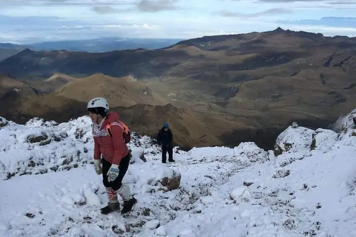
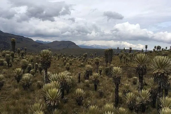
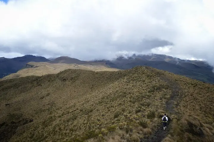
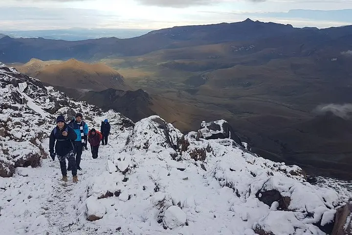
By midday the route threads through wax palm groves and cloud forest, then rises into páramo where tussock grass gives the slope attitude and the wind seems to push you forward. On day two the trail negotiates hard-packed snow and scree as it edges the glacier at roughly 5,100 m — the "snowy edge" where the volcano’s ice meets the sky.
Geology here is raw: Nevado del Tolima is a high Andean stratovolcano within Los Nevados National Natural Park, shaped by eruptions, glacial carving and rapid uplift. The valley and farms reflect Quindío’s campesino culture — simple mountain hospitality at 3,800 m, warming stews and mules’ rhythms that have moved goods along these passes for generations.
Practical essentials are concrete: the itinerary covers roughly 18–20 km per travel day with sustained climbs to 5,100 m, mixed terrain from muddy forest track to exposed páramo and snow. Expect thin air, cold mornings, and rapidly changing weather; guided travel and National Park registration are standard. Footwear with ankle support, windproof layers, sun protection, and at least basic crampon skills for the upper snowfield make the difference between a steady summit attempt and an early turnback.
This is a short but high-altitude expedition — vivid, physical, and governed by mountain weather and glacier conditions. Plan acclimatization, prioritize hydration, and respect park rules to keep the volcano’s fragile highland living.
The route is physically demanding due to sustained elevation gain and thin air; technical difficulty is low–moderate if snow conditions are stable, but fitness and acclimatization are essential.
Guided groups typically accept experienced trekkers; basic snow travel skills (using crampons) are recommended for safety at the upper slopes.
Private transport, National Park registration, guide, meals (breakfast/lunch/dinner as listed), 2 nights farm accommodation, and snacks are included per the itinerary.
Driest windows are commonly December–February and June–August; however, mountain weather is unpredictable so expect snow and cold at high elevations year-round.
Quimbayas Trail Colombia operates guided outdoor trips and adventures with an emphasis on safety, stewardship, and memorable experiences.
A thin oxygen hush greets hikers who leave Salento before dawn, the village lights swallowing as the road climbs toward the Cocora Valley and beyond.
A thin oxygen hush greets hikers who leave Salento before dawn, the village lights swallowing as the road climbs toward the Cocora Valley and beyond.
By midday the route threads through wax palm groves and cloud forest, then rises into páramo where tussock grass gives the slope attitude and the wind seems to push you forward. On day two the trail negotiates hard-packed snow and scree as it edges the glacier at roughly 5,100 m — the "snowy edge" where the volcano’s ice meets the sky.
Geology here is raw: Nevado del Tolima is a high Andean stratovolcano within Los Nevados National Natural Park, shaped by eruptions, glacial carving and rapid uplift. The valley and farms reflect Quindío’s campesino culture — simple mountain hospitality at 3,800 m, warming stews and mules’ rhythms that have moved goods along these passes for generations.
Practical essentials are concrete: the itinerary covers roughly 18–20 km per travel day with sustained climbs to 5,100 m, mixed terrain from muddy forest track to exposed páramo and snow. Expect thin air, cold mornings, and rapidly changing weather; guided travel and National Park registration are standard. Footwear with ankle support, windproof layers, sun protection, and at least basic crampon skills for the upper snowfield make the difference between a steady summit attempt and an early turnback.
This is a short but high-altitude expedition — vivid, physical, and governed by mountain weather and glacier conditions. Plan acclimatization, prioritize hydration, and respect park rules to keep the volcano’s fragile highland living.