THE ADVENTURE COLLECTIVE® · Independent discovery and booking for outdoor travel

A four-day, mule-supported trek from Imlil into the High Atlas that mixes steady ascents, terraced Berber villages, and high passes with sweeping valley views. Perfect for hikers who want cultural contact and challenging day hikes without technical climbing.
A four-day, mule-supported trek from Imlil into the High Atlas that mixes steady ascents, terraced Berber villages, and high passes with sweeping valley views. Perfect for hikers who want cultural contact and challenging day hikes without technical climbing.
Morning light spills across scree and terraced fields as the minibus slides away from Marrakech and into the High Atlas. By the time trekkers unload in Imlil the air is thinner and the scent of pine sharp—mules clip-clop nearby and the village feels like the threshold to a different pace. Over four days the route climbs old mule tracks, crosses irrigated terraces, and crests passes that open to broad valley bowls and distant peaks.
Verified experiences and guided adventures in the surrounding area.
Operated by Atlas Mountains View · Imlil, Marrakech-Safi
Morning light spills across scree and terraced fields as the minibus slides away from Marrakech and into the High Atlas. By the time trekkers unload in Imlil the air is thinner and the scent of pine sharp—mules clip-clop nearby and the village feels like the threshold to a different pace. Over four days the route climbs old mule tracks, crosses irrigated terraces, and crests passes that open to broad valley bowls and distant peaks.
Geologically the High Atlas is a young, rugged range of folded metamorphic and volcanic rock; steep slopes and sharp ridgelines steer water into narrow river valleys where Berber farming communities built terraces and ingenious irrigation channels. Culturally the trail threads through small Berber gites where communal meals—steamed tajine and flatbread—reflect a mountain agrarian life still closely tied to seasonal crops and livestock. Hammams in Tizi Oussem and the red-stone villages preserve traditions of hospitality.
Expect daily walking of 5–7 hours, steady ascents to roughly 2,300–2,500 m, rocky trails and occasional scree sections. Mules carry luggage so hikers move with daypacks. Practicalities: start early to avoid midday sun, carry a water reservoir and layered clothing for large temperature swings, and budget time for unhurried passes and photo stops. Guides are bilingual and arrange gite stays or optional camping; emergency evacuation is limited so travel insurance and moderate fitness are required. The route rewards with waterfall views, high passes, and a close-up look at mountain farming that has adapted to thin soil and scarce water.
You should have a moderate to good fitness level—able to walk 5–7 hours on uneven terrain for several consecutive days; daily elevation changes of 400–800 m are typical.
Yes—mules and muleteers carry main luggage, and the itinerary includes breakfasts, lunches and dinners with local cuisine served at gites.
Camping is possible seasonally (typically June–October) but must be requested in advance; gites are the default and offer basic beds and communal facilities.
The trek reaches roughly 2,500 m—most trekkers tolerate this without issues, but hydrate, ascend at a steady pace, and notify your guide if you develop symptoms.
Atlas Mountains View operates guided outdoor trips and adventures with an emphasis on safety, stewardship, and memorable experiences.
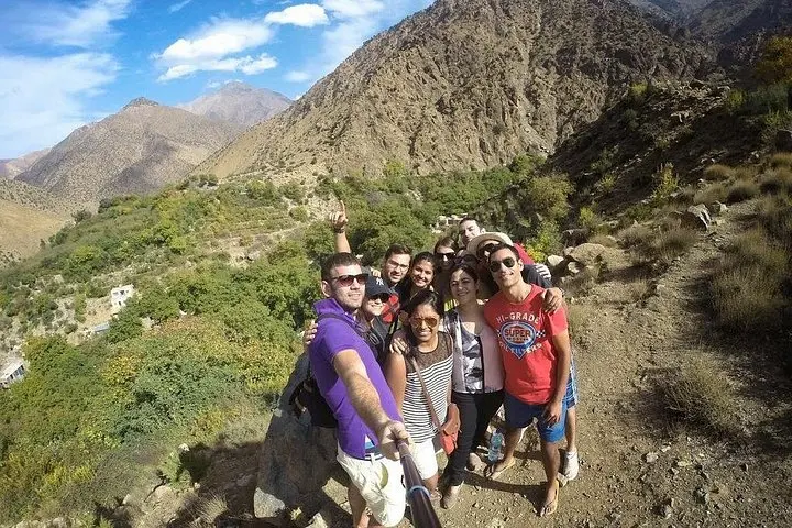
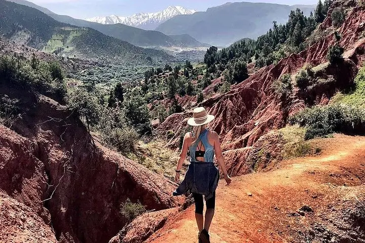
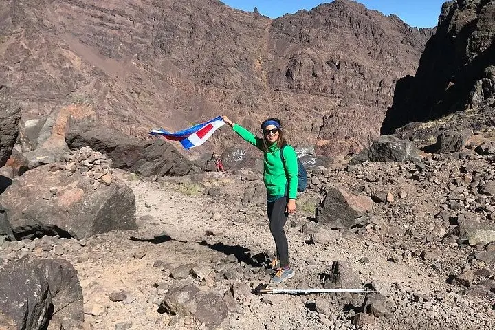
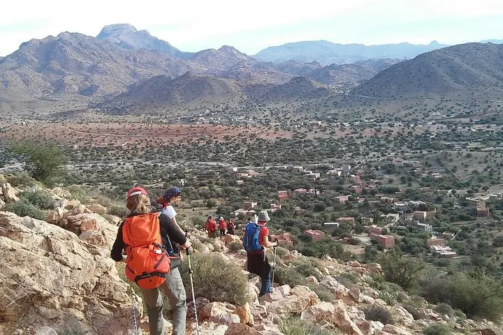
Morning light spills across scree and terraced fields as the minibus slides away from Marrakech and into the High Atlas. By the time trekkers unload in Imlil the air is thinner and the scent of pine sharp—mules clip-clop nearby and the village feels like the threshold to a different pace. Over four days the route climbs old mule tracks, crosses irrigated terraces, and crests passes that open to broad valley bowls and distant peaks.
Morning light spills across scree and terraced fields as the minibus slides away from Marrakech and into the High Atlas. By the time trekkers unload in Imlil the air is thinner and the scent of pine sharp—mules clip-clop nearby and the village feels like the threshold to a different pace. Over four days the route climbs old mule tracks, crosses irrigated terraces, and crests passes that open to broad valley bowls and distant peaks.
Geologically the High Atlas is a young, rugged range of folded metamorphic and volcanic rock; steep slopes and sharp ridgelines steer water into narrow river valleys where Berber farming communities built terraces and ingenious irrigation channels. Culturally the trail threads through small Berber gites where communal meals—steamed tajine and flatbread—reflect a mountain agrarian life still closely tied to seasonal crops and livestock. Hammams in Tizi Oussem and the red-stone villages preserve traditions of hospitality.
Expect daily walking of 5–7 hours, steady ascents to roughly 2,300–2,500 m, rocky trails and occasional scree sections. Mules carry luggage so hikers move with daypacks. Practicalities: start early to avoid midday sun, carry a water reservoir and layered clothing for large temperature swings, and budget time for unhurried passes and photo stops. Guides are bilingual and arrange gite stays or optional camping; emergency evacuation is limited so travel insurance and moderate fitness are required. The route rewards with waterfall views, high passes, and a close-up look at mountain farming that has adapted to thin soil and scarce water.