THE ADVENTURE COLLECTIVE® · Independent discovery and booking for outdoor travel

A six-day guided trek across the Hoang Lien foothills from Lao Cai to Bac Ha, weaving through Hmong, Nung and Tay villages, rice terraces, rivers and open ridgelines. Expect daily 3–6 hour hikes, homestays, and the colorful Bac Ha market on day five.
A six-day guided trek across the Hoang Lien foothills from Lao Cai to Bac Ha, weaving through Hmong, Nung and Tay villages, rice terraces, rivers and open ridgelines. Expect daily 3–6 hour hikes, homestays, and the colorful Bac Ha market on day five.
Dawn breaks over terraced rice slopes as you step off the minivan in Muong Khuong—humid air, birds calling, and a single-track trail that threads between stilt houses and pine-scrub ridgelines. Over the next six days you move through the lower Hoang Lien range, walking valley floors, crossing streams, and climbing to open saddles where the wind reads your map aloud.
Verified experiences and guided adventures in the surrounding area.
Operated by Asia Travel Links · Sapa, Lao Cai Province
Dawn breaks over terraced rice slopes as you step off the minivan in Muong Khuong—humid air, birds calling, and a single-track trail that threads between stilt houses and pine-scrub ridgelines. Over the next six days you move through the lower Hoang Lien range, walking valley floors, crossing streams, and climbing to open saddles where the wind reads your map aloud.
The Hoang Lien Son massif is geologically young, carved from limestone and metamorphic rock and uplifted by tectonic forces that created steep river-cut valleys and narrow ridges. Culturally the route threads Hmong, Nung, Tay and Red Dao villages; traditional dress and market days (notably Bac Ha on Sunday) remain central to local life and economy. Small-scale agriculture—rice paddies, bamboo groves, and hillside gardens—shapes both scenery and pace.
Expect varied terrain: dirt roads, technical single-track, stream fords, and occasional steep ascents. Daily sections typically run three to six hours of walking with cumulative elevation swings rather than extreme altitude—most time is spent between 600–1,600 m. Homestays in stilt houses and simple village shelters are the norm; porters often carry group food and luggage.
Practical planning: travel light, use waterproof footwear for stream crossings, and pack layers for wet afternoons and cool nights. Go with a local guide who knows seasonal river levels and market schedules. Allow time for cultural pauses—tea with a Tay family or watching women dye fabrics—and leave no trace: village trails are resilient but still fragile.
This itinerary rewards steady pacing and curiosity: it’s less about bagging peaks than moving through people-shaped landscapes where every bend reveals another section of the borderland story.
No special national permits are required for the villages and trails on this commercial route; your operator and guide handle local permissions and fees included in the itinerary.
Homestays are simple: sleeping on mats or basic beds in stilt houses or a school; expect shared facilities, squat toilets in some places, and warm village hospitality.
Most walking stays below 1,600 m; altitude sickness is uncommon—standard acclimatization and pacing are sufficient for most travelers.
October–December and March–May offer clearer skies and moderate temperatures; heavy rains from May–October can make trails slippery and raise river levels.
Asia Travel Links operates guided outdoor trips and adventures with an emphasis on safety, stewardship, and memorable experiences.
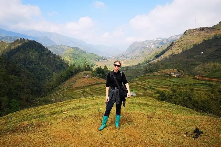
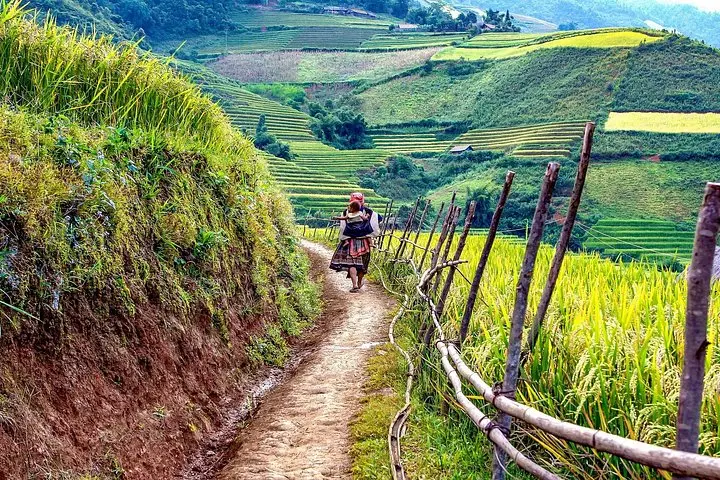
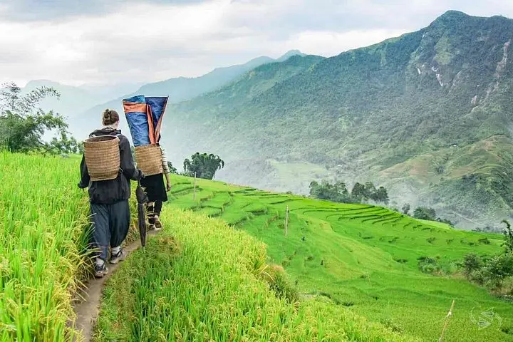
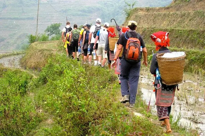
Dawn breaks over terraced rice slopes as you step off the minivan in Muong Khuong—humid air, birds calling, and a single-track trail that threads between stilt houses and pine-scrub ridgelines. Over the next six days you move through the lower Hoang Lien range, walking valley floors, crossing streams, and climbing to open saddles where the wind reads your map aloud.
Dawn breaks over terraced rice slopes as you step off the minivan in Muong Khuong—humid air, birds calling, and a single-track trail that threads between stilt houses and pine-scrub ridgelines. Over the next six days you move through the lower Hoang Lien range, walking valley floors, crossing streams, and climbing to open saddles where the wind reads your map aloud.
The Hoang Lien Son massif is geologically young, carved from limestone and metamorphic rock and uplifted by tectonic forces that created steep river-cut valleys and narrow ridges. Culturally the route threads Hmong, Nung, Tay and Red Dao villages; traditional dress and market days (notably Bac Ha on Sunday) remain central to local life and economy. Small-scale agriculture—rice paddies, bamboo groves, and hillside gardens—shapes both scenery and pace.
Expect varied terrain: dirt roads, technical single-track, stream fords, and occasional steep ascents. Daily sections typically run three to six hours of walking with cumulative elevation swings rather than extreme altitude—most time is spent between 600–1,600 m. Homestays in stilt houses and simple village shelters are the norm; porters often carry group food and luggage.
Practical planning: travel light, use waterproof footwear for stream crossings, and pack layers for wet afternoons and cool nights. Go with a local guide who knows seasonal river levels and market schedules. Allow time for cultural pauses—tea with a Tay family or watching women dye fabrics—and leave no trace: village trails are resilient but still fragile.
This itinerary rewards steady pacing and curiosity: it’s less about bagging peaks than moving through people-shaped landscapes where every bend reveals another section of the borderland story.