THE ADVENTURE COLLECTIVE® · Independent discovery and booking for outdoor travel

Drive ancient Silk Road passages through high mountain passes, border rivers and remote homestays on this eight‑day Pamir Highway overland trip. Expect long days on rugged roads, striking alpine views and deep cultural encounters.
Drive ancient Silk Road passages through high mountain passes, border rivers and remote homestays on this eight‑day Pamir Highway overland trip. Expect long days on rugged roads, striking alpine views and deep cultural encounters.
The road unfurls like a map of old empires as you leave Dushanbe and climb toward the high Pamirs — jagged ridgelines, the slow braid of the Pyanj River and villages that seem carved from the same stone as the mountains.
Verified experiences and guided adventures in the surrounding area.
Operated by Sayohat Travel · Khorog, Gorno-Badakhshan Autonomous Region
The road unfurls like a map of old empires as you leave Dushanbe and climb toward the high Pamirs — jagged ridgelines, the slow braid of the Pyanj River and villages that seem carved from the same stone as the mountains.
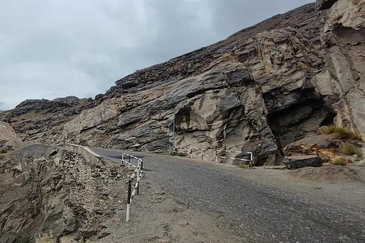
This eight‑day overland route follows sections of the ancient Silk Road and the modern Pamir Highway, crossing Shurabad (2,267 m), Khoburabot (3,252 m), Khargushi (4,344 m) and Nazay‑Tash (4,137 m) passes. Geologically, you travel a collision zone where the Pamir and Hindu Kush uplifted in thrusts and folded strata; scree slopes and glacial remnants frame high plateaus that host sparse pastures and stark, wind‑scoured lakes like Yashk Kul.
Culturally the journey is as much about people as peaks: Pamiri and Kyrgyz communities retain distinct languages, wooden homestays, and Sufi and Buddhist archaeological traces — Yamchun Fortress and local shrines punctuate the route. The road runs along the Afghan border in places, offering sweeping views into the Wakhan Corridor.
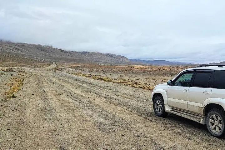
Practical guidance: expect long driving days (6–8 hrs on mountain roads), simple guesthouses and homestays, and thin air above 3,500 m. Pace your fluids, sleep low when possible, and keep a warm layer for night and high passes. Roads are largely unpaved; a sturdy vehicle and patient driver matter. Best travel months are late spring to early autumn (May–September) when passes are open and mountain weather is more stable.
This trip is an expedition in contrasts — remote villages and high alpine silence — delivered with practical logistics that let the landscape take center stage.
Foreign visitors to Gorno‑Badakhshan Autonomous Region (GBAO) often require a GBAO permit; most operators arrange this paperwork as part of the booking.
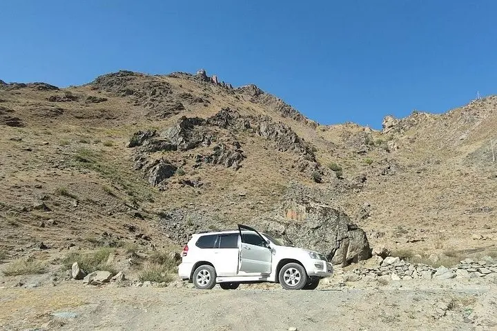
Expect long days (typically 6–8 hours) on mostly unpaved, sometimes rough mountain roads; travel with a 4x4 and an experienced driver to manage conditions.
Accommodations are basic: guesthouses, homestays and simple hostels with shared facilities — comfort is modest but authentic.
Late spring to early autumn (May–September) is best; winter snows close high passes and bring unpredictable conditions.
Sayohat Travel operates guided outdoor trips and adventures with an emphasis on safety, stewardship, and memorable experiences.
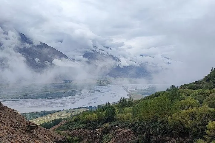
The road unfurls like a map of old empires as you leave Dushanbe and climb toward the high Pamirs — jagged ridgelines, the slow braid of the Pyanj River and villages that seem carved from the same stone as the mountains.
The road unfurls like a map of old empires as you leave Dushanbe and climb toward the high Pamirs — jagged ridgelines, the slow braid of the Pyanj River and villages that seem carved from the same stone as the mountains.
This eight‑day overland route follows sections of the ancient Silk Road and the modern Pamir Highway, crossing Shurabad (2,267 m), Khoburabot (3,252 m), Khargushi (4,344 m) and Nazay‑Tash (4,137 m) passes. Geologically, you travel a collision zone where the Pamir and Hindu Kush uplifted in thrusts and folded strata; scree slopes and glacial remnants frame high plateaus that host sparse pastures and stark, wind‑scoured lakes like Yashk Kul.
Culturally the journey is as much about people as peaks: Pamiri and Kyrgyz communities retain distinct languages, wooden homestays, and Sufi and Buddhist archaeological traces — Yamchun Fortress and local shrines punctuate the route. The road runs along the Afghan border in places, offering sweeping views into the Wakhan Corridor.
Practical guidance: expect long driving days (6–8 hrs on mountain roads), simple guesthouses and homestays, and thin air above 3,500 m. Pace your fluids, sleep low when possible, and keep a warm layer for night and high passes. Roads are largely unpaved; a sturdy vehicle and patient driver matter. Best travel months are late spring to early autumn (May–September) when passes are open and mountain weather is more stable.
This trip is an expedition in contrasts — remote villages and high alpine silence — delivered with practical logistics that let the landscape take center stage.