THE ADVENTURE COLLECTIVE® · Independent discovery and booking for outdoor travel
Take a 90-minute airplane tour from Hayward and see Napa Valley’s vineyards, towns, and geology from above. Perfect for first-time visitors who want fast orientation and cinematic views—bring layers, a camera, and an appetite for aerial perspective.
Take a 90-minute airplane tour from Hayward and see Napa Valley’s vineyards, towns, and geology from above. Perfect for first-time visitors who want fast orientation and cinematic views—bring layers, a camera, and an appetite for aerial perspective.
You lift off from Hayward and the shoreline peels away beneath the wing—Oakland's skyline shrinks, the Bay Bridge threads the water, and San Pablo Bay opens like a silver sheet daring you to look closer.
Verified experiences and guided adventures in the surrounding area.
Operated by Fly San Francisco Tours · Hayward, California
You lift off from Hayward and the shoreline peels away beneath the wing—Oakland's skyline shrinks, the Bay Bridge threads the water, and San Pablo Bay opens like a silver sheet daring you to look closer.
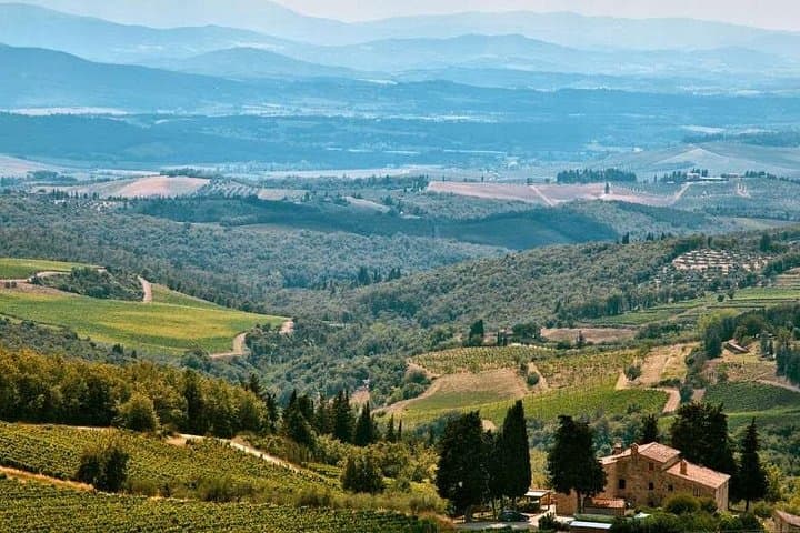
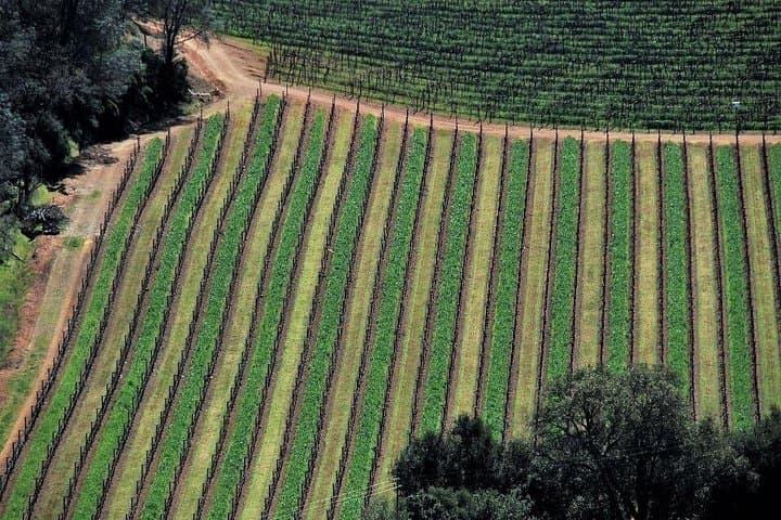
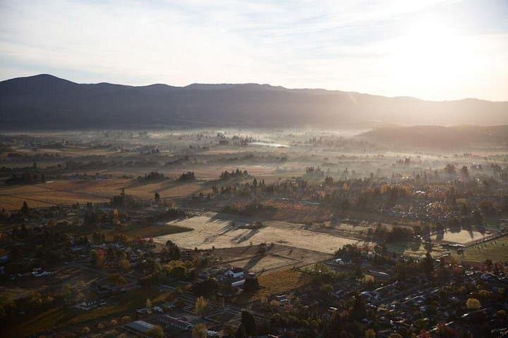
This 90-minute aerial tour, flown in a high-wing Cessna or low-wing Piper with an FAA-certified pilot-guide, turns Napa Valley’s 30-by-5-mile ribbon of vineyards into a readable map: Yountville’s tidy blocks, Oakville’s long estate lanes, Rutherford’s gravel roads, and the steamier silhouette of Calistoga’s hot springs. Geologically, you’re seeing the divide between the Mayacamas and Vaca ranges; the valley floor is alluvial soil that made this region a viticultural powerhouse since 19th-century European plantings and the industrial-scale transformation after Prohibition.
Culturally, the flight cuts across small towns with big culinary reputations and hundreds of boutique wineries—over 500 in the county—each farming slopes and flats differently. From above you can spot the Old Silverado Trail hugging the eastern hills and patchwork blocks of Carneros in the south.
Practically: arrive early, bring a camera and polarized sunglasses, and expect to use provided headsets for narration. Weight and passenger minimums apply; flights cancel for poor weather and are subject to FAA rules and operator policies. Wear layers—coastal mornings can be cool while valley air warms quickly. If you’re prone to motion sickness, take precautions; window seats reward you with the most direct views. This tour is accessible for most travelers and is an efficient way to orient yourself to Napa’s geography before committing to tastings or hikes on the ground.
Flights depart from the operator’s Fly San Francisco office in the Hayward area; confirm exact meeting point on your voucher.
Yes, the operator requires at least two people per booking for this private flight.
Infants can fly but must have an approved car seat provided by the guardian; disclose infant age during booking.
The tour will be canceled for poor weather with a full refund if you cancel at least 24 hours before departure; operators may reschedule when possible.
Fly San Francisco Tours operates guided outdoor trips and adventures with an emphasis on safety, stewardship, and memorable experiences.

You lift off from Hayward and the shoreline peels away beneath the wing—Oakland's skyline shrinks, the Bay Bridge threads the water, and San Pablo Bay opens like a silver sheet daring you to look closer.
You lift off from Hayward and the shoreline peels away beneath the wing—Oakland's skyline shrinks, the Bay Bridge threads the water, and San Pablo Bay opens like a silver sheet daring you to look closer.
This 90-minute aerial tour, flown in a high-wing Cessna or low-wing Piper with an FAA-certified pilot-guide, turns Napa Valley’s 30-by-5-mile ribbon of vineyards into a readable map: Yountville’s tidy blocks, Oakville’s long estate lanes, Rutherford’s gravel roads, and the steamier silhouette of Calistoga’s hot springs. Geologically, you’re seeing the divide between the Mayacamas and Vaca ranges; the valley floor is alluvial soil that made this region a viticultural powerhouse since 19th-century European plantings and the industrial-scale transformation after Prohibition.
Culturally, the flight cuts across small towns with big culinary reputations and hundreds of boutique wineries—over 500 in the county—each farming slopes and flats differently. From above you can spot the Old Silverado Trail hugging the eastern hills and patchwork blocks of Carneros in the south.
Practically: arrive early, bring a camera and polarized sunglasses, and expect to use provided headsets for narration. Weight and passenger minimums apply; flights cancel for poor weather and are subject to FAA rules and operator policies. Wear layers—coastal mornings can be cool while valley air warms quickly. If you’re prone to motion sickness, take precautions; window seats reward you with the most direct views. This tour is accessible for most travelers and is an efficient way to orient yourself to Napa’s geography before committing to tastings or hikes on the ground.
