THE ADVENTURE COLLECTIVE® · Independent discovery and booking for outdoor travel

A two-day guided overnight that climbs Acatenango to watch a sunrise above Volcán de Fuego. Expect steep volcanic scree, cold nights, and prime views of active eruptions for photographers and hikers ready for altitude.
A two-day guided overnight that climbs Acatenango to watch a sunrise above Volcán de Fuego. Expect steep volcanic scree, cold nights, and prime views of active eruptions for photographers and hikers ready for altitude.
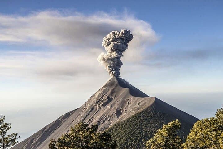
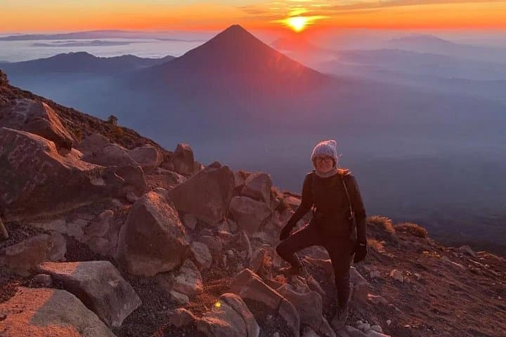
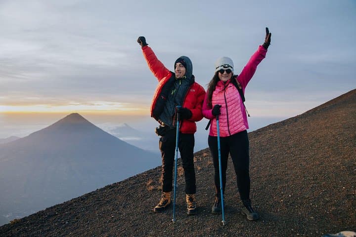
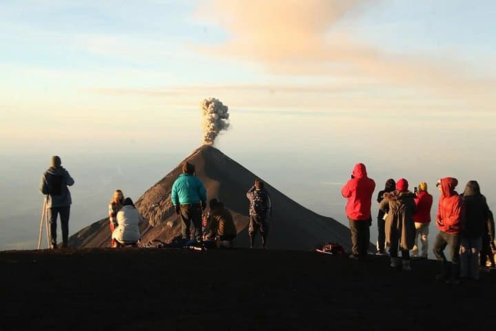
The hike begins in predawn hush at La Soledad, headlamps bobbing as the trail steeps into pine and volcanic scree. By evening the base camp sits under a sky so clear the Milky Way cuts like a knife; before dawn you push again, lungs thin and cold, to catch the sun lift over the serrated rim while Volcán de Fuego punctuates the horizon with incandescent bursts.
Verified experiences and guided adventures in the surrounding area.
Operated by Guate Tours by Nelson. · Antigua Guatemala, Sacatepéquez
The hike begins in predawn hush at La Soledad, headlamps bobbing as the trail steeps into pine and volcanic scree. By evening the base camp sits under a sky so clear the Milky Way cuts like a knife; before dawn you push again, lungs thin and cold, to catch the sun lift over the serrated rim while Volcán de Fuego punctuates the horizon with incandescent bursts.
Acatenango towers to about 3,976 m (13,045 ft) and shares a volcanic massif with Fuego — a live, frequently erupting neighbor. The route follows old lava flows and ash fields, then passes through cloud forest and high-altitude grass before the final rocky scramble. The area is on land historically used by Maya highland communities and played a role in colonial-era travel between Antigua and the Pacific plain.
Expect roughly 6–8 km to camp on day one with 800–1,200 m of elevation gain, then a shorter but steeper 1.5–3 km summit push on day two with another 300–700 m gain depending on your overnight camp elevation. Terrain is mixed: dirt trail, loose volcanic scree, and short rocky sections; guides usually manage route‑finding and overnight shelter.
Practical notes: acclimate in Antigua (1,500 m) for a day, bring layered insulation for subfreezing nights, and carry 2–3 liters of water plus a warm hat and gloves. Guides provide tents, basic bedding, and some warm clothing, but sturdy boots and a reliable headlamp are essential. Weather shifts rapidly — plan for wind, sun, and sudden rain. With preparation, the two-day trip delivers one of Guatemala’s most dramatic summit sunrises and close views of active volcanic fire.
Day one is a steady uphill of 6–8 km with 800–1,200 m gain to camp; the summit push is shorter but steeper — overall it’s challenging, especially because of altitude.
Previous altitude experience helps but isn’t strictly required; you should be fit, acclimate beforehand, and follow guide instructions to reduce altitude illness risk.
Typical inclusions are transfers from Antigua, a professional mountain guide, meals (lunch, dinner, breakfast), base camp cabins/tents and some warm clothing like jackets and gloves — verify specifics when booking.
Night temperatures at base camp commonly drop below freezing (around -2°C to 5°C); a warm sleeping layer and insulated jacket are important.
Guate Tours by Nelson. operates guided outdoor trips and adventures with an emphasis on safety, stewardship, and memorable experiences.
The hike begins in predawn hush at La Soledad, headlamps bobbing as the trail steeps into pine and volcanic scree. By evening the base camp sits under a sky so clear the Milky Way cuts like a knife; before dawn you push again, lungs thin and cold, to catch the sun lift over the serrated rim while Volcán de Fuego punctuates the horizon with incandescent bursts.
The hike begins in predawn hush at La Soledad, headlamps bobbing as the trail steeps into pine and volcanic scree. By evening the base camp sits under a sky so clear the Milky Way cuts like a knife; before dawn you push again, lungs thin and cold, to catch the sun lift over the serrated rim while Volcán de Fuego punctuates the horizon with incandescent bursts.
Acatenango towers to about 3,976 m (13,045 ft) and shares a volcanic massif with Fuego — a live, frequently erupting neighbor. The route follows old lava flows and ash fields, then passes through cloud forest and high-altitude grass before the final rocky scramble. The area is on land historically used by Maya highland communities and played a role in colonial-era travel between Antigua and the Pacific plain.
Expect roughly 6–8 km to camp on day one with 800–1,200 m of elevation gain, then a shorter but steeper 1.5–3 km summit push on day two with another 300–700 m gain depending on your overnight camp elevation. Terrain is mixed: dirt trail, loose volcanic scree, and short rocky sections; guides usually manage route‑finding and overnight shelter.
Practical notes: acclimate in Antigua (1,500 m) for a day, bring layered insulation for subfreezing nights, and carry 2–3 liters of water plus a warm hat and gloves. Guides provide tents, basic bedding, and some warm clothing, but sturdy boots and a reliable headlamp are essential. Weather shifts rapidly — plan for wind, sun, and sudden rain. With preparation, the two-day trip delivers one of Guatemala’s most dramatic summit sunrises and close views of active volcanic fire.