THE ADVENTURE COLLECTIVE® · Independent discovery and booking for outdoor travel

A classic high‑altitude loop across Nepal’s Annapurna range—this 14–15 day trek climbs to Thorong La Pass (5,416 m), passes Tilicho Lake and finishes in Jomsom. Expect long days, varied terrain and rich Himalayan culture.
A classic high‑altitude loop across Nepal’s Annapurna range—this 14–15 day trek climbs to Thorong La Pass (5,416 m), passes Tilicho Lake and finishes in Jomsom. Expect long days, varied terrain and rich Himalayan culture.
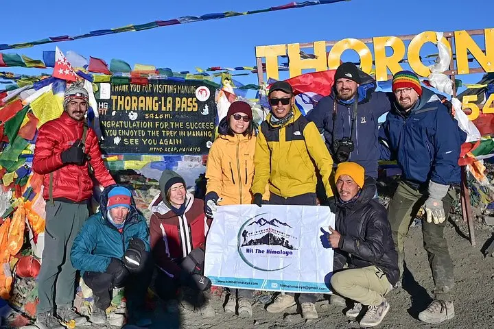
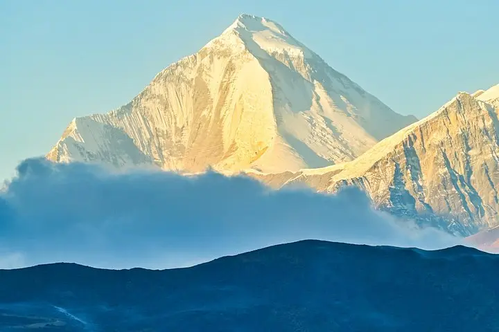
A cold dawn over the Kathmandu Valley gives way to a long, rutted drive toward the Marsyangdi and Trishuli rivers; dust and prayer flags mark the first hours of the Annapurna Circuit. The initial days are river valleys and terraced farmland, then the trail rises through rhododendron woods, high arid plateaus and finally a wind-scoured saddle at Thorong La (5,416 m). The pass gives a hard, immediate reward: jagged summits—Dhaulagiri among them—pressing close enough to feel their altitude.
Verified experiences and guided adventures in the surrounding area.
Operated by Hit The Himalaya · Manang, Gandaki Province
A cold dawn over the Kathmandu Valley gives way to a long, rutted drive toward the Marsyangdi and Trishuli rivers; dust and prayer flags mark the first hours of the Annapurna Circuit. The initial days are river valleys and terraced farmland, then the trail rises through rhododendron woods, high arid plateaus and finally a wind-scoured saddle at Thorong La (5,416 m). The pass gives a hard, immediate reward: jagged summits—Dhaulagiri among them—pressing close enough to feel their altitude.
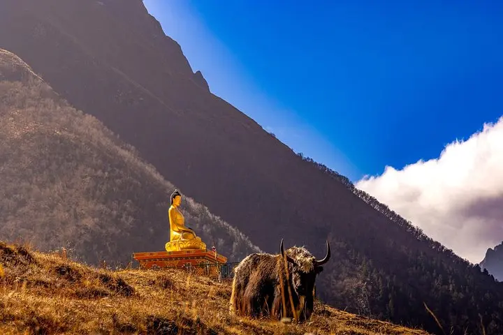
This route follows old trade tracks that linked the lowland markets to upper Mustang and Tibet; geology here is dramatic, with deep Kali Gandaki gorge carved between 8,000-meter giants and moraine fields feeding glaciers like Gangapurna. Local culture shifts with altitude: Newar and Gurung markets in lower villages, Buddhist gompas and mani walls in Manang, and the pilgrimage atmosphere around Muktinath.
Expect varied terrain—village trails, loose scree, stone staircases and high alpine scree—plus long uphill days (Manang approaches 3,540 m; Tilicho Lake day climbs to 4,920 m). The itinerary typically runs 14–15 days with an acclimatization day in Manang and a challenging early-morning push to Thorong La.
Practical guidance: plan for altitude (gain to 5,416 m), stagger your ascent with rest days, carry layered insulation, and know weather windows: spring and autumn offer the most stable conditions. Tea-house lodging is common; porter services are available. Hydrate deliberately, move at a steady pace on steep sections, and budget extra time for road delays or flight cancellations on the Pokhara–Jomsom leg.
Spring (April–May) and autumn (Sept–Oct) offer the most stable weather, clearer views and warmer daytime temperatures.
Thorong La reaches 5,416 m; the route is non-technical but physically demanding and can be windy and icy—early starts and proper layering are crucial.
Yes—trekking into the Annapurna Conservation Area requires an ACAP permit and a TIMS card; operators usually handle permits with your booking.
Yes—licensed guides and porters are common and recommended for logistics, acclimatization monitoring and carrying heavy loads.
Hit The Himalaya operates guided outdoor trips and adventures with an emphasis on safety, stewardship, and memorable experiences.
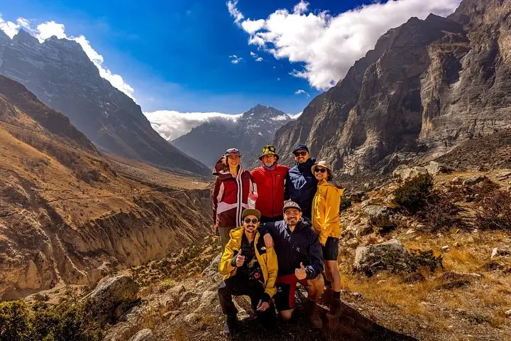
A cold dawn over the Kathmandu Valley gives way to a long, rutted drive toward the Marsyangdi and Trishuli rivers; dust and prayer flags mark the first hours of the Annapurna Circuit. The initial days are river valleys and terraced farmland, then the trail rises through rhododendron woods, high arid plateaus and finally a wind-scoured saddle at Thorong La (5,416 m). The pass gives a hard, immediate reward: jagged summits—Dhaulagiri among them—pressing close enough to feel their altitude.
A cold dawn over the Kathmandu Valley gives way to a long, rutted drive toward the Marsyangdi and Trishuli rivers; dust and prayer flags mark the first hours of the Annapurna Circuit. The initial days are river valleys and terraced farmland, then the trail rises through rhododendron woods, high arid plateaus and finally a wind-scoured saddle at Thorong La (5,416 m). The pass gives a hard, immediate reward: jagged summits—Dhaulagiri among them—pressing close enough to feel their altitude.
This route follows old trade tracks that linked the lowland markets to upper Mustang and Tibet; geology here is dramatic, with deep Kali Gandaki gorge carved between 8,000-meter giants and moraine fields feeding glaciers like Gangapurna. Local culture shifts with altitude: Newar and Gurung markets in lower villages, Buddhist gompas and mani walls in Manang, and the pilgrimage atmosphere around Muktinath.
Expect varied terrain—village trails, loose scree, stone staircases and high alpine scree—plus long uphill days (Manang approaches 3,540 m; Tilicho Lake day climbs to 4,920 m). The itinerary typically runs 14–15 days with an acclimatization day in Manang and a challenging early-morning push to Thorong La.
Practical guidance: plan for altitude (gain to 5,416 m), stagger your ascent with rest days, carry layered insulation, and know weather windows: spring and autumn offer the most stable conditions. Tea-house lodging is common; porter services are available. Hydrate deliberately, move at a steady pace on steep sections, and budget extra time for road delays or flight cancellations on the Pokhara–Jomsom leg.