THE ADVENTURE COLLECTIVE® · Independent discovery and booking for outdoor travel

A 13‑day loop from Kathmandu that combines the classic Annapurna Circuit with a side trip to Tilicho Lake. Expect alpine deserts, high passes and cultural villages, with nights in teahouses and one of the Himalaya’s most demanding days over Thorong La.
A 13‑day loop from Kathmandu that combines the classic Annapurna Circuit with a side trip to Tilicho Lake. Expect alpine deserts, high passes and cultural villages, with nights in teahouses and one of the Himalaya’s most demanding days over Thorong La.
The convoy slips away from Kathmandu before dawn, rice terraces sliding past the window as the road follows the Trishuli and Marsyangdi rivers. The air thins and the landscape hardens into steep river gorges, pine-clad ridges and, eventually, the high, wind-scoured plateaus around Manang. On clear mornings prayer flags whip like bright insects; at altitude the mountains feel active, pushing and testing every step.
Verified experiences and guided adventures in the surrounding area.
Operated by Nomad Mountain Club - NMC · Kathmandu, Bagmati Province
The convoy slips away from Kathmandu before dawn, rice terraces sliding past the window as the road follows the Trishuli and Marsyangdi rivers. The air thins and the landscape hardens into steep river gorges, pine-clad ridges and, eventually, the high, wind-scoured plateaus around Manang. On clear mornings prayer flags whip like bright insects; at altitude the mountains feel active, pushing and testing every step.
Geology here is immediate: the Annapurna massif rises from the deep Kali Gandaki gorge, a collision zone where rock has been folded and ripped into jagged summits. The route threads traditional Tamang, Gurung and Thakali villages—each village a working cultural pocket with stone houses, mani walls and local cuisine shaped by altitude and animal husbandry. Tilicho Lake (4,919 m) is a stark high‑altitude basin, and Thorong La (5,416 m) is a weather gate—both demand respect and careful planning.
Expect a mix of terrains: river valley trails, stone staircases, scree slopes and occasional snowfields. Most nights are in guest houses that offer hot meals and basic beds; Manang’s acclimatization day is useful rather than optional. Water sources are frequent but treatable; yak pastures and dwarf juniper mark the higher zones.
Practical essentials: this is a 13‑day itinerary with several long ascent days—plan for daily marches of 4–7 hours, intermittent steep gains to 800–1,000 m, and one major pass at 5,416 m. Pace deliberately, carry layered insulation, trekking poles, and a reliable guide for permits and emergency response. Altitude sickness is the real variable—watch symptoms, hydrate and allow extra time if needed.
Spring (March–May) and autumn (September–November) offer the most stable weather, best visibility and warmer daytime temperatures; monsoon months can be muddy and winter brings heavy snow on Thorong La.
A licensed guide is strongly recommended for navigation, permit handling and altitude safety; porters are optional but useful for heavy packs on long ascent days.
Thorong La (5,416 m) is the trek’s highest and toughest day—short, steep sections, thin air and strong winds make it a demanding but achievable goal with proper acclimatization.
Yes—Annapurna Conservation Area Project (ACAP) permit and TIMS card are required and are usually handled by your operator before departure.
Nomad Mountain Club - NMC operates guided outdoor trips and adventures with an emphasis on safety, stewardship, and memorable experiences.
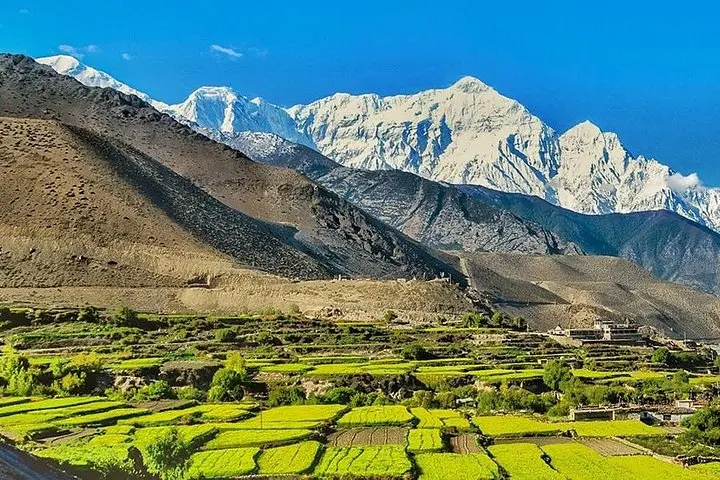
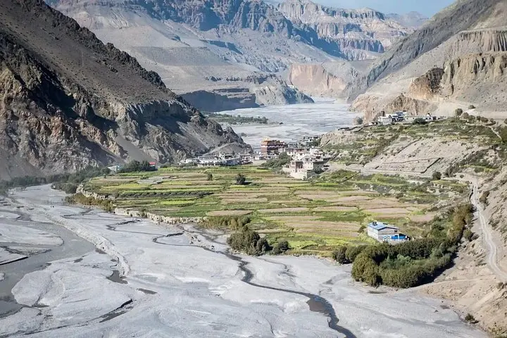
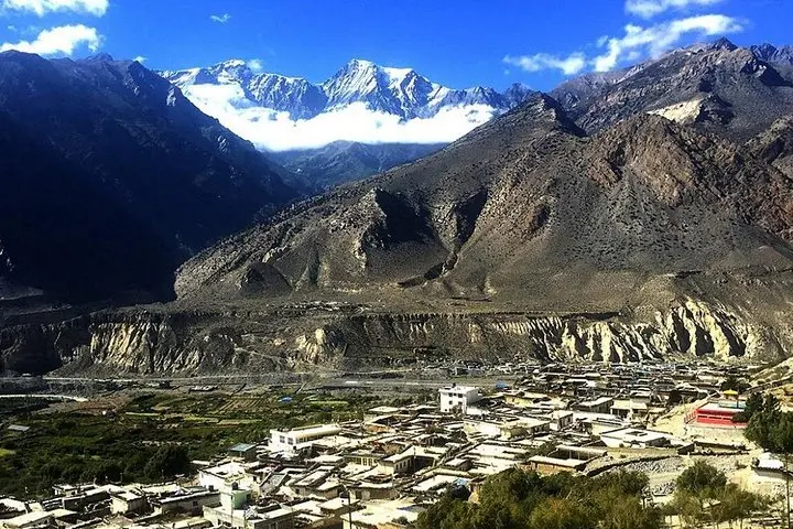
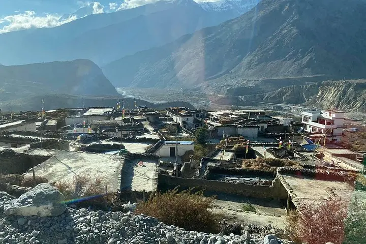
The convoy slips away from Kathmandu before dawn, rice terraces sliding past the window as the road follows the Trishuli and Marsyangdi rivers. The air thins and the landscape hardens into steep river gorges, pine-clad ridges and, eventually, the high, wind-scoured plateaus around Manang. On clear mornings prayer flags whip like bright insects; at altitude the mountains feel active, pushing and testing every step.
The convoy slips away from Kathmandu before dawn, rice terraces sliding past the window as the road follows the Trishuli and Marsyangdi rivers. The air thins and the landscape hardens into steep river gorges, pine-clad ridges and, eventually, the high, wind-scoured plateaus around Manang. On clear mornings prayer flags whip like bright insects; at altitude the mountains feel active, pushing and testing every step.
Geology here is immediate: the Annapurna massif rises from the deep Kali Gandaki gorge, a collision zone where rock has been folded and ripped into jagged summits. The route threads traditional Tamang, Gurung and Thakali villages—each village a working cultural pocket with stone houses, mani walls and local cuisine shaped by altitude and animal husbandry. Tilicho Lake (4,919 m) is a stark high‑altitude basin, and Thorong La (5,416 m) is a weather gate—both demand respect and careful planning.
Expect a mix of terrains: river valley trails, stone staircases, scree slopes and occasional snowfields. Most nights are in guest houses that offer hot meals and basic beds; Manang’s acclimatization day is useful rather than optional. Water sources are frequent but treatable; yak pastures and dwarf juniper mark the higher zones.
Practical essentials: this is a 13‑day itinerary with several long ascent days—plan for daily marches of 4–7 hours, intermittent steep gains to 800–1,000 m, and one major pass at 5,416 m. Pace deliberately, carry layered insulation, trekking poles, and a reliable guide for permits and emergency response. Altitude sickness is the real variable—watch symptoms, hydrate and allow extra time if needed.