THE ADVENTURE COLLECTIVE® · Independent discovery and booking for outdoor travel

Download an offline audio guide and let Beartooth Highway come alive as you drive—stories, geology, and route directions that autoplay at each scenic turnout. Plan for high elevation, changing weather, and plenty of stops to soak in alpine lakes, viewpoints, and the jagged Bear’s Tooth.
Download an offline audio guide and let Beartooth Highway come alive as you drive—stories, geology, and route directions that autoplay at each scenic turnout. Plan for high elevation, changing weather, and plenty of stops to soak in alpine lakes, viewpoints, and the jagged Bear’s Tooth.
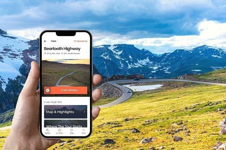
You pull off at a high-mountain turnout, the car idling against thin air, and the voice in your phone begins to speak—maps stop being maps and become stories. The Beartooth Highway climbs from pines into an alpine world of wind-scoured rock, jagged teeth of granite at the skyline, and mirror-flat lakes that refuse to reflect anything but sky.
Verified experiences and guided adventures in the surrounding area.
Operated by GuideAlong (GyPSy Guide) · Red Lodge, Montana
You pull off at a high-mountain turnout, the car idling against thin air, and the voice in your phone begins to speak—maps stop being maps and become stories. The Beartooth Highway climbs from pines into an alpine world of wind-scoured rock, jagged teeth of granite at the skyline, and mirror-flat lakes that refuse to reflect anything but sky.
The route follows a road carved through ancient uplift and glacial ice. Crow people named features here long before engineers routed US‑212; the jagged peak called Bear’s Tooth gives the range and the highway its character. Geology is visible at arm’s length: polished granite, U-shaped valleys, and moraines that sketch the last ice age.
Local culture along the way mixes Forest Service caretakers, volunteer docents at seasonal lookouts, and small town hospitality in Red Lodge and Cooke City. Expect interpretive stops at the West Summit Overlook, Clay Butte Lookout, and a high alpine lake that is a junction for day hikes and backcountry routes.
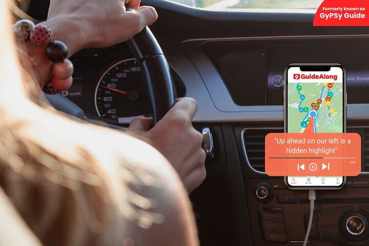
Practical side: this is a drive-first experience—download the audio files before you go, charge your device, and allow extra time for stops. Weather can flip; pack layers and a windproof shell. Watch fuel levels and confirm vehicle clearance on unpaved spurs. The audio app works offline, guiding you turn-by-turn and dropping in historical and natural-history commentary as you pass each point of interest. Drive carefully on exposed switchbacks, respect fragile tundra by staying on established pullouts and trails, and use the guide to prioritize the viewpoints you don’t want to miss.
No; download the tour in the GuideAlong app over Wi‑Fi before you go and it will play location‑based audio offline using your phone’s GPS.
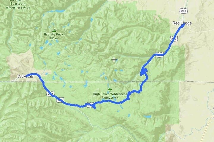
The scenic Byway section of US‑212 from Red Lodge to Cooke City covers roughly 68 miles; plan a full day with stops and short hikes.
The road is seasonal—typically open from late May or June through mid‑October depending on snow; always check current Forest Service or state DOT conditions before travel.
Many sections have steep grades and tight switchbacks; check vehicle length and weight limits and consider parking larger rigs at lower elevations and taking a passenger car for the summit sections.
GuideAlong (GyPSy Guide) operates guided outdoor trips and adventures with an emphasis on safety, stewardship, and memorable experiences.
You pull off at a high-mountain turnout, the car idling against thin air, and the voice in your phone begins to speak—maps stop being maps and become stories. The Beartooth Highway climbs from pines into an alpine world of wind-scoured rock, jagged teeth of granite at the skyline, and mirror-flat lakes that refuse to reflect anything but sky.
You pull off at a high-mountain turnout, the car idling against thin air, and the voice in your phone begins to speak—maps stop being maps and become stories. The Beartooth Highway climbs from pines into an alpine world of wind-scoured rock, jagged teeth of granite at the skyline, and mirror-flat lakes that refuse to reflect anything but sky.
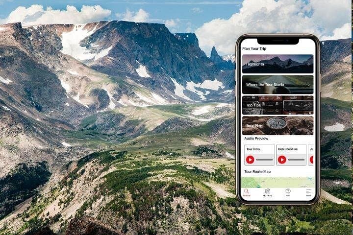
The route follows a road carved through ancient uplift and glacial ice. Crow people named features here long before engineers routed US‑212; the jagged peak called Bear’s Tooth gives the range and the highway its character. Geology is visible at arm’s length: polished granite, U-shaped valleys, and moraines that sketch the last ice age.
Local culture along the way mixes Forest Service caretakers, volunteer docents at seasonal lookouts, and small town hospitality in Red Lodge and Cooke City. Expect interpretive stops at the West Summit Overlook, Clay Butte Lookout, and a high alpine lake that is a junction for day hikes and backcountry routes.
Practical side: this is a drive-first experience—download the audio files before you go, charge your device, and allow extra time for stops. Weather can flip; pack layers and a windproof shell. Watch fuel levels and confirm vehicle clearance on unpaved spurs. The audio app works offline, guiding you turn-by-turn and dropping in historical and natural-history commentary as you pass each point of interest. Drive carefully on exposed switchbacks, respect fragile tundra by staying on established pullouts and trails, and use the guide to prioritize the viewpoints you don’t want to miss.