THE ADVENTURE COLLECTIVE® · Independent discovery and booking for outdoor travel

A four-day circuit through Paro and Thimphu that pairs accessible uphill hiking to Taktsang (Tiger's Nest) with cultural dzongs and the high-basin wetlands of Phobjikha. Ideal for travelers who want outdoor walking plus immersive Bhutanese culture without technical mountaineering.
A four-day circuit through Paro and Thimphu that pairs accessible uphill hiking to Taktsang (Tiger's Nest) with cultural dzongs and the high-basin wetlands of Phobjikha. Ideal for travelers who want outdoor walking plus immersive Bhutanese culture without technical mountaineering.
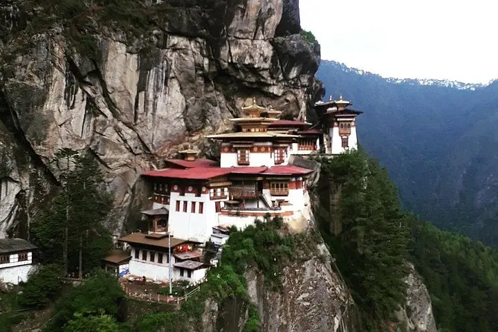
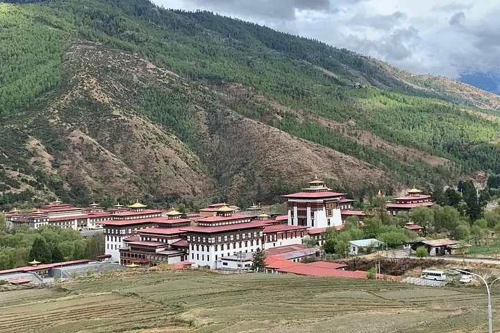
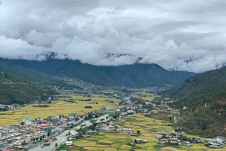
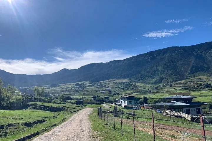
Morning light cuts across the Paro Valley and prayer flags snap like color on a taut line as you step onto a trail that winds toward a temple glued to a cliff face. This four-day loop threads Thimphu’s civic dzongs, the pine-tinged approach to Taktsang (Tiger’s Nest) and the wide, quiet bowl of Phobjikha where black-necked cranes land seasonally.
Verified experiences and guided adventures in the surrounding area.
Operated by Bhutan Maitreya Tusita Travel · Paro, Paro District
Morning light cuts across the Paro Valley and prayer flags snap like color on a taut line as you step onto a trail that winds toward a temple glued to a cliff face. This four-day loop threads Thimphu’s civic dzongs, the pine-tinged approach to Taktsang (Tiger’s Nest) and the wide, quiet bowl of Phobjikha where black-necked cranes land seasonally.
The landscape here is the product of tectonics and ancient ice: steep metamorphic ridges, narrow river gorges carved by the Paro Chhu, and high meadows that open into valley floors. Bhutanese culture is woven into the land — dzongs serve as both monastery and government seat, and archery tournaments in town squares are as much civic celebration as sport.
Expect short cultural walks and temple visits interspersed with a steady 2–3 hour uphill hike to Taktsang (around 3,120 m). Trails are mostly packed earth and stone steps through shady pine forest; footing can be uneven and the altitude noticeable. Weather flips quickly, so mornings typically offer the best visibility for the cliffside monastery and Paro Valley views.
Practical guidance: carry a 20–30L daypack with water (1–2 L), snacks, layered clothing, a waterproof shell and sturdy ankle-support boots. Start the Taktsang trek early to avoid crowds and afternoon clouds, move deliberately to help acclimatization, and respect local customs in temples (remove hats/shoes, ask before photographing). Paro Airport has limited windows — build time buffers into travel plans. This itinerary balances accessible hiking with deep cultural immersion — ideal for travelers seeking meaningful, low-technical outdoor experiences.
The approach involves 2–3 hours of steady uphill on packed trail and stone steps to about 3,120 m; it's non-technical but can be strenuous at altitude.
Most visitors require a visa and an approved itinerary; tours typically handle permits and entry requirements—confirm specifics with your operator before travel.
The cranes overwinter in Phobjikha; peak months are typically November through March when the birds arrive to roost in the wetlands.
Some town sites like Clock Tower Square and certain dzong grounds are accessible, but higher trail sections (e.g., Taktsang) are not suitable for wheelchairs.
Bhutan Maitreya Tusita Travel operates guided outdoor trips and adventures with an emphasis on safety, stewardship, and memorable experiences.
Morning light cuts across the Paro Valley and prayer flags snap like color on a taut line as you step onto a trail that winds toward a temple glued to a cliff face. This four-day loop threads Thimphu’s civic dzongs, the pine-tinged approach to Taktsang (Tiger’s Nest) and the wide, quiet bowl of Phobjikha where black-necked cranes land seasonally.
Morning light cuts across the Paro Valley and prayer flags snap like color on a taut line as you step onto a trail that winds toward a temple glued to a cliff face. This four-day loop threads Thimphu’s civic dzongs, the pine-tinged approach to Taktsang (Tiger’s Nest) and the wide, quiet bowl of Phobjikha where black-necked cranes land seasonally.
The landscape here is the product of tectonics and ancient ice: steep metamorphic ridges, narrow river gorges carved by the Paro Chhu, and high meadows that open into valley floors. Bhutanese culture is woven into the land — dzongs serve as both monastery and government seat, and archery tournaments in town squares are as much civic celebration as sport.
Expect short cultural walks and temple visits interspersed with a steady 2–3 hour uphill hike to Taktsang (around 3,120 m). Trails are mostly packed earth and stone steps through shady pine forest; footing can be uneven and the altitude noticeable. Weather flips quickly, so mornings typically offer the best visibility for the cliffside monastery and Paro Valley views.
Practical guidance: carry a 20–30L daypack with water (1–2 L), snacks, layered clothing, a waterproof shell and sturdy ankle-support boots. Start the Taktsang trek early to avoid crowds and afternoon clouds, move deliberately to help acclimatization, and respect local customs in temples (remove hats/shoes, ask before photographing). Paro Airport has limited windows — build time buffers into travel plans. This itinerary balances accessible hiking with deep cultural immersion — ideal for travelers seeking meaningful, low-technical outdoor experiences.