THE ADVENTURE COLLECTIVE® · Independent discovery and booking for outdoor travel

Follow a GPS-activated audio guide through Big Bend’s canyons, overlooks, and historic sites at your own pace. This self-guided driving tour pairs offline maps with narration to help you explore remote viewpoints and short hikes across an entire day.
Follow a GPS-activated audio guide through Big Bend’s canyons, overlooks, and historic sites at your own pace. This self-guided driving tour pairs offline maps with narration to help you explore remote viewpoints and short hikes across an entire day.
The road opens beneath a hard sun and a sky so wide it seems to push the horizon away. As the engine hums, the audio guide begins—maps, stories, and directions that appear precisely when the GPS knows you’ve turned onto Ross Maxwell Scenic Drive. Rocks rise like sculpted walls; the Rio Grande glints and dares you to slow down and listen.
Verified experiences and guided adventures in the surrounding area.
Operated by Shaka Guide Apps · Big Bend National Park, Texas
The road opens beneath a hard sun and a sky so wide it seems to push the horizon away. As the engine hums, the audio guide begins—maps, stories, and directions that appear precisely when the GPS knows you’ve turned onto Ross Maxwell Scenic Drive. Rocks rise like sculpted walls; the Rio Grande glints and dares you to slow down and listen.
Big Bend’s story is layered: ancient seas left fossil beds, volcanic uplift carved the Chisos, and frontier ranching and cross-border trade shaped human life along the river. The park’s geology ranges from Precambrian gneiss in the Chisos to Cretaceous limestone and volcanic plugs—Mul Ears and the mule-ear profiles are striking examples. Cultural notes highlight Castolon and historic ranch sites where early 20th-century settlers adapted to an arid climate and a borderland economy.
Practical guidance follows the narrative. The self-guided audio format hands you turn-by-turn directions and offline maps so you can stop at overlooks—Santa Elena and Boquillas Canyon—or take short hikes like the 1.6-mile Santa Elena or the 0.3-mile Window View Trail in Chisos Basin. Plan a full day (8–9 hours) to use this tour: start early for cooler temperatures, carry at least 3 liters of water per person, and pack sun protection and layered clothing for Chisos Basin’s cooler elevation. Check river conditions before attempting any crossings and carry a passport if you plan to visit Boquillas del Carmen. The guide’s flexibility lets you skip stops or linger where the light and wind make a place worth more than the map suggests.
No—download the Shaka Guide tour and offline map over Wi‑Fi; GPS works offline so narration triggers without cellular data.
Yes—park entrance fees apply and can be paid at park portals or online; check the National Park Service site for current rates.
Yes—there is an official port of entry at Boquillas; bring a passport and confirm hours and any temporary closures before traveling.
Many stops on the audio tour feature easy, short hikes (under 2 miles) but some routes involve uneven terrain and water crossings—choose stops that match your ability.
Shaka Guide Apps operates guided outdoor trips and adventures with an emphasis on safety, stewardship, and memorable experiences.
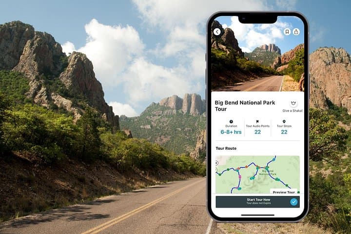
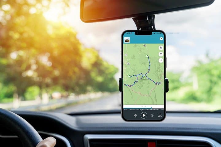
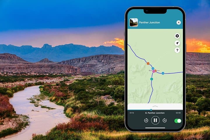

The road opens beneath a hard sun and a sky so wide it seems to push the horizon away. As the engine hums, the audio guide begins—maps, stories, and directions that appear precisely when the GPS knows you’ve turned onto Ross Maxwell Scenic Drive. Rocks rise like sculpted walls; the Rio Grande glints and dares you to slow down and listen.
The road opens beneath a hard sun and a sky so wide it seems to push the horizon away. As the engine hums, the audio guide begins—maps, stories, and directions that appear precisely when the GPS knows you’ve turned onto Ross Maxwell Scenic Drive. Rocks rise like sculpted walls; the Rio Grande glints and dares you to slow down and listen.
Big Bend’s story is layered: ancient seas left fossil beds, volcanic uplift carved the Chisos, and frontier ranching and cross-border trade shaped human life along the river. The park’s geology ranges from Precambrian gneiss in the Chisos to Cretaceous limestone and volcanic plugs—Mul Ears and the mule-ear profiles are striking examples. Cultural notes highlight Castolon and historic ranch sites where early 20th-century settlers adapted to an arid climate and a borderland economy.
Practical guidance follows the narrative. The self-guided audio format hands you turn-by-turn directions and offline maps so you can stop at overlooks—Santa Elena and Boquillas Canyon—or take short hikes like the 1.6-mile Santa Elena or the 0.3-mile Window View Trail in Chisos Basin. Plan a full day (8–9 hours) to use this tour: start early for cooler temperatures, carry at least 3 liters of water per person, and pack sun protection and layered clothing for Chisos Basin’s cooler elevation. Check river conditions before attempting any crossings and carry a passport if you plan to visit Boquillas del Carmen. The guide’s flexibility lets you skip stops or linger where the light and wind make a place worth more than the map suggests.