THE ADVENTURE COLLECTIVE® · Independent discovery and booking for outdoor travel

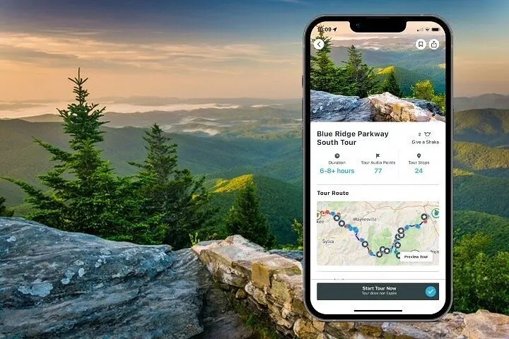
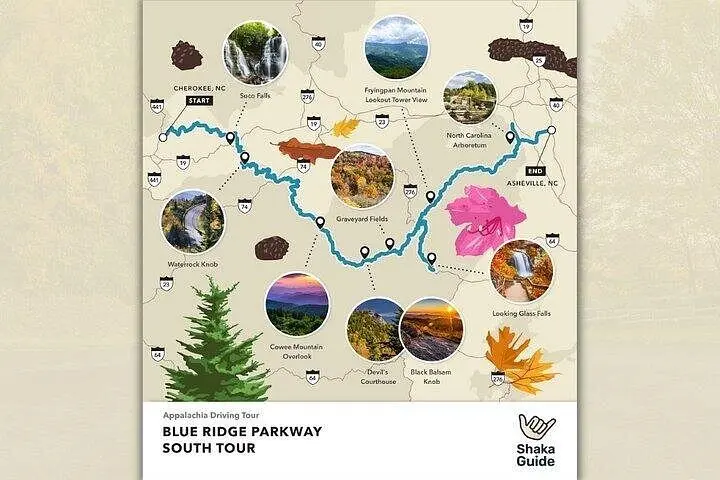
Follow the Blue Ridge Parkway from Asheville to Cherokee with a turn-by-turn self-guided audio tour. Spend a day of overlooks, short hikes and Appalachian stories while the app guides you to waterfalls, summits and quiet pullouts.
Follow the Blue Ridge Parkway from Asheville to Cherokee with a turn-by-turn self-guided audio tour. Spend a day of overlooks, short hikes and Appalachian stories while the app guides you to waterfalls, summits and quiet pullouts.
You ease onto the Blue Ridge Parkway at dawn, pale light laying itself across rolling ridgelines while your phone’s audio guide queues the first story. The road arcs gently, and the narration points out the first overlook—layers of blue mountains marching away as early mist burns off. Pullouts become small theaters where fog, stone and forest perform on repeat.
Verified experiences and guided adventures in the surrounding area.
Operated by Shaka Guide Apps · Asheville, North Carolina
You ease onto the Blue Ridge Parkway at dawn, pale light laying itself across rolling ridgelines while your phone’s audio guide queues the first story. The road arcs gently, and the narration points out the first overlook—layers of blue mountains marching away as early mist burns off. Pullouts become small theaters where fog, stone and forest perform on repeat.
This stretch of the Parkway follows old mountain routes and passes sites tied to Appalachian logging, early forestry education and Cherokee homelands. Geologically, you cross ancient metamorphic rock—exposed domes and the granite face of Looking Glass—while elevations climb to over 6,000 feet at Waterrock Knob, revealing spruce-fir balds that resemble mini alpine zones.
Culturally, the drive threads towns and stories: Asheville’s arts and the Cherokee Reservation’s living traditions bookend the route. The parkway itself was built in the 1930s as a scenic public road; its overlooks, picnic areas and preserved viewpoints were designed to slow travelers down.
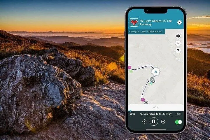
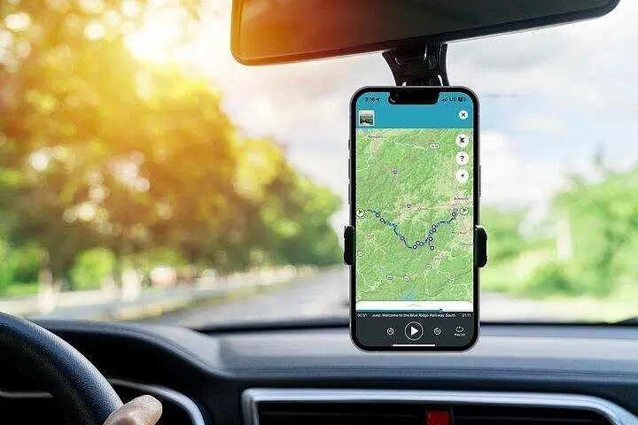
Practical side: the tour is self-guided, roughly an 11–13 hour day with suggested stops for short hikes (from easy strolls to a 4.5-mile round-trip up Mount Pisgah). Bring layered clothing—high elevations can be 20°F cooler—carry water, and download the audio before you go for offline GPS-triggered narration. Start early in peak seasons to secure parking at popular overlooks and plan meals—services are sparse on the higher stretches. Leave no trace, stay on marked paths, and be ready to trade a drive for a late-afternoon summit view when the light sharpens the ridges into contrast.
Download the Shaka Guide app, sign in, choose Retrieve Purchases and enter your 10-digit booking reference to download the tour for offline use.
Many overlooks and visitor areas offer paved access, but higher trails and some viewpoints are not fully accessible—check individual stop details in the app.
Yes—the tour supports travel from Asheville to Cherokee or vice versa; plan logistics for parking and where you’ll end the day.
Mid-October typically brings peak color across elevations, though timing varies year to year—start early and expect heavier visitation during peak weeks.
Shaka Guide Apps operates guided outdoor trips and adventures with an emphasis on safety, stewardship, and memorable experiences.
You ease onto the Blue Ridge Parkway at dawn, pale light laying itself across rolling ridgelines while your phone’s audio guide queues the first story. The road arcs gently, and the narration points out the first overlook—layers of blue mountains marching away as early mist burns off. Pullouts become small theaters where fog, stone and forest perform on repeat.
You ease onto the Blue Ridge Parkway at dawn, pale light laying itself across rolling ridgelines while your phone’s audio guide queues the first story. The road arcs gently, and the narration points out the first overlook—layers of blue mountains marching away as early mist burns off. Pullouts become small theaters where fog, stone and forest perform on repeat.
This stretch of the Parkway follows old mountain routes and passes sites tied to Appalachian logging, early forestry education and Cherokee homelands. Geologically, you cross ancient metamorphic rock—exposed domes and the granite face of Looking Glass—while elevations climb to over 6,000 feet at Waterrock Knob, revealing spruce-fir balds that resemble mini alpine zones.
Culturally, the drive threads towns and stories: Asheville’s arts and the Cherokee Reservation’s living traditions bookend the route. The parkway itself was built in the 1930s as a scenic public road; its overlooks, picnic areas and preserved viewpoints were designed to slow travelers down.
Practical side: the tour is self-guided, roughly an 11–13 hour day with suggested stops for short hikes (from easy strolls to a 4.5-mile round-trip up Mount Pisgah). Bring layered clothing—high elevations can be 20°F cooler—carry water, and download the audio before you go for offline GPS-triggered narration. Start early in peak seasons to secure parking at popular overlooks and plan meals—services are sparse on the higher stretches. Leave no trace, stay on marked paths, and be ready to trade a drive for a late-afternoon summit view when the light sharpens the ridges into contrast.