THE ADVENTURE COLLECTIVE® · Independent discovery and booking for outdoor travel

A compact but steep day hike northeast of Tirana, this trip pairs a bumpy drive with panoramic views over Bovilla Reservoir and Gamti Mountain. Short in distance but punchy in effort, it’s best tackled early in the day with solid footwear and plenty of water.
A compact but steep day hike northeast of Tirana, this trip pairs a bumpy drive with panoramic views over Bovilla Reservoir and Gamti Mountain. Short in distance but punchy in effort, it’s best tackled early in the day with solid footwear and plenty of water.
You step out of the van where the road loses its asphalt and the world sharpens: a rocky track climbs past scrub pines and terraces, the air cooling as the city noise thins. Bovilla Lake sits below like a held breath, its dark surface framed by the rising flank of Gamti Mountain where the trail angles upward.
Verified experiences and guided adventures in the surrounding area.
Operated by Sky Key Travel · Tirana, Tirana County
You step out of the van where the road loses its asphalt and the world sharpens: a rocky track climbs past scrub pines and terraces, the air cooling as the city noise thins. Bovilla Lake sits below like a held breath, its dark surface framed by the rising flank of Gamti Mountain where the trail angles upward.
The reservoir itself is a human-made feature—created by damming a mountain stream to supply Tirana—so your hike threads both natural ridgelines and infrastructure that shaped modern life here. The limestone slopes around Gamti are cut with shallow gullies; underfoot are scree and compact dirt that demand steady footing. Local shepherding traditions persist on the higher meadows, and you may pass small stone walls and pastoral clearings that speak to a rural Albanian way of life still present on these slopes.
Expect a short but steep route: about 2 km of uphill hiking to the main viewpoint, with roughly 150–300 m of elevation gain depending on the chosen line. The canyon lookout on the approach makes a fine photo stop, and the upper viewpoint gives a broad panorama back toward Tirana and the catchment basin.
Practical notes: the access road is unpaved and bumpy; the hike is short but demanding in hot weather, so start early, bring at least 2 liters of water, and wear grippy footwear. Swimming in the reservoir is prohibited to protect the water supply—respect the rules and pack out all trash. Guides typically include pickup from central Tirana and provide local context; plan for a 6–7 hour door-to-door outing including transport and breaks.
The guided hike itself covers roughly 2 km and typically takes 30–45 minutes each way to reach the viewpoint, though breaks extend the on-foot time.
No — swimming, boating, and other water activities are forbidden to protect the reservoir that supplies Tirana’s drinking water.
The last stretch is unpaved and quite bumpy; travel is by van and can be slow, so expect a roughly 1.5 hour drive from central Tirana depending on traffic and weather.
People with serious back, heart conditions, pregnant travelers, children, and those over 65 or without a good degree of fitness are advised not to join due to the hike’s demands and road access.
Sky Key Travel operates guided outdoor trips and adventures with an emphasis on safety, stewardship, and memorable experiences.
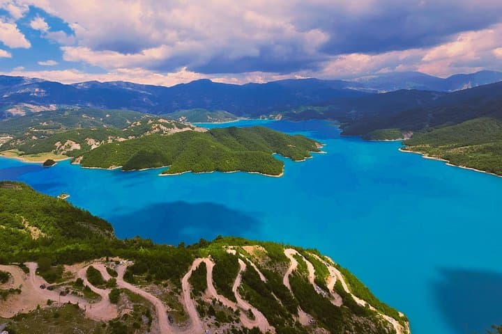
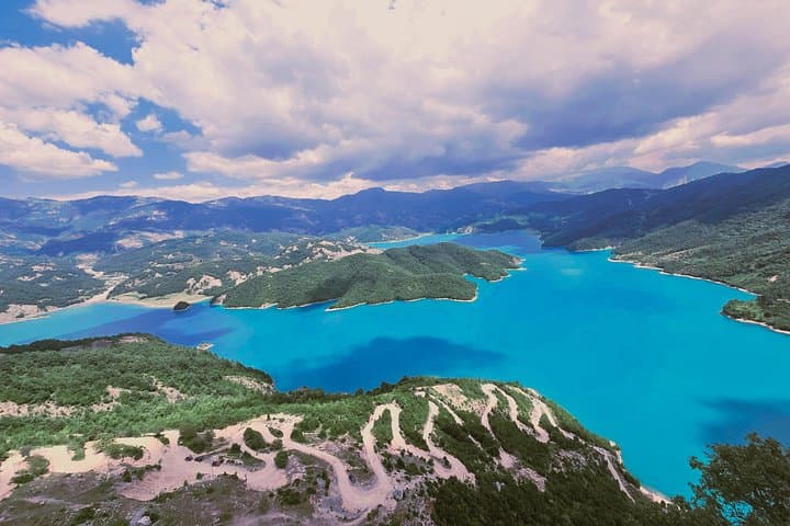
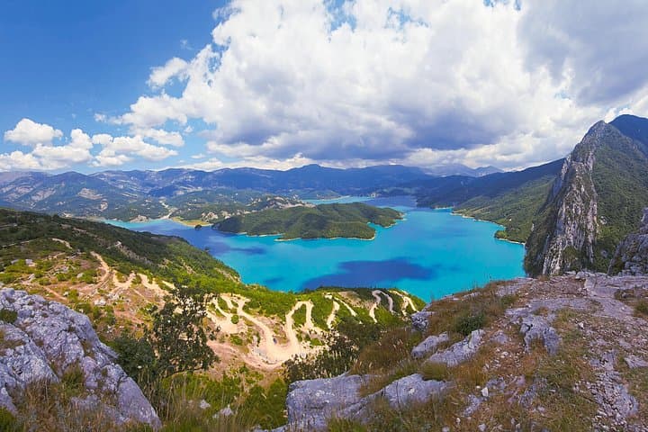
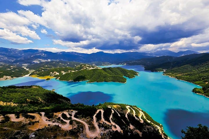
You step out of the van where the road loses its asphalt and the world sharpens: a rocky track climbs past scrub pines and terraces, the air cooling as the city noise thins. Bovilla Lake sits below like a held breath, its dark surface framed by the rising flank of Gamti Mountain where the trail angles upward.
You step out of the van where the road loses its asphalt and the world sharpens: a rocky track climbs past scrub pines and terraces, the air cooling as the city noise thins. Bovilla Lake sits below like a held breath, its dark surface framed by the rising flank of Gamti Mountain where the trail angles upward.
The reservoir itself is a human-made feature—created by damming a mountain stream to supply Tirana—so your hike threads both natural ridgelines and infrastructure that shaped modern life here. The limestone slopes around Gamti are cut with shallow gullies; underfoot are scree and compact dirt that demand steady footing. Local shepherding traditions persist on the higher meadows, and you may pass small stone walls and pastoral clearings that speak to a rural Albanian way of life still present on these slopes.
Expect a short but steep route: about 2 km of uphill hiking to the main viewpoint, with roughly 150–300 m of elevation gain depending on the chosen line. The canyon lookout on the approach makes a fine photo stop, and the upper viewpoint gives a broad panorama back toward Tirana and the catchment basin.
Practical notes: the access road is unpaved and bumpy; the hike is short but demanding in hot weather, so start early, bring at least 2 liters of water, and wear grippy footwear. Swimming in the reservoir is prohibited to protect the water supply—respect the rules and pack out all trash. Guides typically include pickup from central Tirana and provide local context; plan for a 6–7 hour door-to-door outing including transport and breaks.