THE ADVENTURE COLLECTIVE® · Independent discovery and booking for outdoor travel
Drive the Island in the Sky with GPS‑triggered narration that brings Mesa Arch, Dead Horse Point, Upheaval Dome, and hidden granaries to life—at your pace and offline.
Drive the Island in the Sky with GPS‑triggered narration that brings Mesa Arch, Dead Horse Point, Upheaval Dome, and hidden granaries to life—at your pace and offline.
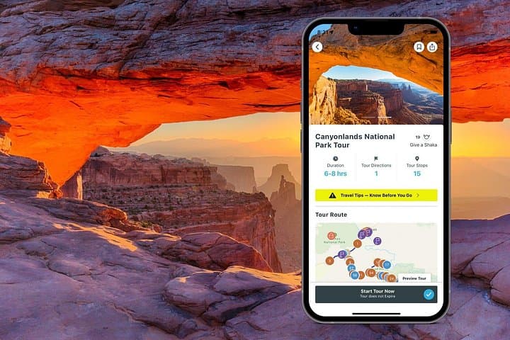
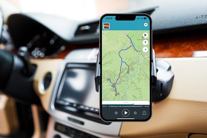
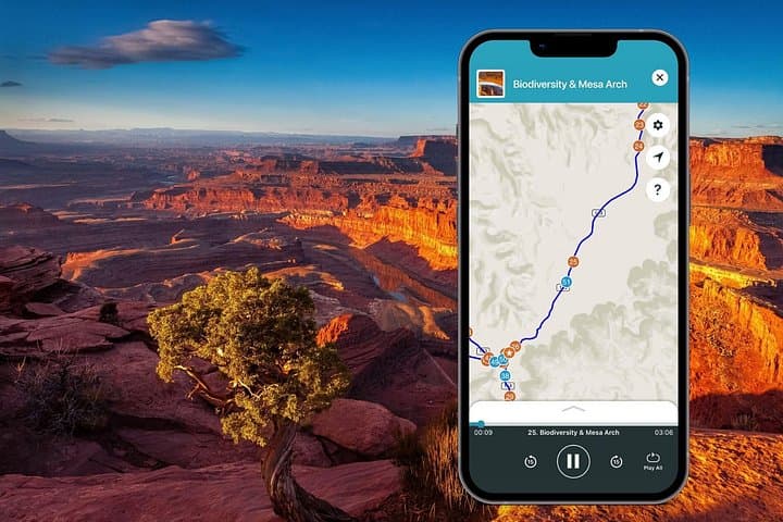
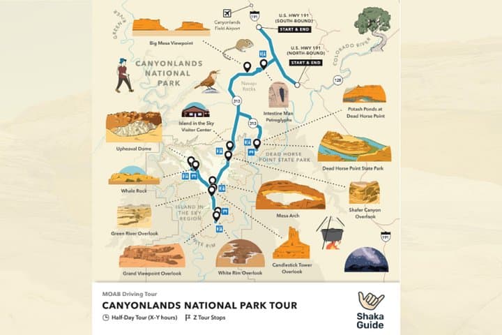
You turn onto the high mesa road and the desert opens into vast, cut rock and sky—wind chiseling layers into ridgelines that stretch to the horizon. The Shaka Guide self-guided audio driving tour for Canyonlands’ Island in the Sky arms you with GPS-triggered narration as viewpoints and short hikes appear one after another: Mesa Arch’s sunrise frame, the yawning overlook at Dead Horse Point, and the White Rim’s braided canyon below.
Verified experiences and guided adventures in the surrounding area.
Operated by Shaka Guide Apps · Moab, Utah
You turn onto the high mesa road and the desert opens into vast, cut rock and sky—wind chiseling layers into ridgelines that stretch to the horizon. The Shaka Guide self-guided audio driving tour for Canyonlands’ Island in the Sky arms you with GPS-triggered narration as viewpoints and short hikes appear one after another: Mesa Arch’s sunrise frame, the yawning overlook at Dead Horse Point, and the White Rim’s braided canyon below.
Geology here records millions of years: sandstone benches stacked and eroded by the Colorado and Green Rivers into deep, rectilinear canyons. You’ll hear about Upheaval Dome’s debated origins—impact or salt dome—and pass ancestral Puebloan granaries on Aztec Butte, reminders that people have read and used this landscape for centuries.
The audio format gives historical context, route directions, and practical tips while letting you control timing. Expect short walks across slickrock, dirt parking lots that fill early at popular stops, and pullouts where narration cues tell you what to scan for. Rangers and signage at the visitor center point out potable water and current trail conditions—important in this remote high-desert environment.
Plan for a half to full day: start early to beat crowds and heat, carry 2–3 liters of water per person, and download the app and tour over Wi‑Fi before you go. Suitable for any vehicle on paved roads, but Shafer Trail and other off‑road options require a high‑clearance 4x4. With navigation and stories in your pocket, the drive becomes both an orientation and a compact field class in Canyonlands’ natural and human history.
Yes—Canyonlands National Park entrance fee applies and is separate from the audio tour purchase.
You can stop at official pullouts and trailheads; follow posted signs and park regulations when pulling off the road.
Many overlooks and the visitor center are accessible, but some short trails (like Mesa Arch) include uneven rock surfaces—check specific stop notes in the app.
The tour and maps work fully offline once downloaded; download before entering the park to avoid interruptions.
Shaka Guide Apps operates guided outdoor trips and adventures with an emphasis on safety, stewardship, and memorable experiences.
You turn onto the high mesa road and the desert opens into vast, cut rock and sky—wind chiseling layers into ridgelines that stretch to the horizon. The Shaka Guide self-guided audio driving tour for Canyonlands’ Island in the Sky arms you with GPS-triggered narration as viewpoints and short hikes appear one after another: Mesa Arch’s sunrise frame, the yawning overlook at Dead Horse Point, and the White Rim’s braided canyon below.
You turn onto the high mesa road and the desert opens into vast, cut rock and sky—wind chiseling layers into ridgelines that stretch to the horizon. The Shaka Guide self-guided audio driving tour for Canyonlands’ Island in the Sky arms you with GPS-triggered narration as viewpoints and short hikes appear one after another: Mesa Arch’s sunrise frame, the yawning overlook at Dead Horse Point, and the White Rim’s braided canyon below.
Geology here records millions of years: sandstone benches stacked and eroded by the Colorado and Green Rivers into deep, rectilinear canyons. You’ll hear about Upheaval Dome’s debated origins—impact or salt dome—and pass ancestral Puebloan granaries on Aztec Butte, reminders that people have read and used this landscape for centuries.
The audio format gives historical context, route directions, and practical tips while letting you control timing. Expect short walks across slickrock, dirt parking lots that fill early at popular stops, and pullouts where narration cues tell you what to scan for. Rangers and signage at the visitor center point out potable water and current trail conditions—important in this remote high-desert environment.
Plan for a half to full day: start early to beat crowds and heat, carry 2–3 liters of water per person, and download the app and tour over Wi‑Fi before you go. Suitable for any vehicle on paved roads, but Shafer Trail and other off‑road options require a high‑clearance 4x4. With navigation and stories in your pocket, the drive becomes both an orientation and a compact field class in Canyonlands’ natural and human history.
