THE ADVENTURE COLLECTIVE® · Independent discovery and booking for outdoor travel

Climb above Guanajuato to Cerro de la Bufa for citywide panoramas, mining history, and ridge-line hiking. This guided 4.5-hour tour combines cultural context with manageable climbing and great viewpoints.
Climb above Guanajuato to Cerro de la Bufa for citywide panoramas, mining history, and ridge-line hiking. This guided 4.5-hour tour combines cultural context with manageable climbing and great viewpoints.
You step out of a shaded alley and the city narrows behind you—colors folding into the hillside—while the slope ahead sharpens into the real reason people climb here: Cerro de la Bufa.
Verified experiences and guided adventures in the surrounding area.
Operated by Turismo Alternativo En Guanajuato · Guanajuato, Guanajuato
You step out of a shaded alley and the city narrows behind you—colors folding into the hillside—while the slope ahead sharpens into the real reason people climb here: Cerro de la Bufa.
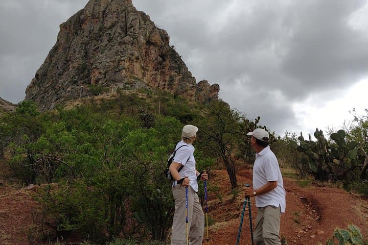
The route rises above colonial rooftops, moving from cobblestone streets to dirt switchbacks that skirt old mine workings. The air thins a little and the wind on the ridge seems to push you forward; in return it opens views into the maze of painted houses and the river that carved the valley below. Guides point out limestone outcrops, clumps of chaparral, and the scars of 18th–19th century silver mining that shaped Guanajuato’s wealth and urban form.
Cultural history is woven into the trail: miners’ paths, small chapels, and viewpoints where revolutionary-era monuments stand guard. Geologically, the hills are folded volcanic and sedimentary rock—easy to spot where loose scree gives way to compact ledge.
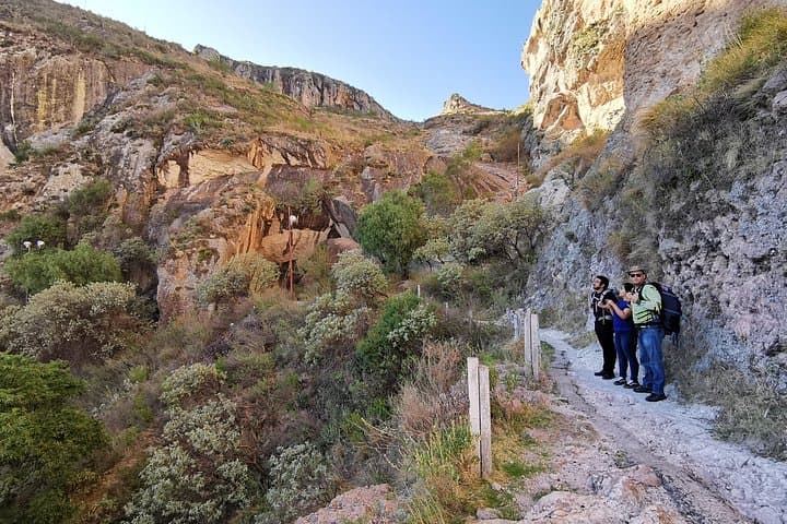
Practically, expect about 6–8 km total and roughly 300–400 m of elevation gain over 4.5 hours with stops for photos and history. Terrain alternates paved lanes, gravel trails and short rocky sections; a steady pace and a knowledgeable guide make it accessible for most fit walkers. Bring layered clothing, 1–2 liters of water, sun protection, and grippy footwear. Start early to avoid midday heat and to catch the city light, or aim for golden hour if your schedule allows. The tour includes private transport, basic PPE and snacks, and runs year-round—watch for sudden weather changes at the ridge. This hike delivers urban perspective and natural ridge-line hiking in one compact outing.
The guided outing runs about 4.5 hours, covering roughly 6–8 km with about 300–400 m of elevation gain depending on route and stops.
Yes—guides adapt the pace; beginners and older children who can walk several hours with breaks will manage it, but check with the operator about age limits for private transport.
This tour includes required permits and insurance as part of the booking—no separate park permit is typically needed for the standard route.
The experience includes a guide, private transport, basic PPE and snacks; meeting or pickup points are arranged at booking and generally within Guanajuato city.
Turismo Alternativo En Guanajuato operates guided outdoor trips and adventures with an emphasis on safety, stewardship, and memorable experiences.


You step out of a shaded alley and the city narrows behind you—colors folding into the hillside—while the slope ahead sharpens into the real reason people climb here: Cerro de la Bufa.
You step out of a shaded alley and the city narrows behind you—colors folding into the hillside—while the slope ahead sharpens into the real reason people climb here: Cerro de la Bufa.
The route rises above colonial rooftops, moving from cobblestone streets to dirt switchbacks that skirt old mine workings. The air thins a little and the wind on the ridge seems to push you forward; in return it opens views into the maze of painted houses and the river that carved the valley below. Guides point out limestone outcrops, clumps of chaparral, and the scars of 18th–19th century silver mining that shaped Guanajuato’s wealth and urban form.
Cultural history is woven into the trail: miners’ paths, small chapels, and viewpoints where revolutionary-era monuments stand guard. Geologically, the hills are folded volcanic and sedimentary rock—easy to spot where loose scree gives way to compact ledge.
Practically, expect about 6–8 km total and roughly 300–400 m of elevation gain over 4.5 hours with stops for photos and history. Terrain alternates paved lanes, gravel trails and short rocky sections; a steady pace and a knowledgeable guide make it accessible for most fit walkers. Bring layered clothing, 1–2 liters of water, sun protection, and grippy footwear. Start early to avoid midday heat and to catch the city light, or aim for golden hour if your schedule allows. The tour includes private transport, basic PPE and snacks, and runs year-round—watch for sudden weather changes at the ridge. This hike delivers urban perspective and natural ridge-line hiking in one compact outing.