THE ADVENTURE COLLECTIVE® · Independent discovery and booking for outdoor travel

Leave Guayaquil before dawn for a full‑day drive into the high Andes to visit Balbanera’s church and hike between the Hermanos Carriel and Whymper refuges on Chimborazo. Expect high altitudes, short rocky walks, and dramatic Andean panoramas.
Leave Guayaquil before dawn for a full‑day drive into the high Andes to visit Balbanera’s church and hike between the Hermanos Carriel and Whymper refuges on Chimborazo. Expect high altitudes, short rocky walks, and dramatic Andean panoramas.
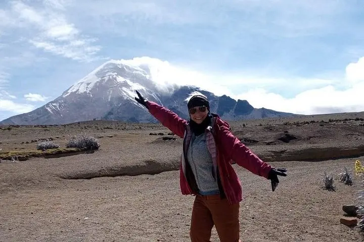
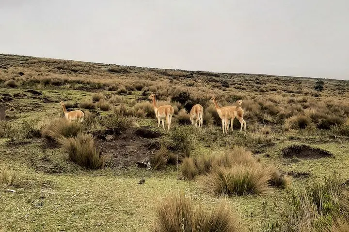
A cold dawn on the Panamerican turns the coach windows into frames for shifting páramo — low tussock grasses, grazing vicuña, and Chimborazo’s broad shoulder looming above the clouds. The day begins in Guayaquil before the road climbs into Chimborazo province; by midmorning you'll stand at Balbanera’s church with the volcano filling the sky behind a simple colonial plaza.
Verified experiences and guided adventures in the surrounding area.
Operated by Perfect Destiny · Riobamba, Chimborazo
A cold dawn on the Panamerican turns the coach windows into frames for shifting páramo — low tussock grasses, grazing vicuña, and Chimborazo’s broad shoulder looming above the clouds. The day begins in Guayaquil before the road climbs into Chimborazo province; by midmorning you'll stand at Balbanera’s church with the volcano filling the sky behind a simple colonial plaza.
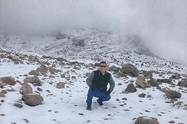
Chimborazo (6,263 m) is Ecuador’s highest peak and, due to the equatorial bulge, the point on Earth farthest from the planet’s center. The route passes volcanic moraine and high-altitude grassland shaped by Pleistocene glaciers; the Hermanos Carriel refuge sits near 4,850 m and the Whymper refuge around 5,000 m. The walk between them is short — roughly 1–2 km — with exposed gravel and loose rock and an elevation gain near 100–200 m, so thin air is the real challenge, not technical terrain.
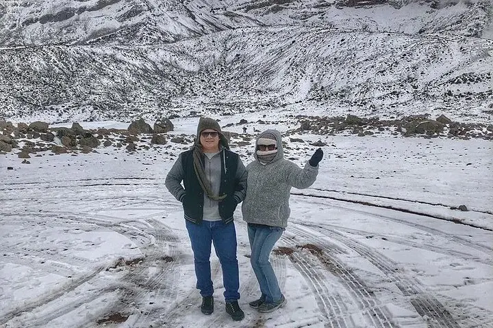
Locals in the highlands maintain small herds and host simple restaurants where traditional Andean stews anchor the lunchtime break. The reserve supports Andean camelids and páramo specialists; weather can flip from blazing sun to sleet in an hour, so layers are essential.
Practical guidance: this is a long, full‑day outing (12–15 hours including transfers). Hydrate and eat before the ascent, pace your breathing uphill, and expect limited services above 4,800 m. Footwear with good grip, sun protection, and a warm shell will keep you comfortable. Guides handle permits and logistics; listen to them on altitude pacing and return times to avoid exposure as afternoon weather builds.
The path is short and non‑technical (about 1–2 km) but sits above 4,800 m; the main difficulty is altitude rather than steep or technical terrain.
Possibly—symptoms vary; drink water, move slowly, and inform your guide if you feel nausea, headache, or dizziness so they can adjust the pace or descent.
Lunch is included per the tour details; breakfast is optional at Balbanera’s church stop depending on your schedule.
No technical or mountaineering gear is required for the refuge walk; standard high‑altitude hiking clothing and boots are sufficient.
Perfect Destiny operates guided outdoor trips and adventures with an emphasis on safety, stewardship, and memorable experiences.
A cold dawn on the Panamerican turns the coach windows into frames for shifting páramo — low tussock grasses, grazing vicuña, and Chimborazo’s broad shoulder looming above the clouds. The day begins in Guayaquil before the road climbs into Chimborazo province; by midmorning you'll stand at Balbanera’s church with the volcano filling the sky behind a simple colonial plaza.
A cold dawn on the Panamerican turns the coach windows into frames for shifting páramo — low tussock grasses, grazing vicuña, and Chimborazo’s broad shoulder looming above the clouds. The day begins in Guayaquil before the road climbs into Chimborazo province; by midmorning you'll stand at Balbanera’s church with the volcano filling the sky behind a simple colonial plaza.
Chimborazo (6,263 m) is Ecuador’s highest peak and, due to the equatorial bulge, the point on Earth farthest from the planet’s center. The route passes volcanic moraine and high-altitude grassland shaped by Pleistocene glaciers; the Hermanos Carriel refuge sits near 4,850 m and the Whymper refuge around 5,000 m. The walk between them is short — roughly 1–2 km — with exposed gravel and loose rock and an elevation gain near 100–200 m, so thin air is the real challenge, not technical terrain.
Locals in the highlands maintain small herds and host simple restaurants where traditional Andean stews anchor the lunchtime break. The reserve supports Andean camelids and páramo specialists; weather can flip from blazing sun to sleet in an hour, so layers are essential.
Practical guidance: this is a long, full‑day outing (12–15 hours including transfers). Hydrate and eat before the ascent, pace your breathing uphill, and expect limited services above 4,800 m. Footwear with good grip, sun protection, and a warm shell will keep you comfortable. Guides handle permits and logistics; listen to them on altitude pacing and return times to avoid exposure as afternoon weather builds.