THE ADVENTURE COLLECTIVE® · Independent discovery and booking for outdoor travel

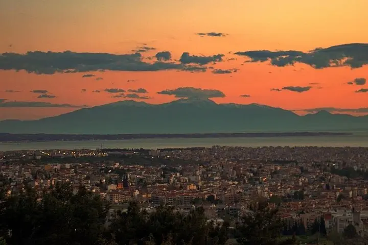
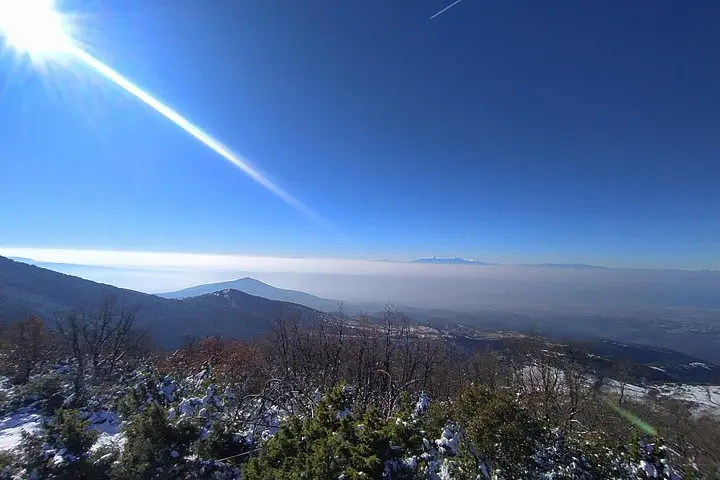
Walk the Icemakers Path on Chortiatis for a 10 km, 500 m-gain day hike with hotel pickup from Thessaloniki. Reach Kolosourtis summit for sweeping views of the Thermaic Gulf and, on clear days, Mount Olympus.
Walk the Icemakers Path on Chortiatis for a 10 km, 500 m-gain day hike with hotel pickup from Thessaloniki. Reach Kolosourtis summit for sweeping views of the Thermaic Gulf and, on clear days, Mount Olympus.
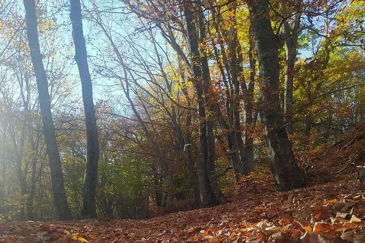
You step out of the shuttle in Chortiatis village, the city left like a low murmur behind you, and the forest climbs immediately—pine needles soft underfoot, a cool draft threading through beech and oak. The Icemakers Path begins like a story: stone steps, old storage pits, and the faint geometry of human labor carved into the mountain.
Verified experiences and guided adventures in the surrounding area.
Operated by Trail Path · Thessaloniki, Central Macedonia
You step out of the shuttle in Chortiatis village, the city left like a low murmur behind you, and the forest climbs immediately—pine needles soft underfoot, a cool draft threading through beech and oak. The Icemakers Path begins like a story: stone steps, old storage pits, and the faint geometry of human labor carved into the mountain.
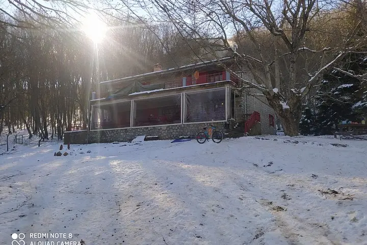
Chortiatis (Hortiatis) has long been a working landscape. In colder months villagers harvested and stored ice in cut rock chambers to sell to Thessaloniki’s households; the refuge at about 1,000 m continues that practical hospitality today. Geologically the range is part of the eastern foothills above the Thermaic Gulf, with slopes of limestone and schist that throw crisp viewpoints toward the city and, on clear days, the silhouette of Olympus.
Culture here is regional and straightforward: small mountain cafes, weekend hikers, and a refuge that opens primarily on weekends. Expect mixed forest trails, packed earth and occasional rock, steady switchbacks and a final push to Kolosourtis offering broad views across Thermaikos bay.
Practical guidance: the standard loop is roughly 10 km with about 500 m elevation gain and commonly takes 4–5 hours at a measured pace. Wear supportive boots, bring 1–2 liters of water, and plan for quick weather shifts—afternoon winds can make a sunny start feel cold at the summit. The route is suitable for hikers of varying experience because guides tailor the pace; nevertheless, carry basic first-aid, a map or phone with GPS, and a light warm layer for the top.
The route is about 10 km with approximately 500 m of elevation gain; most groups complete it in 4–5 hours. It’s rated moderate and the pace adapts to participants.
Yes—private transportation with hotel pickup is included in this tour's standard inclusions.
Yes; excursions can be customized for different fitness and experience levels, but notify guides of any limits when booking.
Bottled water and a light snack are usually included; the refuge offers coffee and additional snacks when open on weekends.
Trail Path operates guided outdoor trips and adventures with an emphasis on safety, stewardship, and memorable experiences.
You step out of the shuttle in Chortiatis village, the city left like a low murmur behind you, and the forest climbs immediately—pine needles soft underfoot, a cool draft threading through beech and oak. The Icemakers Path begins like a story: stone steps, old storage pits, and the faint geometry of human labor carved into the mountain.
You step out of the shuttle in Chortiatis village, the city left like a low murmur behind you, and the forest climbs immediately—pine needles soft underfoot, a cool draft threading through beech and oak. The Icemakers Path begins like a story: stone steps, old storage pits, and the faint geometry of human labor carved into the mountain.
Chortiatis (Hortiatis) has long been a working landscape. In colder months villagers harvested and stored ice in cut rock chambers to sell to Thessaloniki’s households; the refuge at about 1,000 m continues that practical hospitality today. Geologically the range is part of the eastern foothills above the Thermaic Gulf, with slopes of limestone and schist that throw crisp viewpoints toward the city and, on clear days, the silhouette of Olympus.
Culture here is regional and straightforward: small mountain cafes, weekend hikers, and a refuge that opens primarily on weekends. Expect mixed forest trails, packed earth and occasional rock, steady switchbacks and a final push to Kolosourtis offering broad views across Thermaikos bay.
Practical guidance: the standard loop is roughly 10 km with about 500 m elevation gain and commonly takes 4–5 hours at a measured pace. Wear supportive boots, bring 1–2 liters of water, and plan for quick weather shifts—afternoon winds can make a sunny start feel cold at the summit. The route is suitable for hikers of varying experience because guides tailor the pace; nevertheless, carry basic first-aid, a map or phone with GPS, and a light warm layer for the top.