THE ADVENTURE COLLECTIVE® · Independent discovery and booking for outdoor travel

Hit Cleveland’s streets with a self-guided Let’s Roam scavenger hunt that turns landmarks, murals and waterfront views into riddles and photo challenges. Ideal for groups, bachelorettes, or teams, this two-hour urban game mixes local history, culture and a little friendly competition.
Hit Cleveland’s streets with a self-guided Let’s Roam scavenger hunt that turns landmarks, murals and waterfront views into riddles and photo challenges. Ideal for groups, bachelorettes, or teams, this two-hour urban game mixes local history, culture and a little friendly competition.
You tap start and the city opens like a challenge map: Terminal Tower looms, the lake breeze tugs at your jacket, and the app pings the first riddle. This self-guided Let’s Roam hunt threads through downtown Cleveland — Public Square, the Playhouse District, and lakeside edges — turning civic landmarks into checkpoints and photo prompts into small dares.
Verified experiences and guided adventures in the surrounding area.
Operated by Let's Roam · Cleveland, OH
You tap start and the city opens like a challenge map: Terminal Tower looms, the lake breeze tugs at your jacket, and the app pings the first riddle. This self-guided Let’s Roam hunt threads through downtown Cleveland — Public Square, the Playhouse District, and lakeside edges — turning civic landmarks into checkpoints and photo prompts into small dares.
Cleveland’s story is visible at street level: railroad viaducts and brick warehouses from the industrial boom, the neon of theater marquees, and the waterfront that owes its shape to glacial carving and Lake Erie’s persistent edge. The route teaches quick cultural notes — why the Rock & Roll Hall of Fame matters here, how the Flats and Warehouse District moved from industry to nightlife — while the app nudges you toward local quirks, murals, and market stalls.
Expect paved sidewalks, short blocks, and urban stairs rather than wilderness trails; the adventure is sensory citycraft more than physical strain. The lake dares you to pause for a skyline photo, and the Cuyahoga River pushes you toward hidden bridges and riverside views.
Practical edge: bring a fully charged smartphone and a small power bank, wear comfortable walking shoes, and plan for 1.5–2.5 hours at an easy-but-brisk walking pace. Public transit and parking options are nearby, and the game is wheelchair-accessible on most streets, though some alleys and historic steps may be challenging. Start in daylight for best photos, and use the app’s roles to keep teammates engaged — Photographer, Brainiac, Mapper — then trade stories at a local pub when you finish.
No — this is self-guided and private; you can start anytime during daylight hours after downloading the app and redeeming your voucher.
Each booking provides the hunt and app access; you can add multiple players to a single device or invite friends to join on their devices through the game lobby.
Most downtown sidewalks and plazas are accessible, though a few alleys or historic steps may be difficult; plan the route in advance if you require full accessibility.
All sales are final — no refunds are available, so check weather and schedules before booking.
Let's Roam operates guided outdoor trips and adventures with an emphasis on safety, stewardship, and memorable experiences.
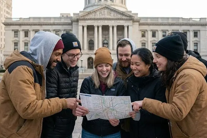



You tap start and the city opens like a challenge map: Terminal Tower looms, the lake breeze tugs at your jacket, and the app pings the first riddle. This self-guided Let’s Roam hunt threads through downtown Cleveland — Public Square, the Playhouse District, and lakeside edges — turning civic landmarks into checkpoints and photo prompts into small dares.
You tap start and the city opens like a challenge map: Terminal Tower looms, the lake breeze tugs at your jacket, and the app pings the first riddle. This self-guided Let’s Roam hunt threads through downtown Cleveland — Public Square, the Playhouse District, and lakeside edges — turning civic landmarks into checkpoints and photo prompts into small dares.
Cleveland’s story is visible at street level: railroad viaducts and brick warehouses from the industrial boom, the neon of theater marquees, and the waterfront that owes its shape to glacial carving and Lake Erie’s persistent edge. The route teaches quick cultural notes — why the Rock & Roll Hall of Fame matters here, how the Flats and Warehouse District moved from industry to nightlife — while the app nudges you toward local quirks, murals, and market stalls.
Expect paved sidewalks, short blocks, and urban stairs rather than wilderness trails; the adventure is sensory citycraft more than physical strain. The lake dares you to pause for a skyline photo, and the Cuyahoga River pushes you toward hidden bridges and riverside views.
Practical edge: bring a fully charged smartphone and a small power bank, wear comfortable walking shoes, and plan for 1.5–2.5 hours at an easy-but-brisk walking pace. Public transit and parking options are nearby, and the game is wheelchair-accessible on most streets, though some alleys and historic steps may be challenging. Start in daylight for best photos, and use the app’s roles to keep teammates engaged — Photographer, Brainiac, Mapper — then trade stories at a local pub when you finish.