THE ADVENTURE COLLECTIVE® · Independent discovery and booking for outdoor travel

Ascend Mt Mousala, the highest peak in the Balkans, on a full-day trek from Samokov. Expect alpine ridges, glacier-sculpted terrain and variable weather—choose private guiding for transfers and local insight or self-guide with a good map.
Ascend Mt Mousala, the highest peak in the Balkans, on a full-day trek from Samokov. Expect alpine ridges, glacier-sculpted terrain and variable weather—choose private guiding for transfers and local insight or self-guide with a good map.
You leave Samokov while the valley still holds its cool breath—pine-scented air, the rattle of a distant shepherd's dog, and the mountain silhouette sharpening as light climbs the ridges. The trail rises steadily: forest giving way to krummholz and then to exposed alpine scree where the summit of Musala—2925 m—dominates the skyline.
Verified experiences and guided adventures in the surrounding area.
Operated by VisitBulgariaOn Bespoke Experiences · Samokov, Sofia Province
You leave Samokov while the valley still holds its cool breath—pine-scented air, the rattle of a distant shepherd's dog, and the mountain silhouette sharpening as light climbs the ridges. The trail rises steadily: forest giving way to krummholz and then to exposed alpine scree where the summit of Musala—2925 m—dominates the skyline.
Geology here is blunt and honest: Rila is a granitic massif carved by glaciers into broad cirques and tarns. Musala’s name comes from Ottoman and Arabic roots and the range sits near cultural landmarks like the centuries-old Rila Monastery, a reminder of human history tucked at the range’s lower flanks. Local villages still keep pastoral rhythms and mountain hospitality that travelers pass through en route to the high country.
Expect varied terrain—rooted singletrack in the woods, steady switchbacks through meadows, and a final rocky approach exposed to wind. Elevation gain depends on your approach (from around 800 m up to 1,600 m); typical day itineraries run 6–8 hours. Weather can turn fast—sun, high winds, even snow outside midsummer—so plan conservative timing and leave buffer for descent.
Practically: choose the privately-guided option if you want transfer and local knowledge; self-guided if you’re experienced with navigation. Carry at least 2–3 liters of water, high-energy food, layers for wind and cold, and a basic map or GPS route. Start early, move at a steady pace, and respect fragile alpine vegetation by staying on durable surfaces. The payoff is straightforward: broad summit views over the Balkans and the clean, cold air that makes the climb feel earned.
Typical day itineraries are 6–8 hours round trip; total time depends on the chosen route and fitness level.
No—there is a self-guided option with an e-guide, but privately-guided tours provide transfers, local navigation and safety, useful in poor weather.
Late June through September offers the most stable conditions; outside that window expect snow and possible trail closures.
Facilities are limited above the tree line; lower slopes may have huts or shelters but you should be prepared to carry water and food for the day.
VisitBulgariaOn Bespoke Experiences operates guided outdoor trips and adventures with an emphasis on safety, stewardship, and memorable experiences.
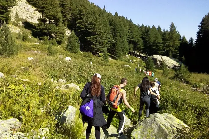
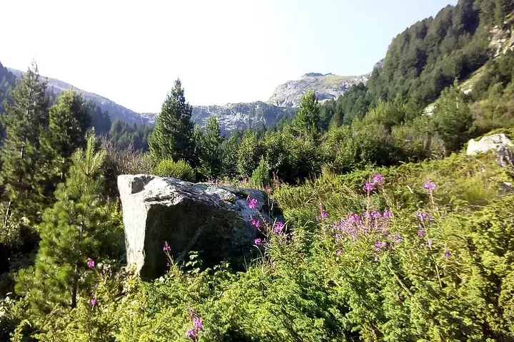
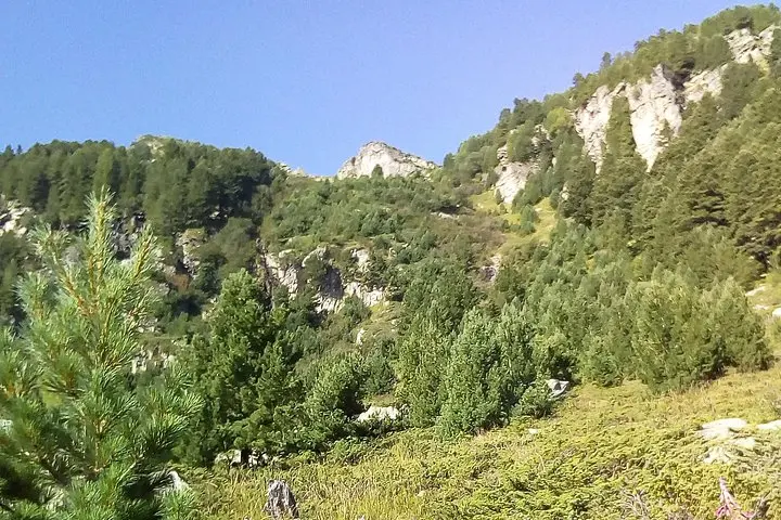
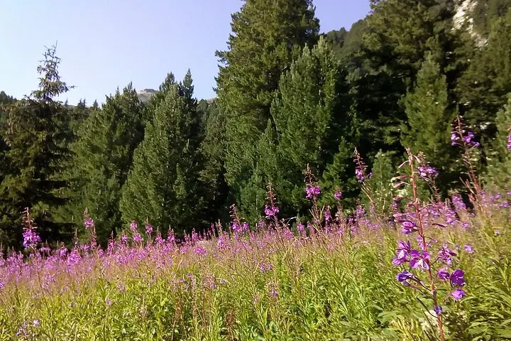
You leave Samokov while the valley still holds its cool breath—pine-scented air, the rattle of a distant shepherd's dog, and the mountain silhouette sharpening as light climbs the ridges. The trail rises steadily: forest giving way to krummholz and then to exposed alpine scree where the summit of Musala—2925 m—dominates the skyline.
You leave Samokov while the valley still holds its cool breath—pine-scented air, the rattle of a distant shepherd's dog, and the mountain silhouette sharpening as light climbs the ridges. The trail rises steadily: forest giving way to krummholz and then to exposed alpine scree where the summit of Musala—2925 m—dominates the skyline.
Geology here is blunt and honest: Rila is a granitic massif carved by glaciers into broad cirques and tarns. Musala’s name comes from Ottoman and Arabic roots and the range sits near cultural landmarks like the centuries-old Rila Monastery, a reminder of human history tucked at the range’s lower flanks. Local villages still keep pastoral rhythms and mountain hospitality that travelers pass through en route to the high country.
Expect varied terrain—rooted singletrack in the woods, steady switchbacks through meadows, and a final rocky approach exposed to wind. Elevation gain depends on your approach (from around 800 m up to 1,600 m); typical day itineraries run 6–8 hours. Weather can turn fast—sun, high winds, even snow outside midsummer—so plan conservative timing and leave buffer for descent.
Practically: choose the privately-guided option if you want transfer and local knowledge; self-guided if you’re experienced with navigation. Carry at least 2–3 liters of water, high-energy food, layers for wind and cold, and a basic map or GPS route. Start early, move at a steady pace, and respect fragile alpine vegetation by staying on durable surfaces. The payoff is straightforward: broad summit views over the Balkans and the clean, cold air that makes the climb feel earned.