THE ADVENTURE COLLECTIVE® · Independent discovery and booking for outdoor travel

Climb an active volcano on a private guided hike from Guatemala City. Walk over recent lava flows, see glowing vents up close, and take panoramic views of Acatenango, Fuego and Agua.
Climb an active volcano on a private guided hike from Guatemala City. Walk over recent lava flows, see glowing vents up close, and take panoramic views of Acatenango, Fuego and Agua.
Dawn breaks over blackened fields as the road climbs from Guatemala City toward San Vicente Pacaya. By the time you step out of the van the air smells of ash and warm stone; the volcano seems to breathe, a low, steady presence that guides your steps. The trail rises over hardened lava flows, through scrub and low pine, opening onto terraces where the smoking cone imprints its politics of heat over the horizon.
Verified experiences and guided adventures in the surrounding area.
Operated by Guat2do Travel Experiences · San Vicente Pacaya, Escuintla
Dawn breaks over blackened fields as the road climbs from Guatemala City toward San Vicente Pacaya. By the time you step out of the van the air smells of ash and warm stone; the volcano seems to breathe, a low, steady presence that guides your steps. The trail rises over hardened lava flows, through scrub and low pine, opening onto terraces where the smoking cone imprints its politics of heat over the horizon.
Geologically, Pacaya is one of Guatemala’s most active volcanoes, erupting regularly since the mid-20th century and reshaping the landscape with fresh pahoehoe and ʻaʻā flows. Culturally, the area is small-town Guatemala—farm plots, roadside vendors selling tortillas, and guides rooted in local traditions and safety practices. On clear days, Acatenango, Fuego and Agua stand like guardians across the valley, and the ash-streaked sky offers dramatic contrast to bright tropical vegetation.
Expect a steady 1.5-hour uphill with occasional loose volcanic scree; terrain is a mix of packed dirt, volcanic sand and jagged lava fields near the cone. Guides lead to safe observation points where the ground still glows in places—approach with care and follow their instructions closely.
Practical guidance: start early to avoid midday heat, carry 1–2 liters of water, wear grippy hiking boots and sunscreen, and bring a wind layer—the higher elevation can be surprisingly cool. Respect restricted zones around hot vents, pack out trash, and if you’re traveling from Antigua or Guatemala City plan for roughly 1–1.5 hours each way by vehicle.
The trail is rated moderate: about 1.5 hours uphill over volcanic scree and packed dirt; basic fitness and sure footing required.
Guides will take you to safe observation points where cooled lava and glowing vents can be seen; do not cross safety barriers or approach active vents.
Yes—private transportation from Guatemala City is included; many travelers also arrange pickup from Antigua with similar travel times.
Children should be accompanied by an adult and guided operators advise against participation for pregnant travelers or those with serious back/heart conditions.
Guat2do Travel Experiences operates guided outdoor trips and adventures with an emphasis on safety, stewardship, and memorable experiences.
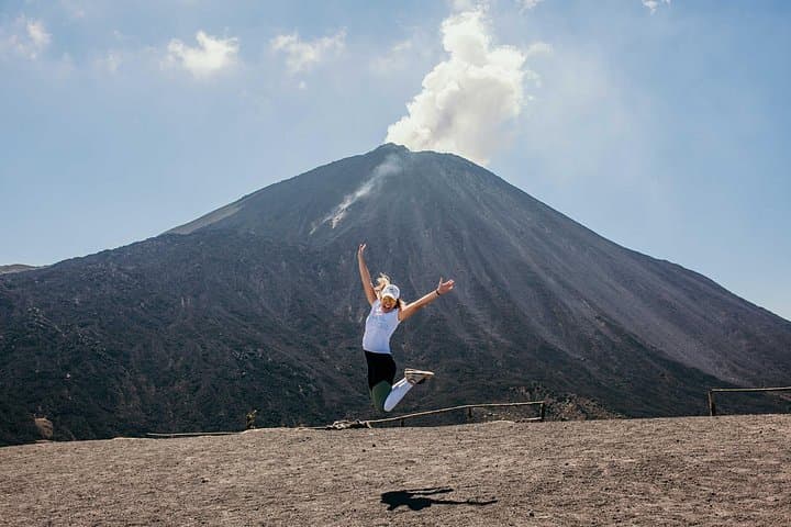
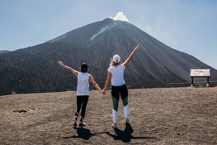
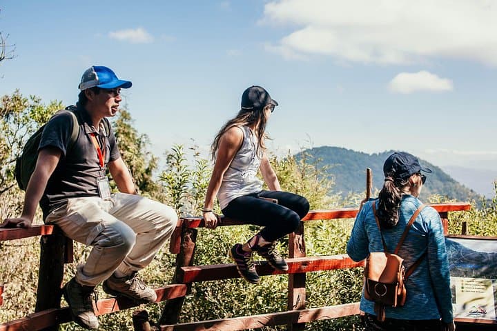
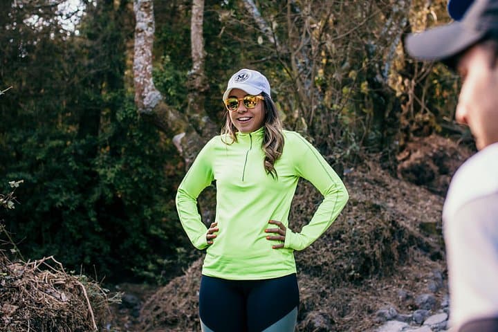
Dawn breaks over blackened fields as the road climbs from Guatemala City toward San Vicente Pacaya. By the time you step out of the van the air smells of ash and warm stone; the volcano seems to breathe, a low, steady presence that guides your steps. The trail rises over hardened lava flows, through scrub and low pine, opening onto terraces where the smoking cone imprints its politics of heat over the horizon.
Dawn breaks over blackened fields as the road climbs from Guatemala City toward San Vicente Pacaya. By the time you step out of the van the air smells of ash and warm stone; the volcano seems to breathe, a low, steady presence that guides your steps. The trail rises over hardened lava flows, through scrub and low pine, opening onto terraces where the smoking cone imprints its politics of heat over the horizon.
Geologically, Pacaya is one of Guatemala’s most active volcanoes, erupting regularly since the mid-20th century and reshaping the landscape with fresh pahoehoe and ʻaʻā flows. Culturally, the area is small-town Guatemala—farm plots, roadside vendors selling tortillas, and guides rooted in local traditions and safety practices. On clear days, Acatenango, Fuego and Agua stand like guardians across the valley, and the ash-streaked sky offers dramatic contrast to bright tropical vegetation.
Expect a steady 1.5-hour uphill with occasional loose volcanic scree; terrain is a mix of packed dirt, volcanic sand and jagged lava fields near the cone. Guides lead to safe observation points where the ground still glows in places—approach with care and follow their instructions closely.
Practical guidance: start early to avoid midday heat, carry 1–2 liters of water, wear grippy hiking boots and sunscreen, and bring a wind layer—the higher elevation can be surprisingly cool. Respect restricted zones around hot vents, pack out trash, and if you’re traveling from Antigua or Guatemala City plan for roughly 1–1.5 hours each way by vehicle.