THE ADVENTURE COLLECTIVE® · Independent discovery and booking for outdoor travel

Ascend Akrafjall for a full-day private trek to Geirmundartindur: 15 km, 720 m gain and guided orienteering instruction. Expect exposed ridgelines, glacier-shaped gullies and expansive views from Faxaflói Bay to Snæfellsjökull.
Ascend Akrafjall for a full-day private trek to Geirmundartindur: 15 km, 720 m gain and guided orienteering instruction. Expect exposed ridgelines, glacier-shaped gullies and expansive views from Faxaflói Bay to Snæfellsjökull.
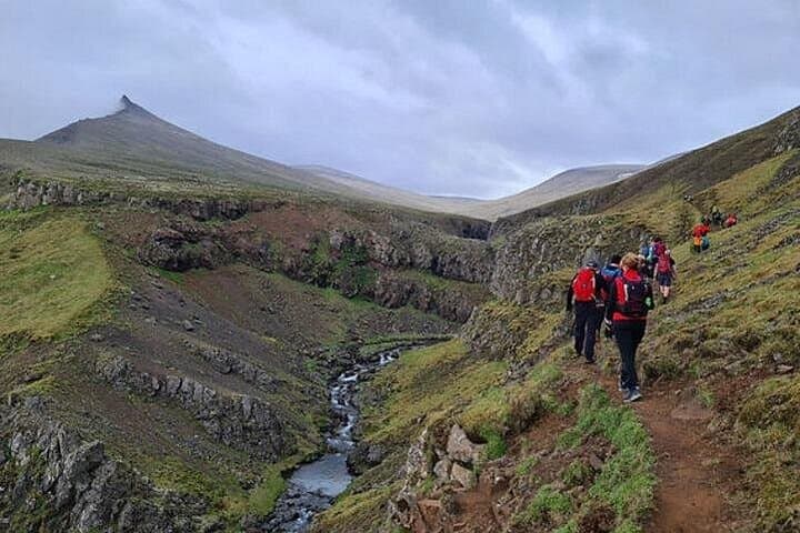
Fog clings to the low cliffs as you set off from the foot of Akrafjall, the wind shaping the grass into low waves. The trail climbs steadily, shifting from coastal heath to exposed basalt ridgeline, and the mountain seems to test each step as you move higher.
Verified experiences and guided adventures in the surrounding area.
Operated by Hikers of Iceland · Akranes, Vesturland
Fog clings to the low cliffs as you set off from the foot of Akrafjall, the wind shaping the grass into low waves. The trail climbs steadily, shifting from coastal heath to exposed basalt ridgeline, and the mountain seems to test each step as you move higher.
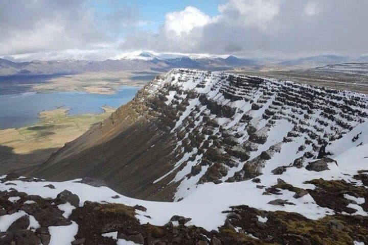
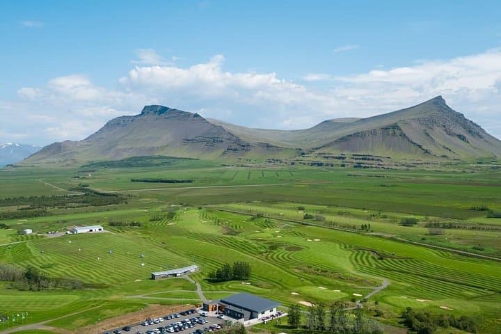
Akrafjall, just outside Akranes on Iceland’s west coast, is a landscape carved by Ice Age glaciers; steep gullies and polished rock tell a geologic story of ice and fire. Local lore adds a human layer: the troll Joka who, according to legend, once moved a mountain and became petrified—an origin tale visitors still hear before the ascent. From Geirmundartindur (643 m) the view sweeps from Faxaflói Bay across Reykjanes to Snæfellsjökull, showing the relationship between volcanic highlands and coastal plains.
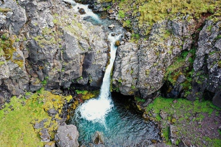
The route is roughly 15 km with about 720 m of elevation gain over varied terrain: wet grass, scree slopes and solid lava rock. This guided day trek includes hands-on orienteering—compass work, altimeter use and interpreting natural landmarks—so participants walk away with navigation skills as well as scenery. Expect rapidly changing weather; layers, waterproofs and sturdy boots are non-negotiable. Carry 1.5–2 liters of water and plan for 6–7 hours including breaks. Start early to avoid afternoon winds and to make the most of low-angle light for photography. Groups are kept small (up to eight) and minimum age is 16; expect a focused, practical mountain experience that rewards effort with solitude, secret waterfalls and wide west-coast panoramas.
The route is rated moderate: expect sustained uphill sections and exposed terrain; a reasonably fit hiker who can handle 6–7 hours on uneven ground will be comfortable.
No—guides provide orienteering instruction, but basic map and compass familiarity helps on steeper or exposed stretches.
Participants must be at least 16 years old; groups are kept small (up to eight) for a personalized experience.
Layer clothing, bring a waterproof shell, secure footwear and be prepared for wind, rain and sudden temperature shifts; start early to avoid afternoon weather deterioration.
Hikers of Iceland operates guided outdoor trips and adventures with an emphasis on safety, stewardship, and memorable experiences.
Fog clings to the low cliffs as you set off from the foot of Akrafjall, the wind shaping the grass into low waves. The trail climbs steadily, shifting from coastal heath to exposed basalt ridgeline, and the mountain seems to test each step as you move higher.
Fog clings to the low cliffs as you set off from the foot of Akrafjall, the wind shaping the grass into low waves. The trail climbs steadily, shifting from coastal heath to exposed basalt ridgeline, and the mountain seems to test each step as you move higher.
Akrafjall, just outside Akranes on Iceland’s west coast, is a landscape carved by Ice Age glaciers; steep gullies and polished rock tell a geologic story of ice and fire. Local lore adds a human layer: the troll Joka who, according to legend, once moved a mountain and became petrified—an origin tale visitors still hear before the ascent. From Geirmundartindur (643 m) the view sweeps from Faxaflói Bay across Reykjanes to Snæfellsjökull, showing the relationship between volcanic highlands and coastal plains.
The route is roughly 15 km with about 720 m of elevation gain over varied terrain: wet grass, scree slopes and solid lava rock. This guided day trek includes hands-on orienteering—compass work, altimeter use and interpreting natural landmarks—so participants walk away with navigation skills as well as scenery. Expect rapidly changing weather; layers, waterproofs and sturdy boots are non-negotiable. Carry 1.5–2 liters of water and plan for 6–7 hours including breaks. Start early to avoid afternoon winds and to make the most of low-angle light for photography. Groups are kept small (up to eight) and minimum age is 16; expect a focused, practical mountain experience that rewards effort with solitude, secret waterfalls and wide west-coast panoramas.