THE ADVENTURE COLLECTIVE® · Independent discovery and booking for outdoor travel

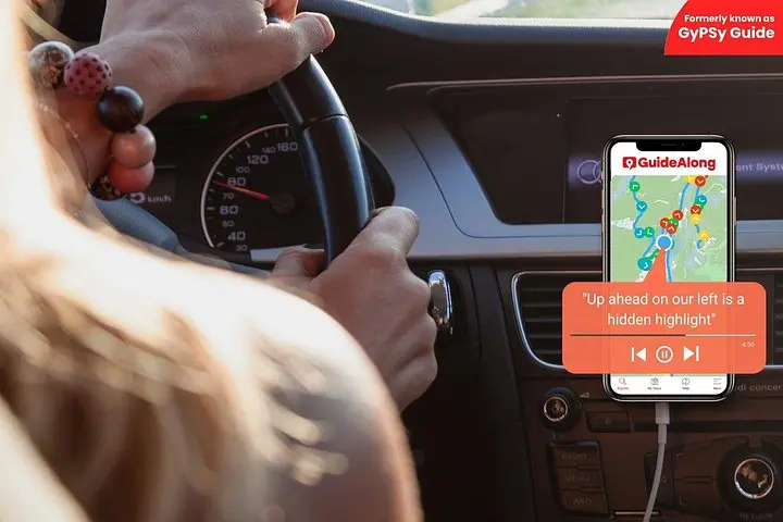
Drive the Creole Nature Trail with a GPS-triggered audio guide that narrates wetlands, wildlife and Cajun culture as you go. Download before you leave and plan for short stops at boardwalks, refuges and the Cameron Ferry.
Drive the Creole Nature Trail with a GPS-triggered audio guide that narrates wetlands, wildlife and Cajun culture as you go. Download before you leave and plan for short stops at boardwalks, refuges and the Cameron Ferry.
You pull off Highway 27 and the road thins into a ribbon alongside marsh that seems to breathe — reeds leaning and tidewater daring you to come closer. The Creole Nature Trail stretches for roughly 180 miles of scenic loop through Cameron Parish: low, salt-scrubbed flats, boardwalks that push into black water, and sudden wide views of the Gulf where sand, surf and horizon meet.
Verified experiences and guided adventures in the surrounding area.
Operated by GuideAlong (GyPSy Guide) · Cameron, Louisiana
You pull off Highway 27 and the road thins into a ribbon alongside marsh that seems to breathe — reeds leaning and tidewater daring you to come closer. The Creole Nature Trail stretches for roughly 180 miles of scenic loop through Cameron Parish: low, salt-scrubbed flats, boardwalks that push into black water, and sudden wide views of the Gulf where sand, surf and horizon meet.
This drive follows routes used by Cajun fishermen and coastal travelers for generations. Geologically the trail sits on deltaic sediments from the Mississippi and local rivers; the landscape is low-lying and forged by tides, storms and the slow retreat of the shoreline. Cultural notes come in the form of small fishing camps, roadside shrimp shacks and the resilient communities rebuilt after powerful hurricanes.
Expect to watch mottled alligators sun themselves on marsh edges, and flocks of shorebirds pivoting with the tide. The Cameron Ferry crosses the Calcasieu Ship Channel — a brief, free detour that feels like a pause in a nature film. Elevation is essentially sea level; terrain is driving and short walks on flat boardwalks and beach access.
Practical edge: download the GuideAlong audio tour before leaving cell service, carry a car charger, and plan around tides and migration windows for best wildlife viewing. Drive slowly on back roads; wildlife and local traffic share narrow lanes. The tour is flexible — take a two- to three-hour loop or stretch it into a multi-day pace with beach time at Holly Beach and boardwalk walks at Sabine and Cameron Prairie refuges.
No — you must download the GuideAlong app and the specific Creole Nature Trail tour over Wi‑Fi or cellular before you leave; the audio plays using your phone’s GPS offline.
The full scenic loop is roughly 180 miles; many visitors choose shorter loops of 2–3 hours or spread the route over a day or more with stops.
Most roads are paved and accessible, but some back roads and parking areas at refuges are narrow — drive cautiously and verify clearance for very large RVs.
Facilities are limited outside towns; plan fuel, food and restroom stops in Cameron or Lake Charles and carry water and snacks for long stretches.
GuideAlong (GyPSy Guide) operates guided outdoor trips and adventures with an emphasis on safety, stewardship, and memorable experiences.
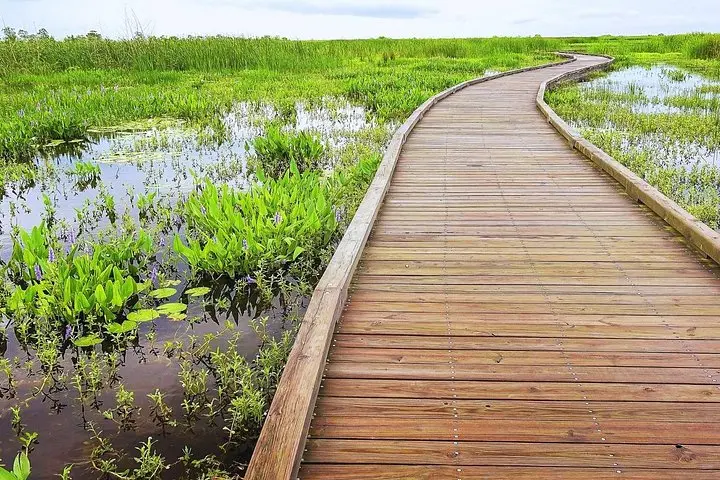
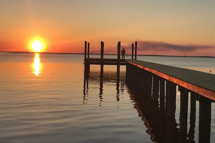
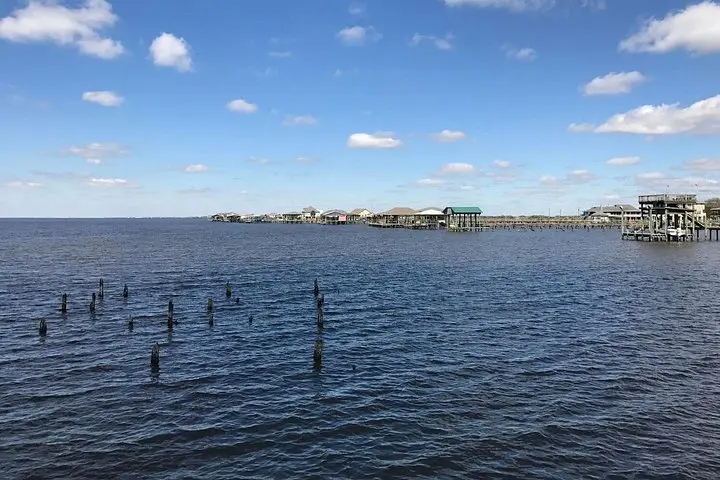
You pull off Highway 27 and the road thins into a ribbon alongside marsh that seems to breathe — reeds leaning and tidewater daring you to come closer. The Creole Nature Trail stretches for roughly 180 miles of scenic loop through Cameron Parish: low, salt-scrubbed flats, boardwalks that push into black water, and sudden wide views of the Gulf where sand, surf and horizon meet.
You pull off Highway 27 and the road thins into a ribbon alongside marsh that seems to breathe — reeds leaning and tidewater daring you to come closer. The Creole Nature Trail stretches for roughly 180 miles of scenic loop through Cameron Parish: low, salt-scrubbed flats, boardwalks that push into black water, and sudden wide views of the Gulf where sand, surf and horizon meet.
This drive follows routes used by Cajun fishermen and coastal travelers for generations. Geologically the trail sits on deltaic sediments from the Mississippi and local rivers; the landscape is low-lying and forged by tides, storms and the slow retreat of the shoreline. Cultural notes come in the form of small fishing camps, roadside shrimp shacks and the resilient communities rebuilt after powerful hurricanes.
Expect to watch mottled alligators sun themselves on marsh edges, and flocks of shorebirds pivoting with the tide. The Cameron Ferry crosses the Calcasieu Ship Channel — a brief, free detour that feels like a pause in a nature film. Elevation is essentially sea level; terrain is driving and short walks on flat boardwalks and beach access.
Practical edge: download the GuideAlong audio tour before leaving cell service, carry a car charger, and plan around tides and migration windows for best wildlife viewing. Drive slowly on back roads; wildlife and local traffic share narrow lanes. The tour is flexible — take a two- to three-hour loop or stretch it into a multi-day pace with beach time at Holly Beach and boardwalk walks at Sabine and Cameron Prairie refuges.