THE ADVENTURE COLLECTIVE® · Independent discovery and booking for outdoor travel

Catch sunrise above a sea of clouds on a 4–5 km early-morning trek from Da Lat. This guided hike climbs to a 30-minute summit push with panoramic views, hot coffee, and photo-ready vistas of lakes and pine hills.
Catch sunrise above a sea of clouds on a 4–5 km early-morning trek from Da Lat. This guided hike climbs to a 30-minute summit push with panoramic views, hot coffee, and photo-ready vistas of lakes and pine hills.
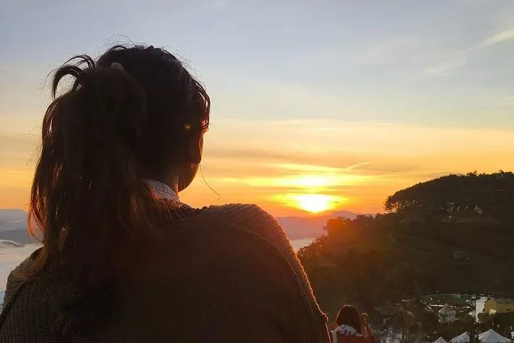
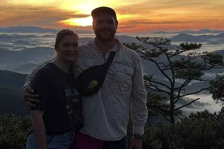
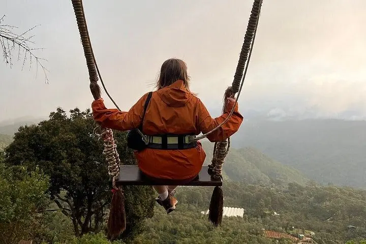
Before dawn the highland air is a cool hand on the face and the trail feels alive — a pale lantern of headlamps threading through pine trunks while the valley below simmers with cloud. As you climb the final 30 minutes to the summit the sky lightens and the clouds begin to roll, daring you to reach a clearing in time. When the sun breaks, it appears above a sea of mist, revealing lakes, terraced farms and the serrated edge of Da Lat’s highlands.
Verified experiences and guided adventures in the surrounding area.
Operated by Charm Tourist · Da Lat, Lam Dong
Before dawn the highland air is a cool hand on the face and the trail feels alive — a pale lantern of headlamps threading through pine trunks while the valley below simmers with cloud. As you climb the final 30 minutes to the summit the sky lightens and the clouds begin to roll, daring you to reach a clearing in time. When the sun breaks, it appears above a sea of mist, revealing lakes, terraced farms and the serrated edge of Da Lat’s highlands.
Da Lat sits on the volcanic rim of Vietnam’s Central Highlands; pine plantations and French-era villas mark a landscape shaped by basalt soils and cool mountain weather. Local K’Ho and other ethnic groups have long tied the ridgelines to myths; today small farms and coffee plots sprawl across the valleys. Geologically, the peaks are older volcanic flows weathered into rounded ridges, which make for stable, well-drained hiking trails.
Practically: plan a pre-dawn pickup, carry layers and a headlamp, and expect 4–5 km of walking with a short steep push to the viewpoint. Trails alternate packed dirt, roots and rocky switchbacks — good hiking shoes and steady knees help. Guides provide breakfast, hot coffee and basic trekking poles; they also know the best photo frames and how cloud layers behave here. Start early to avoid crowds, keep group sizes small to protect fragile upland soils, and bring a charged phone plus a compact rain shell — weather shifts quickly in the highlands. Follow Leave No Trace, listen to your guide, and let the clouds pull you forward.
Yes — the tour includes hotel pickup and drop-off in Da Lat as stated in the inclusions.
Participants should have a moderate fitness level; the hike covers 4–5 km with a short steep climb to the summit.
Guides provide a light breakfast (instant noodles, cookies) and hot drinks such as coffee or tea, plus bottled water as noted in the inclusions.
Children may join depending on fitness, but the tour is not recommended for pregnant travelers or those with serious spinal or cardiovascular problems.
Charm Tourist operates guided outdoor trips and adventures with an emphasis on safety, stewardship, and memorable experiences.

Before dawn the highland air is a cool hand on the face and the trail feels alive — a pale lantern of headlamps threading through pine trunks while the valley below simmers with cloud. As you climb the final 30 minutes to the summit the sky lightens and the clouds begin to roll, daring you to reach a clearing in time. When the sun breaks, it appears above a sea of mist, revealing lakes, terraced farms and the serrated edge of Da Lat’s highlands.
Before dawn the highland air is a cool hand on the face and the trail feels alive — a pale lantern of headlamps threading through pine trunks while the valley below simmers with cloud. As you climb the final 30 minutes to the summit the sky lightens and the clouds begin to roll, daring you to reach a clearing in time. When the sun breaks, it appears above a sea of mist, revealing lakes, terraced farms and the serrated edge of Da Lat’s highlands.
Da Lat sits on the volcanic rim of Vietnam’s Central Highlands; pine plantations and French-era villas mark a landscape shaped by basalt soils and cool mountain weather. Local K’Ho and other ethnic groups have long tied the ridgelines to myths; today small farms and coffee plots sprawl across the valleys. Geologically, the peaks are older volcanic flows weathered into rounded ridges, which make for stable, well-drained hiking trails.
Practically: plan a pre-dawn pickup, carry layers and a headlamp, and expect 4–5 km of walking with a short steep push to the viewpoint. Trails alternate packed dirt, roots and rocky switchbacks — good hiking shoes and steady knees help. Guides provide breakfast, hot coffee and basic trekking poles; they also know the best photo frames and how cloud layers behave here. Start early to avoid crowds, keep group sizes small to protect fragile upland soils, and bring a charged phone plus a compact rain shell — weather shifts quickly in the highlands. Follow Leave No Trace, listen to your guide, and let the clouds pull you forward.