THE ADVENTURE COLLECTIVE® · Independent discovery and booking for outdoor travel

A high-altitude day hike from Cusco to the sky-blue Laguna Humantay, set beneath the Vilcabamba ridgeline. Steep but short, this excursion rewards acclimatized hikers with bright glacial water and close views of Humantay and Salkantay.
A high-altitude day hike from Cusco to the sky-blue Laguna Humantay, set beneath the Vilcabamba ridgeline. Steep but short, this excursion rewards acclimatized hikers with bright glacial water and close views of Humantay and Salkantay.
You start before dawn on a winding road out of Cusco; the bus nose-lights carve through Andean air as villages slip past and the mountain horizon hardens into silhouette. By the time you step at Soraypampa (≈3,900 m) the sky has brightened and the trail climbs immediately—open slopes, short switchbacks and stone scree that test lungs acclimatized to high altitude.
Verified experiences and guided adventures in the surrounding area.
Operated by MACHU PICCHU POR BUS · Soraypampa, Cusco
You start before dawn on a winding road out of Cusco; the bus nose-lights carve through Andean air as villages slip past and the mountain horizon hardens into silhouette. By the time you step at Soraypampa (≈3,900 m) the sky has brightened and the trail climbs immediately—open slopes, short switchbacks and stone scree that test lungs acclimatized to high altitude.
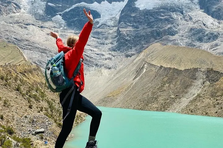
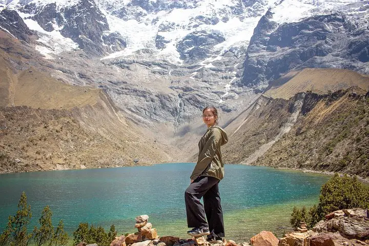
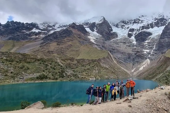
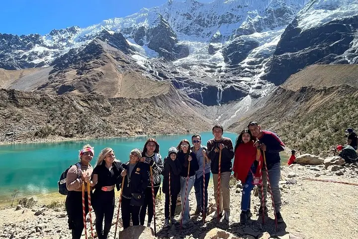
The lake itself sits at about 4,200 m, fed by glacial runoff from Humantay (≈5,450 m) and set below the Vilcabamba ridgeline. Geologically it’s a moraine-dammed basin—water pooled where ancient ice left its debris—and its turquoise color comes from finely ground rock flour suspended in meltwater. The route follows old mule tracks past puna grass and shrubs; local Quechua communities have long regarded the surrounding peaks as apus, sacred guardians that shaped travel and ritual here.
Expect a steep 1–1.6 km ascent (≈300–400 m gain) from Soraypampa to the lookout—short but demanding at altitude. The trail surface alternates packed dirt, loose stones and occasional stair-like rock; crampons aren’t necessary in dry months but traction matters. Guides usually provide a short cultural orientation and lead the return via the Salkantay road viewpoint, so photography, short exploration and a packed lunch are part of the day.
Practical edge: move slowly on the climb, hydrate well, and wear layered clothing for solar exposure and cold. Plan for 10–13 hours door-to-door from Cusco; altitude acclimatization in the preceding 24–72 hours makes the difference between a memorable summit view and forced rest.
The uphill segment is short—about 1–1.6 km each way—with roughly 300–400 m of elevation gain; plan for 45–90 minutes ascending depending on pace and acclimatization.
Not recommended for pregnant travelers or people with significant heart or severe respiratory conditions due to the high altitude and exertion.
Access is managed and most visitors go with licensed local operators who include permits and entrance fees; solo visits are possible but logistics and transport are more complicated.
Descend immediately to lower elevation, rest, hydrate, and seek medical help if symptoms worsen; many operators carry oxygen and are trained to respond to severe cases.
MACHU PICCHU POR BUS operates guided outdoor trips and adventures with an emphasis on safety, stewardship, and memorable experiences.
You start before dawn on a winding road out of Cusco; the bus nose-lights carve through Andean air as villages slip past and the mountain horizon hardens into silhouette. By the time you step at Soraypampa (≈3,900 m) the sky has brightened and the trail climbs immediately—open slopes, short switchbacks and stone scree that test lungs acclimatized to high altitude.
You start before dawn on a winding road out of Cusco; the bus nose-lights carve through Andean air as villages slip past and the mountain horizon hardens into silhouette. By the time you step at Soraypampa (≈3,900 m) the sky has brightened and the trail climbs immediately—open slopes, short switchbacks and stone scree that test lungs acclimatized to high altitude.
The lake itself sits at about 4,200 m, fed by glacial runoff from Humantay (≈5,450 m) and set below the Vilcabamba ridgeline. Geologically it’s a moraine-dammed basin—water pooled where ancient ice left its debris—and its turquoise color comes from finely ground rock flour suspended in meltwater. The route follows old mule tracks past puna grass and shrubs; local Quechua communities have long regarded the surrounding peaks as apus, sacred guardians that shaped travel and ritual here.
Expect a steep 1–1.6 km ascent (≈300–400 m gain) from Soraypampa to the lookout—short but demanding at altitude. The trail surface alternates packed dirt, loose stones and occasional stair-like rock; crampons aren’t necessary in dry months but traction matters. Guides usually provide a short cultural orientation and lead the return via the Salkantay road viewpoint, so photography, short exploration and a packed lunch are part of the day.
Practical edge: move slowly on the climb, hydrate well, and wear layered clothing for solar exposure and cold. Plan for 10–13 hours door-to-door from Cusco; altitude acclimatization in the preceding 24–72 hours makes the difference between a memorable summit view and forced rest.