THE ADVENTURE COLLECTIVE® · Independent discovery and booking for outdoor travel

Seven days of high-altitude driving from Lhasa to Rongbuk, crossing 5,000+m passes and sleeping near Everest’s northern flank. This self-drive expedition combines monastery visits, lake and glacier viewpoints, and sunrise at the Everest viewpoint.
Seven days of high-altitude driving from Lhasa to Rongbuk, crossing 5,000+m passes and sleeping near Everest’s northern flank. This self-drive expedition combines monastery visits, lake and glacier viewpoints, and sunrise at the Everest viewpoint.
Dust lifts off the asphalt as a convoy peels away from Lhasa at dawn, engines steady against thin air. The road climbs—Gangbala and Gyatso La pushes vehicles and senses upward—until the horizon is dominated by a white ridge that seems to hold the sky. Travelers walk to the Rongbuk viewpoint before sunrise, watching Everest catch the first cold light while prayer flags snap like small flags of warning and welcome.
Verified experiences and guided adventures in the surrounding area.
Operated by VTribe · Lhasa, Tibet Autonomous Region
Dust lifts off the asphalt as a convoy peels away from Lhasa at dawn, engines steady against thin air. The road climbs—Gangbala and Gyatso La pushes vehicles and senses upward—until the horizon is dominated by a white ridge that seems to hold the sky. Travelers walk to the Rongbuk viewpoint before sunrise, watching Everest catch the first cold light while prayer flags snap like small flags of warning and welcome.
This route follows portions of China National Highway G318 and tracks into the Everest National Nature Reserve. Geologically the drive traverses high plateau basins, glacial moraines and carved river canyons fed by the Yarlung Tsangpo; culturally it threads through centuries-old Tibetan towns, monasteries like Tashilhunpo, Drepung and the Jokhang, and caravan routes once used for salt and wool trade. Expect basic guesthouse lodging near Rongbuk and comfortable hotels in Lhasa and Shigatse.
Practically: altitude is the defining factor—daily driving covers 300–450 km on mixed paved and rough shoulder roads, with several passes above 5,000 m. Pace the drive, carry extra oxygen and an oximeter (provided on tour), and plan photo stops for acclimatization. Footwear should handle short walks on scree and frozen mud. Early starts avoid afternoon winds and permit clear views at high passes.
The itinerary pairs spiritual stops with glacier overlooks and options for a canyon off-road section along the Yarlung Tsangpo. For drivers the trip is as much about vehicle management in thin air as it is about the mountain: ride steady, check brakes, and let the landscape—unyielding, patient—set the tempo.
Yes — a Tibet Travel Permit and border passes are required; the tour operator handles processing for the group.
Most of the route uses G318 paved highway, but sections and the final approach include high-altitude gravel, scree and rough shoulders—4WD is recommended in off-road sections.
No formal requirement, but participants should be acclimatized and understand altitude sickness risks; the itinerary includes measures and medical oxygen on vehicles.
Rongbuk guesthouse offers dormitory-style rooms with basic heat and shared facilities; city nights are in 3–4 star hotels in Lhasa and Shigatse.
VTribe operates guided outdoor trips and adventures with an emphasis on safety, stewardship, and memorable experiences.
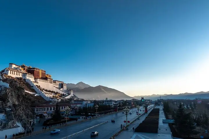
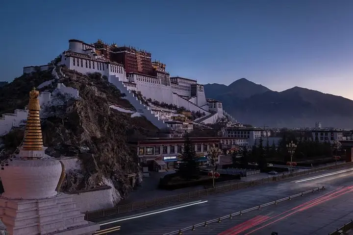
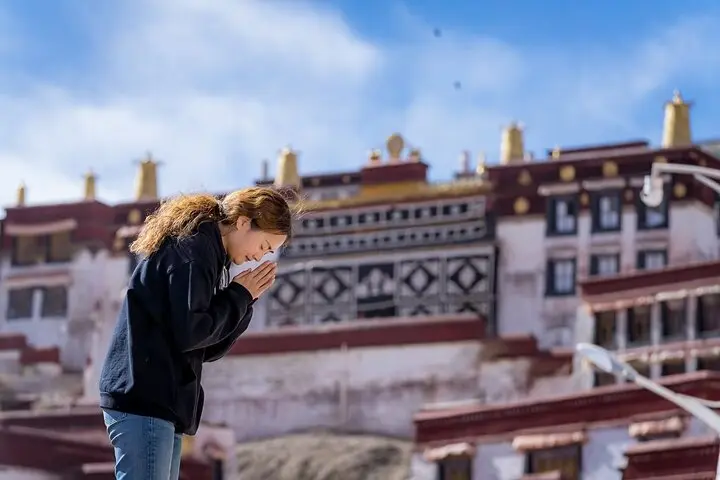
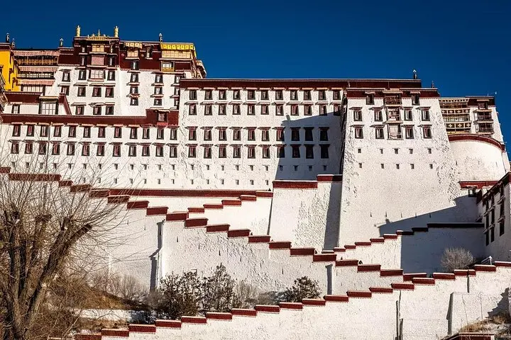
Dust lifts off the asphalt as a convoy peels away from Lhasa at dawn, engines steady against thin air. The road climbs—Gangbala and Gyatso La pushes vehicles and senses upward—until the horizon is dominated by a white ridge that seems to hold the sky. Travelers walk to the Rongbuk viewpoint before sunrise, watching Everest catch the first cold light while prayer flags snap like small flags of warning and welcome.
Dust lifts off the asphalt as a convoy peels away from Lhasa at dawn, engines steady against thin air. The road climbs—Gangbala and Gyatso La pushes vehicles and senses upward—until the horizon is dominated by a white ridge that seems to hold the sky. Travelers walk to the Rongbuk viewpoint before sunrise, watching Everest catch the first cold light while prayer flags snap like small flags of warning and welcome.
This route follows portions of China National Highway G318 and tracks into the Everest National Nature Reserve. Geologically the drive traverses high plateau basins, glacial moraines and carved river canyons fed by the Yarlung Tsangpo; culturally it threads through centuries-old Tibetan towns, monasteries like Tashilhunpo, Drepung and the Jokhang, and caravan routes once used for salt and wool trade. Expect basic guesthouse lodging near Rongbuk and comfortable hotels in Lhasa and Shigatse.
Practically: altitude is the defining factor—daily driving covers 300–450 km on mixed paved and rough shoulder roads, with several passes above 5,000 m. Pace the drive, carry extra oxygen and an oximeter (provided on tour), and plan photo stops for acclimatization. Footwear should handle short walks on scree and frozen mud. Early starts avoid afternoon winds and permit clear views at high passes.
The itinerary pairs spiritual stops with glacier overlooks and options for a canyon off-road section along the Yarlung Tsangpo. For drivers the trip is as much about vehicle management in thin air as it is about the mountain: ride steady, check brakes, and let the landscape—unyielding, patient—set the tempo.