THE ADVENTURE COLLECTIVE® · Independent discovery and booking for outdoor travel

Walk a two-mile interpretive loop around Rigden Reservoir and along the Cache la Poudre to explore Arapaho history, homestead ruins, and riverside habitat. This guided tour mixes natural history with local stories for an easy, informative outdoor outing.
Walk a two-mile interpretive loop around Rigden Reservoir and along the Cache la Poudre to explore Arapaho history, homestead ruins, and riverside habitat. This guided tour mixes natural history with local stories for an easy, informative outdoor outing.
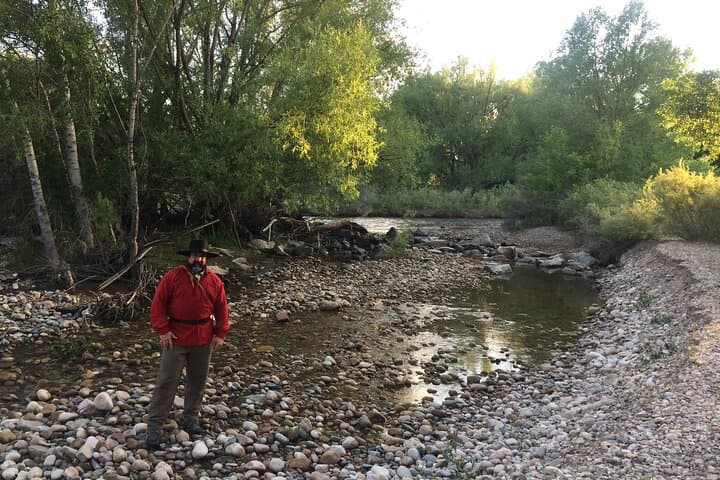
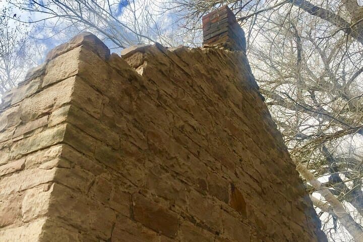
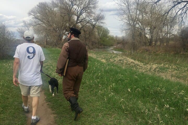
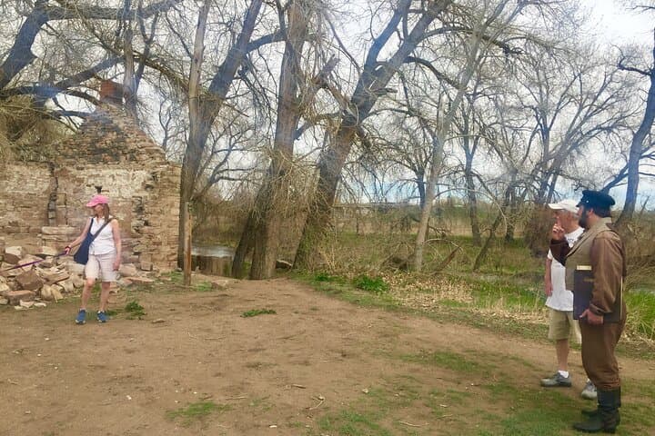
A late-morning sun threads through cottonwoods as the Cache la Poudre tugs at the earth, urging you along a low berm toward Rigden Reservoir. The path is wide enough for conversation; birds punctuate the story with sharp calls. You move from open water to scrub willow and short grass, pausing at cabin ruins where timbers slope toward the soil like a slow bow.
Verified experiences and guided adventures in the surrounding area.
Operated by Traces of the Past History Tours · Fort Collins, Colorado
A late-morning sun threads through cottonwoods as the Cache la Poudre tugs at the earth, urging you along a low berm toward Rigden Reservoir. The path is wide enough for conversation; birds punctuate the story with sharp calls. You move from open water to scrub willow and short grass, pausing at cabin ruins where timbers slope toward the soil like a slow bow.
This stretch of the Poudre carries human stories layered over older geology: an alluvial plain shaped by seasonal floods and underlain with looser sediment rather than bedrock. The river guided Arapaho travel and later Major Stephen H. Long’s 1820 expedition noted the channel on early maps; by the 1830s it had earned the name Cache la Poudre. On this two-mile loop the guide connects those colonial-era maps with local homesteads, the Strauss Cabin ruins, the Arapahoe Council Tree site, and the historic Sherwood property, showing how water dictated settlement and travel corridors across the plains.
Practically, the route is straightforward—mostly flat, packed dirt and short grass—with short, interpretive stops. Expect riparian plants up-close, seasonal wildflowers in spring, and wide skies that moderate mountain storms quickly. Bring sun protection and a refillable bottle; footwear can be trail runners rather than heavy boots. Early morning or late afternoon walks avoid heat and increase bird activity. The tour is interpretive and accessible to most walkers with moderate fitness, and it’s a compact way to connect natural history with human stories along the East Poudre.
The guided tour is approximately two hours and covers about two miles round-trip, with three interpretive stops.
Yes—most participants are families or older adults with moderate mobility; notify the operator of special needs when booking.
Service animals are permitted; for other pets check with the operator and local area rules before bringing a dog.
The tour starts at the Arapaho Bend Reservoir parking lot (4109 East Horsetooth Road) where public parking is available; follow booking instructions for the exact meeting point.
Traces of the Past History Tours operates guided outdoor trips and adventures with an emphasis on safety, stewardship, and memorable experiences.
A late-morning sun threads through cottonwoods as the Cache la Poudre tugs at the earth, urging you along a low berm toward Rigden Reservoir. The path is wide enough for conversation; birds punctuate the story with sharp calls. You move from open water to scrub willow and short grass, pausing at cabin ruins where timbers slope toward the soil like a slow bow.
A late-morning sun threads through cottonwoods as the Cache la Poudre tugs at the earth, urging you along a low berm toward Rigden Reservoir. The path is wide enough for conversation; birds punctuate the story with sharp calls. You move from open water to scrub willow and short grass, pausing at cabin ruins where timbers slope toward the soil like a slow bow.
This stretch of the Poudre carries human stories layered over older geology: an alluvial plain shaped by seasonal floods and underlain with looser sediment rather than bedrock. The river guided Arapaho travel and later Major Stephen H. Long’s 1820 expedition noted the channel on early maps; by the 1830s it had earned the name Cache la Poudre. On this two-mile loop the guide connects those colonial-era maps with local homesteads, the Strauss Cabin ruins, the Arapahoe Council Tree site, and the historic Sherwood property, showing how water dictated settlement and travel corridors across the plains.
Practically, the route is straightforward—mostly flat, packed dirt and short grass—with short, interpretive stops. Expect riparian plants up-close, seasonal wildflowers in spring, and wide skies that moderate mountain storms quickly. Bring sun protection and a refillable bottle; footwear can be trail runners rather than heavy boots. Early morning or late afternoon walks avoid heat and increase bird activity. The tour is interpretive and accessible to most walkers with moderate fitness, and it’s a compact way to connect natural history with human stories along the East Poudre.