THE ADVENTURE COLLECTIVE® · Independent discovery and booking for outdoor travel

Walk a 5 km loop out to Erris Head and back with a local guide—sea-sliced cliffs, a WW2 lookout and nesting fulmars frame a landscape shaped over a billion years. Expect muddy boardwalks, short climbs and panoramic Atlantic views.
Walk a 5 km loop out to Erris Head and back with a local guide—sea-sliced cliffs, a WW2 lookout and nesting fulmars frame a landscape shaped over a billion years. Expect muddy boardwalks, short climbs and panoramic Atlantic views.
A raw Atlantic wind meets you on the headland, salt stinging your face as the path climbs over a sheep-proof stile and opens onto cliff-top panoramas. The guided Erris Head walk threads along grassy ridges and boardwalks, with the ocean loud on both sides and granite stacks—the Stags of Broadhaven—standing dark and ancient on the horizon.
Verified experiences and guided adventures in the surrounding area.
Operated by Neal Doherty - AlchemyTours.ie · Belmullet, County Mayo
A raw Atlantic wind meets you on the headland, salt stinging your face as the path climbs over a sheep-proof stile and opens onto cliff-top panoramas. The guided Erris Head walk threads along grassy ridges and boardwalks, with the ocean loud on both sides and granite stacks—the Stags of Broadhaven—standing dark and ancient on the horizon.
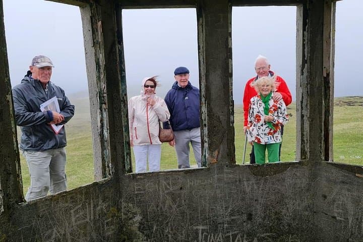
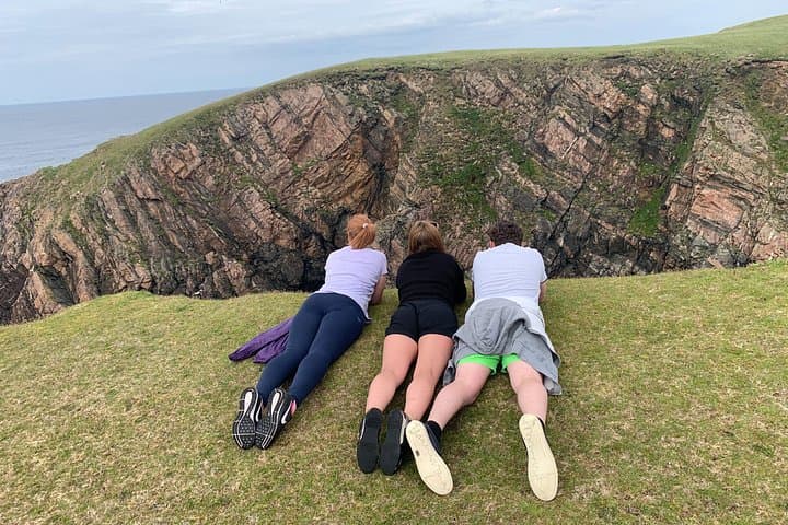
Geology here is blunt and old: the Stags date to roughly 1.6 billion years, carved by ice and sea. Cultural traces sit within the landscape—a wartime coast-watcher’s lookout, the Eire 69 sign and a trig pillar where watchers once scanned the Battle of the Atlantic. Local shepherding remains visible; lambs graze and the ram’s seasonal struggle is part of the island rhythm. Fulmars nest on the cliff faces and fulmar calls ride the gusts.
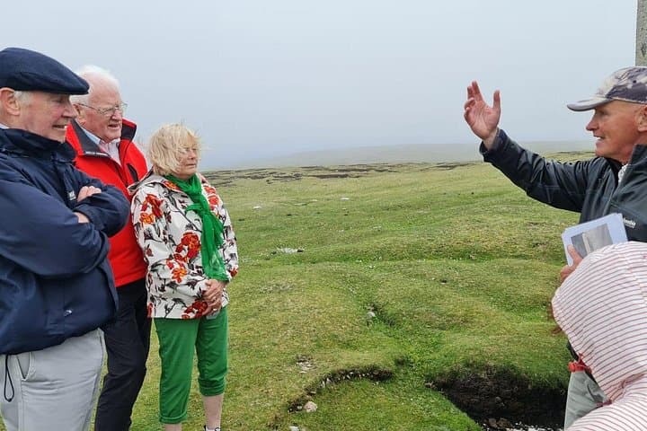
Practically, the loop is about 5 km and usually takes 2–2.5 hours on this guided route. Expect short steep pitches, muddy sections crossed by boardwalks and exposed ridgelines where wind accelerates. Photographers will find dramatic angles; guides pause at the blowhole and WW2 post for history and safety notes. Wear sturdy, waterproof boots, a windproof layer and bring 1 L of water and a waterproof for camera gear.
Timing your walk for the calmest light and lower wind in the morning or late afternoon improves comfort and photos. The tour suits someone with moderate fitness; the path is uneven but well-marked. Respect grazing stock, follow the guide’s direction at cliff edges and leave no trace—this is a rugged place that rewards attention.
The guided loop is about 5 km and typically takes 2–2.5 hours, including stops for viewpoints and historical sites.
Children with good stamina can manage the route when supervised; service animals are allowed but regular pets should be kept under control near cliffs and livestock.
Weather is changeable—expect strong winds and frequent sea spray; check local forecasts and the guide will adjust plans if conditions are unsafe.
There are no facilities on the headland—use services in the nearby village or Belmullet before the walk.
Neal Doherty - AlchemyTours.ie operates guided outdoor trips and adventures with an emphasis on safety, stewardship, and memorable experiences.
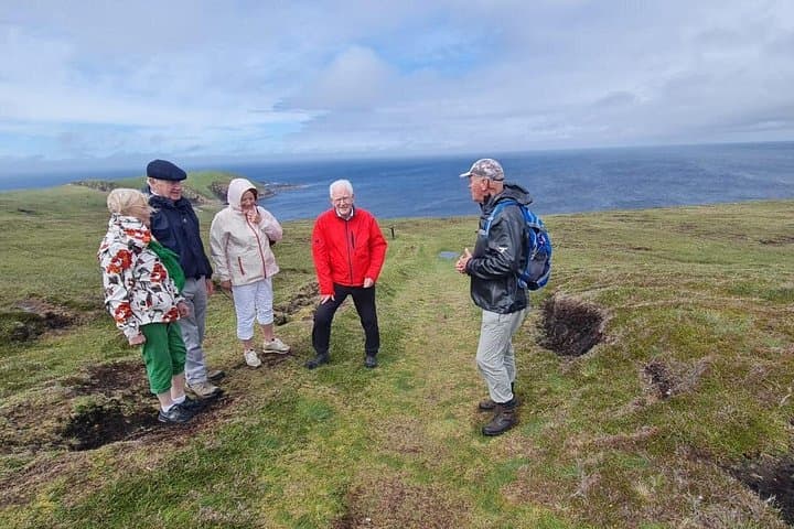
A raw Atlantic wind meets you on the headland, salt stinging your face as the path climbs over a sheep-proof stile and opens onto cliff-top panoramas. The guided Erris Head walk threads along grassy ridges and boardwalks, with the ocean loud on both sides and granite stacks—the Stags of Broadhaven—standing dark and ancient on the horizon.
A raw Atlantic wind meets you on the headland, salt stinging your face as the path climbs over a sheep-proof stile and opens onto cliff-top panoramas. The guided Erris Head walk threads along grassy ridges and boardwalks, with the ocean loud on both sides and granite stacks—the Stags of Broadhaven—standing dark and ancient on the horizon.
Geology here is blunt and old: the Stags date to roughly 1.6 billion years, carved by ice and sea. Cultural traces sit within the landscape—a wartime coast-watcher’s lookout, the Eire 69 sign and a trig pillar where watchers once scanned the Battle of the Atlantic. Local shepherding remains visible; lambs graze and the ram’s seasonal struggle is part of the island rhythm. Fulmars nest on the cliff faces and fulmar calls ride the gusts.
Practically, the loop is about 5 km and usually takes 2–2.5 hours on this guided route. Expect short steep pitches, muddy sections crossed by boardwalks and exposed ridgelines where wind accelerates. Photographers will find dramatic angles; guides pause at the blowhole and WW2 post for history and safety notes. Wear sturdy, waterproof boots, a windproof layer and bring 1 L of water and a waterproof for camera gear.
Timing your walk for the calmest light and lower wind in the morning or late afternoon improves comfort and photos. The tour suits someone with moderate fitness; the path is uneven but well-marked. Respect grazing stock, follow the guide’s direction at cliff edges and leave no trace—this is a rugged place that rewards attention.