THE ADVENTURE COLLECTIVE® · Independent discovery and booking for outdoor travel

A strenuous single-day ascent to Fansipan—Indochina’s highest peak—this 10–12 hour trek climbs from Tram Ton Pass to 3,143 m through bamboo forest, streams and alpine ridgelines. Expect steep, sustained hiking and panoramic summit views; a cable car option exists for descent.
A strenuous single-day ascent to Fansipan—Indochina’s highest peak—this 10–12 hour trek climbs from Tram Ton Pass to 3,143 m through bamboo forest, streams and alpine ridgelines. Expect steep, sustained hiking and panoramic summit views; a cable car option exists for descent.
Dawn at Tram Ton Pass is a hard, cold sharpening of senses: prayer flags snap in a thin wind, a guide checks boots, and the trail drops into bamboo before climbing into old-growth forest. Over the next 10–12 hours you will push from about 2,000 m to 3,143 m—Indochina’s roof—through mossy trunks, tumbling streams and ridgelines that begin to clear into sweeping views of Sapa and the border ranges.
Verified experiences and guided adventures in the surrounding area.
Operated by Sapa Original Trek · Sapa, Lào Cai
Dawn at Tram Ton Pass is a hard, cold sharpening of senses: prayer flags snap in a thin wind, a guide checks boots, and the trail drops into bamboo before climbing into old-growth forest. Over the next 10–12 hours you will push from about 2,000 m to 3,143 m—Indochina’s roof—through mossy trunks, tumbling streams and ridgelines that begin to clear into sweeping views of Sapa and the border ranges.
Fansipan’s geology is a story of uplifted metamorphic rock sculpted by monsoon-fed erosion; culturally the mountain sits within territory long walked by Hmong and Dao communities who still harvest highland herbs and tend upland fields. The trail crosses layered habitats—subtropical bamboo, montane broadleaf, then sparse alpine shrubs—so the day feels like moving through several ecological zones. Guides commonly carry certificates and familiarity with local microclimates, which helps on a route that becomes steep and exposed above 2,800 m.
Practical guidance: start very early from Tram Ton Pass (approx. 2,000 m), expect 12 km one-way terrain with ~1,600–1,700 m elevation gain, and plan for 10–12 hours round trip unless you take the cable car down. Bring layered clothing for rapid temperature swings, at least 2–3 liters of water, high-traction boots and trekking poles for steep sections. Acclimatize in Sapa the day before if possible and choose a reputable guide; weather can turn fast and hypothermia risk rises above 2,800 m. If you want photographic light, aim to summit for sunrise but allow flexibility: descent times vary by speed and weather.
Yes—the standard one-day route from Tram Ton Pass to the summit is possible for experienced, fit hikers and normally takes 10–12 hours round trip.
A guide is strongly recommended for safety, local knowledge, and to navigate changing weather; local operators provide English-speaking guides and insurance.
Most hikers return on foot the same route; there is a cable car service available from near the summit area for a paid descent if conditions or fatigue make hiking back risky.
Clear, stable weather typically occurs in late fall (September–November) and spring (March–May); avoid the monsoon months when trails are slippery and visibility poor.
Sapa Original Trek operates guided outdoor trips and adventures with an emphasis on safety, stewardship, and memorable experiences.
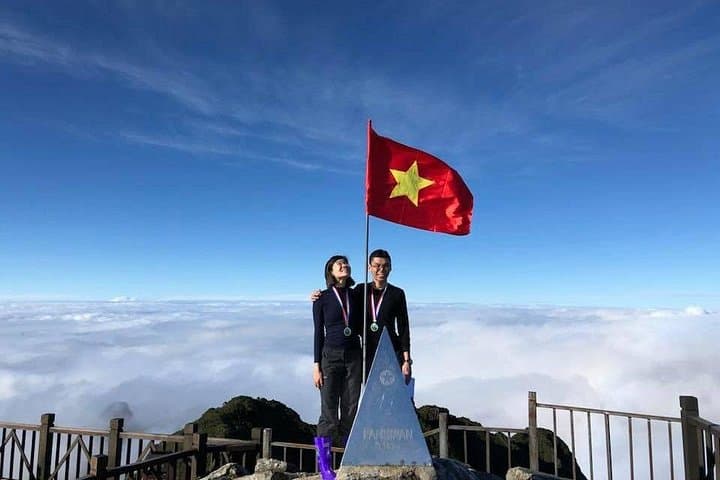
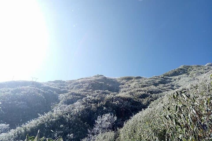
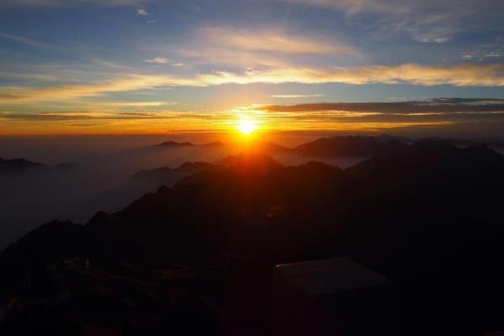
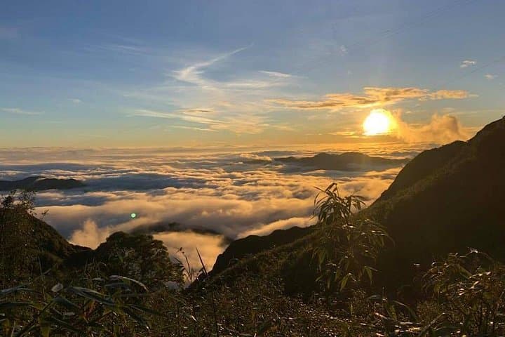
Dawn at Tram Ton Pass is a hard, cold sharpening of senses: prayer flags snap in a thin wind, a guide checks boots, and the trail drops into bamboo before climbing into old-growth forest. Over the next 10–12 hours you will push from about 2,000 m to 3,143 m—Indochina’s roof—through mossy trunks, tumbling streams and ridgelines that begin to clear into sweeping views of Sapa and the border ranges.
Dawn at Tram Ton Pass is a hard, cold sharpening of senses: prayer flags snap in a thin wind, a guide checks boots, and the trail drops into bamboo before climbing into old-growth forest. Over the next 10–12 hours you will push from about 2,000 m to 3,143 m—Indochina’s roof—through mossy trunks, tumbling streams and ridgelines that begin to clear into sweeping views of Sapa and the border ranges.
Fansipan’s geology is a story of uplifted metamorphic rock sculpted by monsoon-fed erosion; culturally the mountain sits within territory long walked by Hmong and Dao communities who still harvest highland herbs and tend upland fields. The trail crosses layered habitats—subtropical bamboo, montane broadleaf, then sparse alpine shrubs—so the day feels like moving through several ecological zones. Guides commonly carry certificates and familiarity with local microclimates, which helps on a route that becomes steep and exposed above 2,800 m.
Practical guidance: start very early from Tram Ton Pass (approx. 2,000 m), expect 12 km one-way terrain with ~1,600–1,700 m elevation gain, and plan for 10–12 hours round trip unless you take the cable car down. Bring layered clothing for rapid temperature swings, at least 2–3 liters of water, high-traction boots and trekking poles for steep sections. Acclimatize in Sapa the day before if possible and choose a reputable guide; weather can turn fast and hypothermia risk rises above 2,800 m. If you want photographic light, aim to summit for sunrise but allow flexibility: descent times vary by speed and weather.