THE ADVENTURE COLLECTIVE® · Independent discovery and booking for outdoor travel

Stand beneath Cotopaxi’s imposing cone on a full-day tour that mixes short high-altitude hikes, wildlife viewing at Limpiopungo Lagoon, and a close-up look at the José Ribas Refuge. Practical route notes and altitude guidance help you prepare for an accessible yet Alpine experience.
Stand beneath Cotopaxi’s imposing cone on a full-day tour that mixes short high-altitude hikes, wildlife viewing at Limpiopungo Lagoon, and a close-up look at the José Ribas Refuge. Practical route notes and altitude guidance help you prepare for an accessible yet Alpine experience.
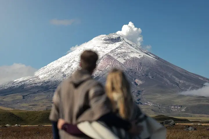
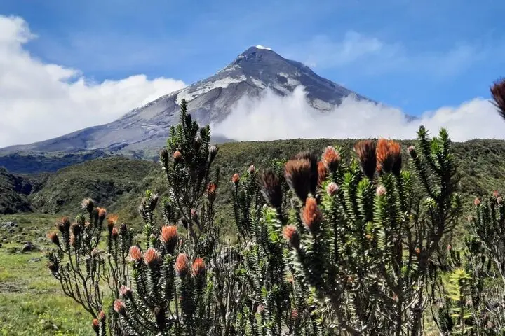
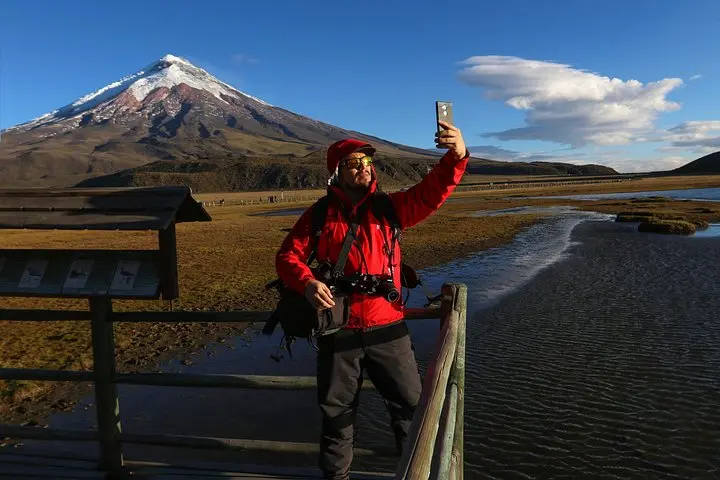
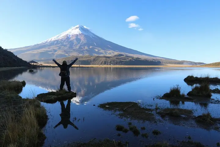
Highland wind pushes across the Avenue of the Volcanoes as the minibus drops visitors at the edge of Cotopaxi National Park. The first sight is the cone of Cotopaxi, snow-capped and severe, its lower slopes mottled with lava fields and paramo grass. Visitors follow a light trail to the José Ribas Refuge, gaining footholds on volcanic scree while the summit watches above; around Limpiopungo Lagoon the water rings with birds and reflects the peaks like a glass held by the mountain.
Verified experiences and guided adventures in the surrounding area.
Operated by LimaTours · Quito, Pichincha
Highland wind pushes across the Avenue of the Volcanoes as the minibus drops visitors at the edge of Cotopaxi National Park. The first sight is the cone of Cotopaxi, snow-capped and severe, its lower slopes mottled with lava fields and paramo grass. Visitors follow a light trail to the José Ribas Refuge, gaining footholds on volcanic scree while the summit watches above; around Limpiopungo Lagoon the water rings with birds and reflects the peaks like a glass held by the mountain.
Cotopaxi sits on the northern Andes where Pleistocene and Holocene eruptions shaped the ash layers and glaciers that feed local rivers. The park has long been part of Andean culture—pastoralist communities tend livestock on the páramo and local guides share stories of sacred peaks. Geology students will notice volcanic hummocks and recent lava flows while birders track Andean goose and caracara along the lagoon.
On a practical level, expect an eight‑hour day with driving from Quito along the Avenue of the Volcanoes, short hikes at altitude up to roughly 4,800 m to the refuge, and flat walking around Limpiopungo. Weather changes fast; sun, wind, and sudden fog are typical. Bring water, layers, sun protection, and sturdy shoes; move deliberately to acclimatize and avoid exertion the first morning. Guides will brief on altitude and wildlife etiquette. Photography windows open with clear skies at first light or late afternoon; otherwise plan for muted light. The route is family‑friendly for those with moderate fitness but requires respect for high‑altitude conditions.
The uphill section to the refuge from the nearest vehicle access is a short but steep walk of roughly 30–60 minutes depending on pace and acclimatization.
Families with children who are used to elevation can join, but watch for altitude symptoms and consult the operator before booking for very young children or infants.
Visibility depends on weather—clear mornings and late afternoons offer the best summit views; fog and cloud can obscure it at times.
Confirm with the operator; this itinerary notes pickup, drop-off and guide but entrance fees may be separate depending on the booking source.
LimaTours operates guided outdoor trips and adventures with an emphasis on safety, stewardship, and memorable experiences.
Highland wind pushes across the Avenue of the Volcanoes as the minibus drops visitors at the edge of Cotopaxi National Park. The first sight is the cone of Cotopaxi, snow-capped and severe, its lower slopes mottled with lava fields and paramo grass. Visitors follow a light trail to the José Ribas Refuge, gaining footholds on volcanic scree while the summit watches above; around Limpiopungo Lagoon the water rings with birds and reflects the peaks like a glass held by the mountain.
Highland wind pushes across the Avenue of the Volcanoes as the minibus drops visitors at the edge of Cotopaxi National Park. The first sight is the cone of Cotopaxi, snow-capped and severe, its lower slopes mottled with lava fields and paramo grass. Visitors follow a light trail to the José Ribas Refuge, gaining footholds on volcanic scree while the summit watches above; around Limpiopungo Lagoon the water rings with birds and reflects the peaks like a glass held by the mountain.
Cotopaxi sits on the northern Andes where Pleistocene and Holocene eruptions shaped the ash layers and glaciers that feed local rivers. The park has long been part of Andean culture—pastoralist communities tend livestock on the páramo and local guides share stories of sacred peaks. Geology students will notice volcanic hummocks and recent lava flows while birders track Andean goose and caracara along the lagoon.
On a practical level, expect an eight‑hour day with driving from Quito along the Avenue of the Volcanoes, short hikes at altitude up to roughly 4,800 m to the refuge, and flat walking around Limpiopungo. Weather changes fast; sun, wind, and sudden fog are typical. Bring water, layers, sun protection, and sturdy shoes; move deliberately to acclimatize and avoid exertion the first morning. Guides will brief on altitude and wildlife etiquette. Photography windows open with clear skies at first light or late afternoon; otherwise plan for muted light. The route is family‑friendly for those with moderate fitness but requires respect for high‑altitude conditions.