THE ADVENTURE COLLECTIVE® · Independent discovery and booking for outdoor travel

A full-day trip from Quito that combines a reflective walk around Limpiopungo lagoon with a steep ascent to José Rivas Refuge on Cotopaxi’s slopes. Expect high-altitude terrain, panoramic crater views, and practical, weather-smart hiking.
A full-day trip from Quito that combines a reflective walk around Limpiopungo lagoon with a steep ascent to José Rivas Refuge on Cotopaxi’s slopes. Expect high-altitude terrain, panoramic crater views, and practical, weather-smart hiking.
You step out of the van into thin, bright air — a cold wind immediately tests your jacket and the cone of Cotopaxi looms like a powdered peak against a pale sky. The trail from the parking lot climbs across ochre volcanic scree and open páramo grasslands; Limpiopungo’s glassy lagoon mirrors the volcano when the light is calm, and higher up the path tightens toward José Rivas Refuge at 4,864 m.
Verified experiences and guided adventures in the surrounding area.
Operated by Best Trip Ecuador · Quito, Pichincha
You step out of the van into thin, bright air — a cold wind immediately tests your jacket and the cone of Cotopaxi looms like a powdered peak against a pale sky. The trail from the parking lot climbs across ochre volcanic scree and open páramo grasslands; Limpiopungo’s glassy lagoon mirrors the volcano when the light is calm, and higher up the path tightens toward José Rivas Refuge at 4,864 m.
Cotopaxi has been an important landmark for indigenous peoples and colonists alike; its symmetric cone—5,897 m high—records repeated eruptions and glacial sculpting. The park sits on volcanic soils and high-elevation paramo, where cushion plants and hardy grasses dominate and condors wheel on thermal lifts. The Interpretation Center at the Caspi entrance provides context on eruption history, local climbing traditions, and the park’s role in Andean culture.
Expect a mix of terrain: compacted service roads, rocky paths, short scree fields, and damp boggy sections near the lagoon. From the parking area to José Rivas is commonly a one-hour, steep walk (roughly 2–3 km with 300–500 m of ascent) at altitude, so breathing is harder than on flat trails. Wildlife sightings—Andean fox, wild páramo birds, and condors—are possible in the quieter hours.
Practical tips: dress in layers, drink frequently for altitude, and plan for sudden weather change—sun, wind, and drizzle can arrive in the same hour. Guides typically provide transport, park entrances, and bilingual interpretation; carry your passport if you want a stamp at the refuge. Start early from Quito to maximize clear views and avoid afternoon cloud build-up.
About one hour of steady uphill walking, roughly 2–3 km with 300–500 m elevation gain depending on the exact parking spot.
Not recommended for infants, pregnant travelers, or those with serious heart or spinal conditions; children should be monitored closely due to altitude.
Visibility depends on weather—clear mornings often give views of the crater; afternoon clouds frequently obscure the summit, so early starts improve chances.
The tour includes transport, bilingual guide and park entrances; check the operator’s inclusions for whether lunch or other meals are provided.
Best Trip Ecuador operates guided outdoor trips and adventures with an emphasis on safety, stewardship, and memorable experiences.
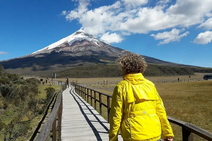
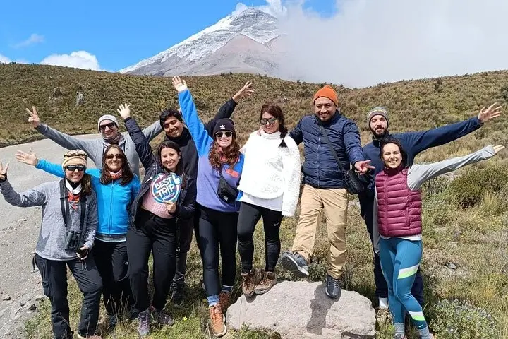
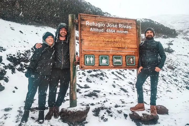
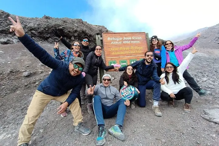
You step out of the van into thin, bright air — a cold wind immediately tests your jacket and the cone of Cotopaxi looms like a powdered peak against a pale sky. The trail from the parking lot climbs across ochre volcanic scree and open páramo grasslands; Limpiopungo’s glassy lagoon mirrors the volcano when the light is calm, and higher up the path tightens toward José Rivas Refuge at 4,864 m.
You step out of the van into thin, bright air — a cold wind immediately tests your jacket and the cone of Cotopaxi looms like a powdered peak against a pale sky. The trail from the parking lot climbs across ochre volcanic scree and open páramo grasslands; Limpiopungo’s glassy lagoon mirrors the volcano when the light is calm, and higher up the path tightens toward José Rivas Refuge at 4,864 m.
Cotopaxi has been an important landmark for indigenous peoples and colonists alike; its symmetric cone—5,897 m high—records repeated eruptions and glacial sculpting. The park sits on volcanic soils and high-elevation paramo, where cushion plants and hardy grasses dominate and condors wheel on thermal lifts. The Interpretation Center at the Caspi entrance provides context on eruption history, local climbing traditions, and the park’s role in Andean culture.
Expect a mix of terrain: compacted service roads, rocky paths, short scree fields, and damp boggy sections near the lagoon. From the parking area to José Rivas is commonly a one-hour, steep walk (roughly 2–3 km with 300–500 m of ascent) at altitude, so breathing is harder than on flat trails. Wildlife sightings—Andean fox, wild páramo birds, and condors—are possible in the quieter hours.
Practical tips: dress in layers, drink frequently for altitude, and plan for sudden weather change—sun, wind, and drizzle can arrive in the same hour. Guides typically provide transport, park entrances, and bilingual interpretation; carry your passport if you want a stamp at the refuge. Start early from Quito to maximize clear views and avoid afternoon cloud build-up.