THE ADVENTURE COLLECTIVE® · Independent discovery and booking for outdoor travel

Trade Marrakech’s bustle for mountain air on a full-day hike from Imlil to Adrar Talmrout. Climb through walnut-lined valleys and traditional Berber villages to panoramic high passes, then descend for a well-earned lunch in Imlil.
Trade Marrakech’s bustle for mountain air on a full-day hike from Imlil to Adrar Talmrout. Climb through walnut-lined valleys and traditional Berber villages to panoramic high passes, then descend for a well-earned lunch in Imlil.
The trail opens like a breath when the minivan leaves Marrakech behind and the red city’s heat thins into mountain air. By Imlil you step from asphalt onto rocky goat paths, walnut groves at your shoulders and stone Berber houses tucked into terraces. The route climbs from roughly 1,740 m in Imlil, past Tamatirt and Ait Souka, up to the Tizi n'Tmatert pass at about 2,280 m, and on to Adrar Talmrout near 2,600 m—each rise revealing a broader, sharper atlas of ridgelines.
Verified experiences and guided adventures in the surrounding area.
Operated by CLICK EXCURSIONS · Imlil, Marrakesh-Safi
The trail opens like a breath when the minivan leaves Marrakech behind and the red city’s heat thins into mountain air. By Imlil you step from asphalt onto rocky goat paths, walnut groves at your shoulders and stone Berber houses tucked into terraces. The route climbs from roughly 1,740 m in Imlil, past Tamatirt and Ait Souka, up to the Tizi n'Tmatert pass at about 2,280 m, and on to Adrar Talmrout near 2,600 m—each rise revealing a broader, sharper atlas of ridgelines.
The High Atlas are young fold mountains carved by tectonic pressure and winter snowmelt; villages here reflect centuries of Amazigh (Berber) farming culture where irrigation channels and terraced plots still shape the slopes. Your guide will point out stonework, seasonal crops and the patterns of transhumance that remain part of local life.
Expect varied terrain: loose scree, packed dirt trails, stepping stones across seasonal streams, and short steep pitches. Weather can shift quickly—sun to wind to cold—so pace yourself on the ascent and watch footing on descents. Lunch in Imlil after the return is more than a meal; it’s a chance to trade stories with your guide over simple tagine and mint tea.
Practical tips: start early, carry 1.5–2 L water, wear sturdy hiking shoes with ankle support, and layer for wind and sun. The hike is rewarding for hikers comfortable with sustained climbs and high-elevation viewpoints; the payoff is a panoramic perspective on a working mountain landscape shaped by people and geology.
Driving is typically about 1–1.5 hours each way depending on traffic, so expect roughly 2–3 hours total transit time.
The hike reaches about 2,600 m; most visitors acclimatize fine if they start from Marrakech the same morning, but those sensitive to altitude should take it easy and notify the guide.
Lunch during the hike is included; it’s usually a local-style meal served back in Imlil after the descent.
The operator notes suitability for a range of fitness levels, but the sustained climbs and uneven terrain make it better for older children used to hikes or adults in reasonable shape.
CLICK EXCURSIONS operates guided outdoor trips and adventures with an emphasis on safety, stewardship, and memorable experiences.
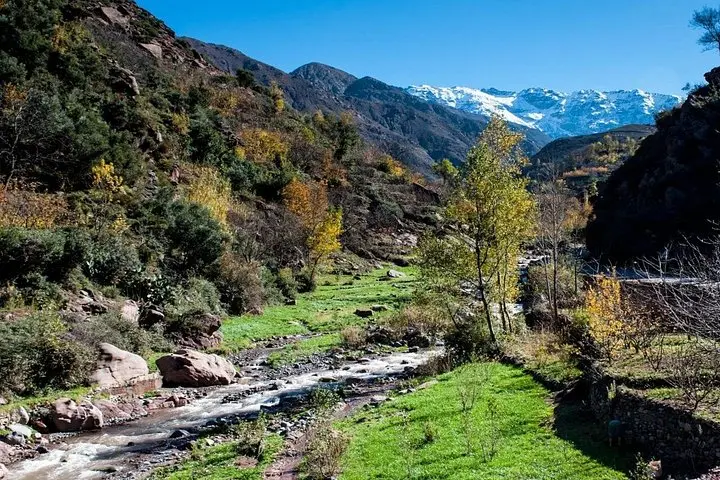
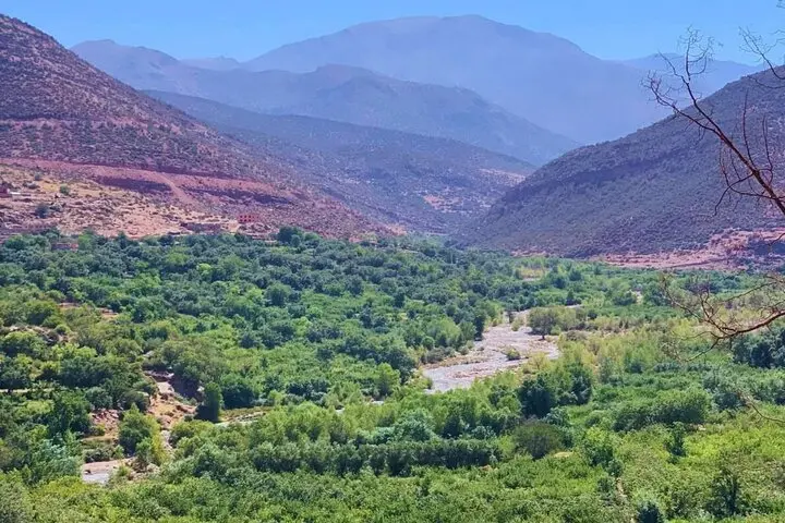
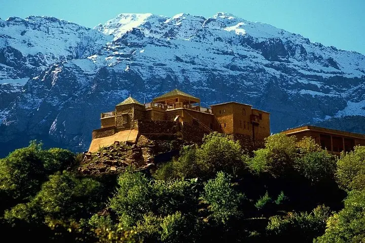
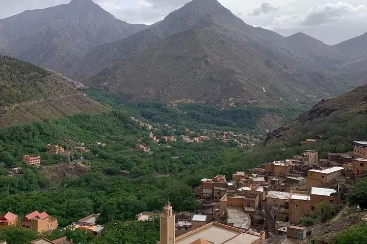
The trail opens like a breath when the minivan leaves Marrakech behind and the red city’s heat thins into mountain air. By Imlil you step from asphalt onto rocky goat paths, walnut groves at your shoulders and stone Berber houses tucked into terraces. The route climbs from roughly 1,740 m in Imlil, past Tamatirt and Ait Souka, up to the Tizi n'Tmatert pass at about 2,280 m, and on to Adrar Talmrout near 2,600 m—each rise revealing a broader, sharper atlas of ridgelines.
The trail opens like a breath when the minivan leaves Marrakech behind and the red city’s heat thins into mountain air. By Imlil you step from asphalt onto rocky goat paths, walnut groves at your shoulders and stone Berber houses tucked into terraces. The route climbs from roughly 1,740 m in Imlil, past Tamatirt and Ait Souka, up to the Tizi n'Tmatert pass at about 2,280 m, and on to Adrar Talmrout near 2,600 m—each rise revealing a broader, sharper atlas of ridgelines.
The High Atlas are young fold mountains carved by tectonic pressure and winter snowmelt; villages here reflect centuries of Amazigh (Berber) farming culture where irrigation channels and terraced plots still shape the slopes. Your guide will point out stonework, seasonal crops and the patterns of transhumance that remain part of local life.
Expect varied terrain: loose scree, packed dirt trails, stepping stones across seasonal streams, and short steep pitches. Weather can shift quickly—sun to wind to cold—so pace yourself on the ascent and watch footing on descents. Lunch in Imlil after the return is more than a meal; it’s a chance to trade stories with your guide over simple tagine and mint tea.
Practical tips: start early, carry 1.5–2 L water, wear sturdy hiking shoes with ankle support, and layer for wind and sun. The hike is rewarding for hikers comfortable with sustained climbs and high-elevation viewpoints; the payoff is a panoramic perspective on a working mountain landscape shaped by people and geology.