THE ADVENTURE COLLECTIVE® · Independent discovery and booking for outdoor travel

Follow a 12 km, full-day descent through Sa Pa’s Muong Hoa Valley to Lao Chai and Ta Van villages. Expect rice terraces, mountain views of Fansipan, riverside lunch, and authentic encounters with Hmong and Giay communities.
Follow a 12 km, full-day descent through Sa Pa’s Muong Hoa Valley to Lao Chai and Ta Van villages. Expect rice terraces, mountain views of Fansipan, riverside lunch, and authentic encounters with Hmong and Giay communities.
The morning air in Sa Pa bites with mountain chill as walkers step away from town and follow narrow trails that descend into the Muong Hoa Valley. Terraced rice paddies slice the slope below, and Fansipan’s high ridgeline looms like a steady companion while streams chatter through stone fords.
Verified experiences and guided adventures in the surrounding area.
Operated by Giang Thi Rua · Sapa, Lao Cai Province
The morning air in Sa Pa bites with mountain chill as walkers step away from town and follow narrow trails that descend into the Muong Hoa Valley. Terraced rice paddies slice the slope below, and Fansipan’s high ridgeline looms like a steady companion while streams chatter through stone fords.
This route threads history and geology: granite ridges of the Hoang Lien range were uplifted by tectonic movement, then carved by monsoon runoff into the valley the Hmong and Giay communities have farmed for centuries. Villages such as Lao Chai and Ta Van still show traditional stilt houses, woven hemp, and family plots where oxen and water buffalo graze between growing rice.
Culture arrives on the trail in conversation and trade—children running ahead, elders tending terraces—and in the low-slung bridges over the Muong Hoa river. You’ll pass ancient rock carvings near the valley and cross small tributaries that have shaped the terraces. The national park’s mix of subtropical forest and montane scrub supports a lean but lively set of birds and small mammals.
Practically: expect 12 km of varied trail mostly downhill with intermittent stone steps, muddy sections after rain, and roughly 300–360 minutes of moving time. Wear grippy shoes, carry at least 1–2 liters of water, and bring a lightweight rain layer and sun protection. Lunch is typically riverside in Lao Chai; toilets are basic at village stops.
This trek is ideal for travelers with moderate fitness who want close cultural contact with mountain communities and direct access to one of northern Vietnam’s most photographed valleys.
The route is about 12 km and usually takes 5–6 hours; terrain is mostly downhill with uneven stone and muddy sections—suitable for hikers with moderate fitness.
Lunch and bottled water are included on many tours; bring extra snacks and a refillable bottle for the day.
Children and older travelers can do the trek if fit and steady on their feet; consider hiring a porter or arranging transport for less mobile participants.
Tours often run in light rain; strong monsoon conditions can make trails slippery and organizers may cancel—bring a rain jacket and check cancellation policies.
Giang Thi Rua operates guided outdoor trips and adventures with an emphasis on safety, stewardship, and memorable experiences.
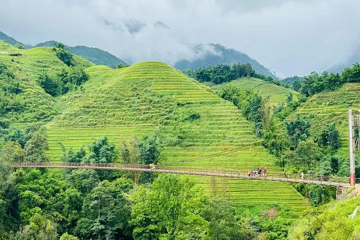
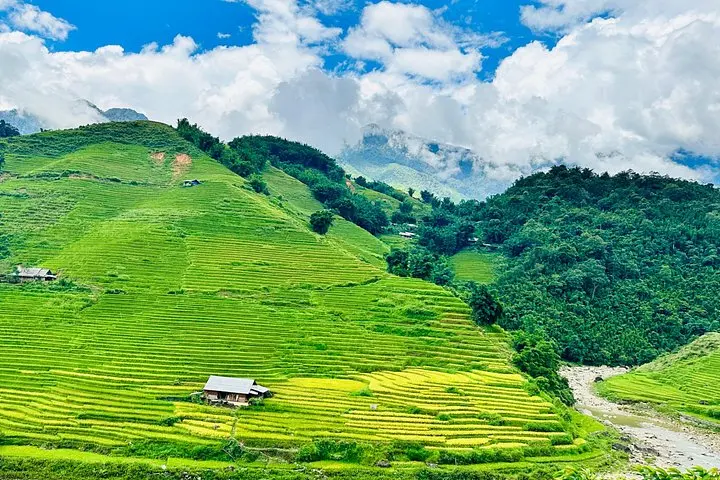
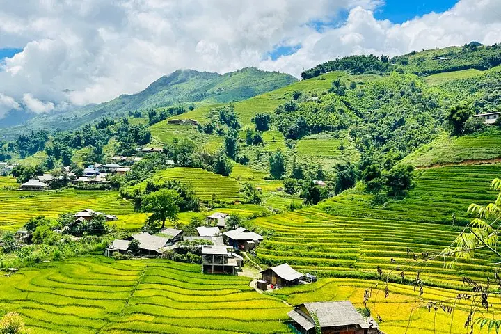
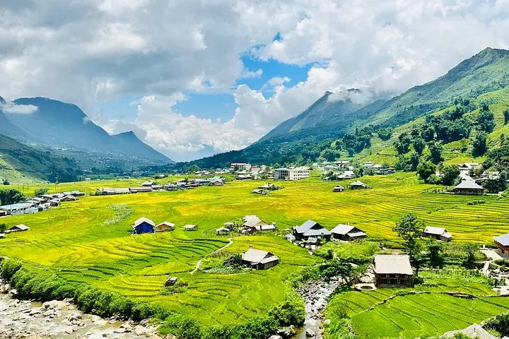
The morning air in Sa Pa bites with mountain chill as walkers step away from town and follow narrow trails that descend into the Muong Hoa Valley. Terraced rice paddies slice the slope below, and Fansipan’s high ridgeline looms like a steady companion while streams chatter through stone fords.
The morning air in Sa Pa bites with mountain chill as walkers step away from town and follow narrow trails that descend into the Muong Hoa Valley. Terraced rice paddies slice the slope below, and Fansipan’s high ridgeline looms like a steady companion while streams chatter through stone fords.
This route threads history and geology: granite ridges of the Hoang Lien range were uplifted by tectonic movement, then carved by monsoon runoff into the valley the Hmong and Giay communities have farmed for centuries. Villages such as Lao Chai and Ta Van still show traditional stilt houses, woven hemp, and family plots where oxen and water buffalo graze between growing rice.
Culture arrives on the trail in conversation and trade—children running ahead, elders tending terraces—and in the low-slung bridges over the Muong Hoa river. You’ll pass ancient rock carvings near the valley and cross small tributaries that have shaped the terraces. The national park’s mix of subtropical forest and montane scrub supports a lean but lively set of birds and small mammals.
Practically: expect 12 km of varied trail mostly downhill with intermittent stone steps, muddy sections after rain, and roughly 300–360 minutes of moving time. Wear grippy shoes, carry at least 1–2 liters of water, and bring a lightweight rain layer and sun protection. Lunch is typically riverside in Lao Chai; toilets are basic at village stops.
This trek is ideal for travelers with moderate fitness who want close cultural contact with mountain communities and direct access to one of northern Vietnam’s most photographed valleys.