THE ADVENTURE COLLECTIVE® · Independent discovery and booking for outdoor travel

A three-day easyrider motorbike loop across the Dong Van Karst Plateau that hits Ma Pi Leng, Lung Cu and the Sky Path. Expect long riding days, stark limestone canyons and immersive village homestays.
A three-day easyrider motorbike loop across the Dong Van Karst Plateau that hits Ma Pi Leng, Lung Cu and the Sky Path. Expect long riding days, stark limestone canyons and immersive village homestays.
Morning fog lifts off limestone towers as an easyrider guides a line of motorbikes onto the serpentine ridges above Ha Giang. Wind and engine noise replace city voices; terraces and steep valleys fall away in layered greens and rust. Over three days riders cover mountain passes and village lanes, pause at cliff-edge overlooks and spend nights in local homestays where firelight and folk songs fill the air.
Verified experiences and guided adventures in the surrounding area.
Operated by Explore Ha Giang Loop · Ha Giang, Ha Giang Province
Morning fog lifts off limestone towers as an easyrider guides a line of motorbikes onto the serpentine ridges above Ha Giang. Wind and engine noise replace city voices; terraces and steep valleys fall away in layered greens and rust. Over three days riders cover mountain passes and village lanes, pause at cliff-edge overlooks and spend nights in local homestays where firelight and folk songs fill the air.
The route threads the Dong Van Karst Plateau Global Geopark — a landscape of exposed limestone and deep canyons carved over geological time. Ma Pi Leng, one of Vietnam’s great passes, drops to a canyon rumored to be 1,000 meters deep. Cultural history is immediate: Hmong, Red Dao and Lo Lo communities farm terraced slopes and weave hemp into cloth; Lung Cu’s flag tower marks the country’s northernmost point and reveals borderland history shaped by trade and migration.
Practically, the tour balances long saddle hours with short treks (roughly 120–155 km on days one and two, 145 km on day three). Guides provide helmets, raincoats and basic protective gear; permits and most meals are included. Expect rough pavement, abrupt weather swings and tight switchbacks — bring layered clothing, a small daypack, and be ready for frequent photo stops. Start early to avoid midday clouds and the rainy season when roads get slick. For travelers who want an intense, face-to-wind way to read Vietnam’s northern edge, this three-day loop delivers sweeping geology, honest village encounters and the kind of road that keeps you alert and alive.
No — this is an easyrider tour where a trained driver operates the motorbike; passengers are not required to have a license.
Moderate fitness is recommended: you’ll sit on a bike for long stretches and do a few short treks of 3–5 km on uneven trails.
Accommodations are local homestays and simple guesthouses — private rooms vary by night, and some nights may include shared facilities.
Yes — the tour includes the Ha Giang travel permit and most entrance fees listed in the itinerary, along with meals specified by the operator.
Explore Ha Giang Loop operates guided outdoor trips and adventures with an emphasis on safety, stewardship, and memorable experiences.
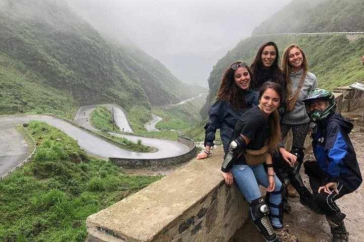
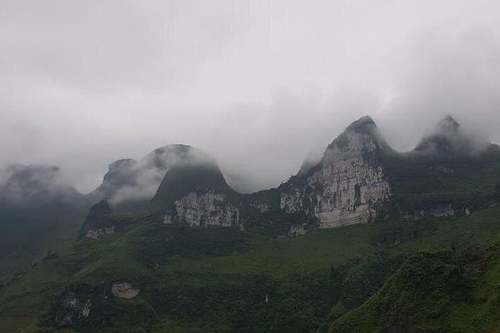
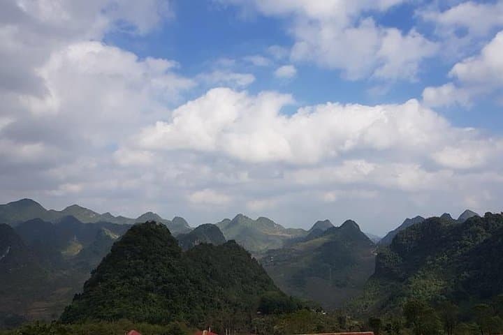
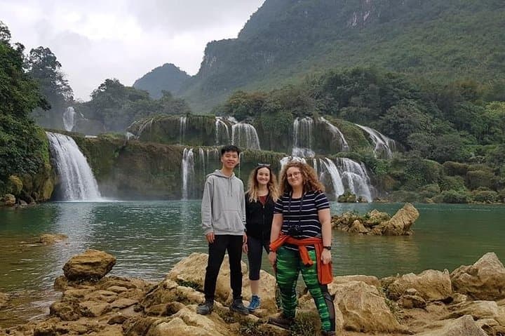
Morning fog lifts off limestone towers as an easyrider guides a line of motorbikes onto the serpentine ridges above Ha Giang. Wind and engine noise replace city voices; terraces and steep valleys fall away in layered greens and rust. Over three days riders cover mountain passes and village lanes, pause at cliff-edge overlooks and spend nights in local homestays where firelight and folk songs fill the air.
Morning fog lifts off limestone towers as an easyrider guides a line of motorbikes onto the serpentine ridges above Ha Giang. Wind and engine noise replace city voices; terraces and steep valleys fall away in layered greens and rust. Over three days riders cover mountain passes and village lanes, pause at cliff-edge overlooks and spend nights in local homestays where firelight and folk songs fill the air.
The route threads the Dong Van Karst Plateau Global Geopark — a landscape of exposed limestone and deep canyons carved over geological time. Ma Pi Leng, one of Vietnam’s great passes, drops to a canyon rumored to be 1,000 meters deep. Cultural history is immediate: Hmong, Red Dao and Lo Lo communities farm terraced slopes and weave hemp into cloth; Lung Cu’s flag tower marks the country’s northernmost point and reveals borderland history shaped by trade and migration.
Practically, the tour balances long saddle hours with short treks (roughly 120–155 km on days one and two, 145 km on day three). Guides provide helmets, raincoats and basic protective gear; permits and most meals are included. Expect rough pavement, abrupt weather swings and tight switchbacks — bring layered clothing, a small daypack, and be ready for frequent photo stops. Start early to avoid midday clouds and the rainy season when roads get slick. For travelers who want an intense, face-to-wind way to read Vietnam’s northern edge, this three-day loop delivers sweeping geology, honest village encounters and the kind of road that keeps you alert and alive.