THE ADVENTURE COLLECTIVE® · Independent discovery and booking for outdoor travel

Two days on the Ha Giang Loop deliver vertiginous passes, limestone canyons and H’Mong villages. This concise guide explains what to expect—roads, highlights and practical tips for riding Ma Pi Leng and the Nho Que River valley.
Two days on the Ha Giang Loop deliver vertiginous passes, limestone canyons and H’Mong villages. This concise guide explains what to expect—roads, highlights and practical tips for riding Ma Pi Leng and the Nho Que River valley.
Morning light hits Ha Giang’s narrow streets and the engines answer—two days of switchbacks, river canyons and H’Mong villages begin. The road climbs, falls and twists, offering vantage points where the limestone walls of Tu San canyon push the Nho Que River into a slow, green ribbon below.
Verified experiences and guided adventures in the surrounding area.
Operated by Local Tours Ha Giang · Ha Giang, Ha Giang Province
Morning light hits Ha Giang’s narrow streets and the engines answer—two days of switchbacks, river canyons and H’Mong villages begin. The road climbs, falls and twists, offering vantage points where the limestone walls of Tu San canyon push the Nho Que River into a slow, green ribbon below.
This short loop tracks classic northern Vietnamese highland highlights: Quan Ba’s twin-peaked ridges, the layered fields around Yen Minh, Dong Van’s French-era quarter and the vertiginous Ma Pi Leng Pass (approx. 1,200 m). Geologically, you ride through folded carbonate mountains carved into steep karst cliffs; culturally, the route threads H’Mong and Dao communities whose stone houses and embroidered clothes mark seasonal rhythms—see buckwheat and Tam Giac Mach blooms in spring.
Expect roughly 250–320 km of riding over two days on narrow provincial roads—mainly pavement, but with short gravel patches and tight hairpins. The second day’s highlight is the Nho Que boat ride through Tu San canyon, a chance to feel the river’s pull and see cliffs from the valley floor.
Practical guide: start at first light, keep fuel topped up (stations sparse), and ride conservatively on exposed bends. Helmets and rain gear are typically provided; bring layered clothing, a charged phone with offline maps and basic first-aid. If you’re not confident on mountain roads, opt for the Easy Rider option with a local driver. Plan for variable weather—fog and sudden rain are common at higher elevations—and allow flexible time for photo stops and local markets.
Foreign riders should carry an international driving permit and their home license; many operators also offer Easy Rider packages with a local driver if you lack a permit or prefer not to ride.
Roads are mostly paved but narrow with sharp switchbacks and occasional gravel or potholes—expect challenging riding that rewards caution and moderate experience.
This 2-day tour includes one night in a dorm-style hotel or homestay in Dong Van; bring earplugs and modest expectations for rural lodging comforts.
Best months are September–November and March–May for clearer skies and flowers; summer brings heavy rains and winter can be cold at higher passes.
Local Tours Ha Giang operates guided outdoor trips and adventures with an emphasis on safety, stewardship, and memorable experiences.
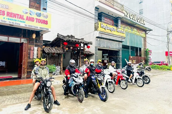
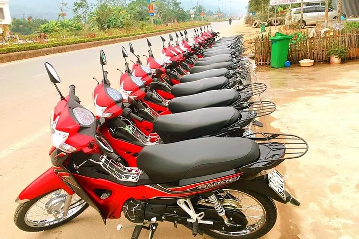

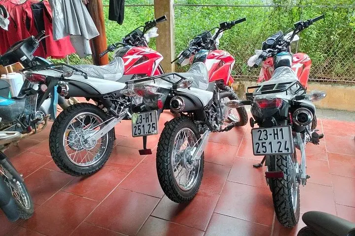
Morning light hits Ha Giang’s narrow streets and the engines answer—two days of switchbacks, river canyons and H’Mong villages begin. The road climbs, falls and twists, offering vantage points where the limestone walls of Tu San canyon push the Nho Que River into a slow, green ribbon below.
Morning light hits Ha Giang’s narrow streets and the engines answer—two days of switchbacks, river canyons and H’Mong villages begin. The road climbs, falls and twists, offering vantage points where the limestone walls of Tu San canyon push the Nho Que River into a slow, green ribbon below.
This short loop tracks classic northern Vietnamese highland highlights: Quan Ba’s twin-peaked ridges, the layered fields around Yen Minh, Dong Van’s French-era quarter and the vertiginous Ma Pi Leng Pass (approx. 1,200 m). Geologically, you ride through folded carbonate mountains carved into steep karst cliffs; culturally, the route threads H’Mong and Dao communities whose stone houses and embroidered clothes mark seasonal rhythms—see buckwheat and Tam Giac Mach blooms in spring.
Expect roughly 250–320 km of riding over two days on narrow provincial roads—mainly pavement, but with short gravel patches and tight hairpins. The second day’s highlight is the Nho Que boat ride through Tu San canyon, a chance to feel the river’s pull and see cliffs from the valley floor.
Practical guide: start at first light, keep fuel topped up (stations sparse), and ride conservatively on exposed bends. Helmets and rain gear are typically provided; bring layered clothing, a charged phone with offline maps and basic first-aid. If you’re not confident on mountain roads, opt for the Easy Rider option with a local driver. Plan for variable weather—fog and sudden rain are common at higher elevations—and allow flexible time for photo stops and local markets.