THE ADVENTURE COLLECTIVE® · Independent discovery and booking for outdoor travel

Three days on the Ha Giang Loop deliver towering karst ridges, hairpin passes like Ma Pi Leng, and authentic ethnic homestays. This motorbike tour with an easy rider is a compact, high-altitude sampler of Vietnam’s northernmost landscapes.
Three days on the Ha Giang Loop deliver towering karst ridges, hairpin passes like Ma Pi Leng, and authentic ethnic homestays. This motorbike tour with an easy rider is a compact, high-altitude sampler of Vietnam’s northernmost landscapes.
You crest a switchback and the world opens: steep limestone ribs drop to a ribbon of green river, terraces cut like steps across the valley, and the cold air on your cheeks sharpens every contour. This is the Ha Giang Loop—three days of high passes, narrow lanes and living culture—experienced best on a motorbike with a local easy rider.
Verified experiences and guided adventures in the surrounding area.
Operated by Authenitc Travel DA NANG · Ha Giang, Ha Giang Province
You crest a switchback and the world opens: steep limestone ribs drop to a ribbon of green river, terraces cut like steps across the valley, and the cold air on your cheeks sharpens every contour. This is the Ha Giang Loop—three days of high passes, narrow lanes and living culture—experienced best on a motorbike with a local easy rider.
The route threads the Dong Van Karst Plateau, a UNESCO Global Geopark of uplifted limestone, jagged monoliths and deep river canyons carved over millennia. Historic sites punctuate the ride: the palace of the Hmong “Meo King” from the early 20th century, Lung Cu’s flagpole that marks Vietnam’s northern edge, and weekend markets where ethnic minorities trade textiles and produce. Villages of Hmong, Tay and Dao communities offer homestays and a direct window into daily mountain life.
Expect roughly 300–350 km of riding across paved but narrow roads, passes reaching about 1,500–2,000 m (Quan Ba Gate ~1,500 m; Ma Pi Leng ~2,000 m), and frequent hairpins with exposed drop-offs. Terrain varies from smooth asphalt to patched sections; weather can flip from sun to fog or rain in hours.
Practical notes: travel light, block time for photo stops and market visits, and book a licensed easy rider if you prefer not to ride. Hydrate, layer for cold at altitude, and allow flexibility—road conditions and local pace dictate the best days here. The payoff is immediate: raw views, unexpected waterfalls, and a route that keeps pushing you forward.
When riding yourself, you should carry a valid motorcycle license; however, many travelers choose the easy rider option where a local driver handles riding, removing the need to ride yourself.
Daily legs vary but typically total ~100–150 km per day with many photo and market stops, translating to several hours on the bike with regular breaks.
Roads include tight hairpins and steep drop-offs; inexperienced riders should opt for an easy rider or ensure they are comfortable riding mountainous roads before attempting the loop alone.
Most local guides speak Vietnamese and many operators provide English-speaking guides; confirm language capability when booking if you need English.
Authenitc Travel DA NANG operates guided outdoor trips and adventures with an emphasis on safety, stewardship, and memorable experiences.
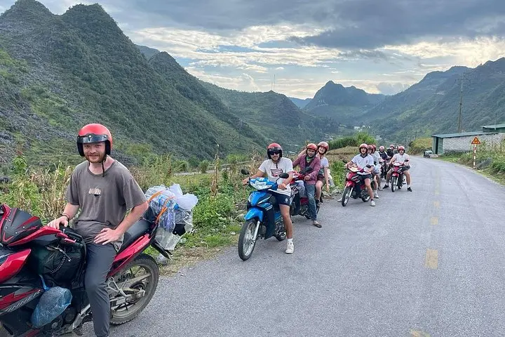
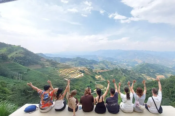
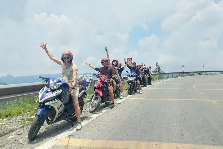
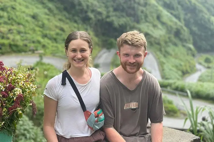
You crest a switchback and the world opens: steep limestone ribs drop to a ribbon of green river, terraces cut like steps across the valley, and the cold air on your cheeks sharpens every contour. This is the Ha Giang Loop—three days of high passes, narrow lanes and living culture—experienced best on a motorbike with a local easy rider.
You crest a switchback and the world opens: steep limestone ribs drop to a ribbon of green river, terraces cut like steps across the valley, and the cold air on your cheeks sharpens every contour. This is the Ha Giang Loop—three days of high passes, narrow lanes and living culture—experienced best on a motorbike with a local easy rider.
The route threads the Dong Van Karst Plateau, a UNESCO Global Geopark of uplifted limestone, jagged monoliths and deep river canyons carved over millennia. Historic sites punctuate the ride: the palace of the Hmong “Meo King” from the early 20th century, Lung Cu’s flagpole that marks Vietnam’s northern edge, and weekend markets where ethnic minorities trade textiles and produce. Villages of Hmong, Tay and Dao communities offer homestays and a direct window into daily mountain life.
Expect roughly 300–350 km of riding across paved but narrow roads, passes reaching about 1,500–2,000 m (Quan Ba Gate ~1,500 m; Ma Pi Leng ~2,000 m), and frequent hairpins with exposed drop-offs. Terrain varies from smooth asphalt to patched sections; weather can flip from sun to fog or rain in hours.
Practical notes: travel light, block time for photo stops and market visits, and book a licensed easy rider if you prefer not to ride. Hydrate, layer for cold at altitude, and allow flexibility—road conditions and local pace dictate the best days here. The payoff is immediate: raw views, unexpected waterfalls, and a route that keeps pushing you forward.