THE ADVENTURE COLLECTIVE® · Independent discovery and booking for outdoor travel

A three-day motorbike loop that threads Vietnam’s northern karst plateau: Ma Pi Leng’s vertiginous pass, Lung Cam’s Hmong houses, and the Nho Que River gorge. Pick self-riding for full control or an easy-rider and ride relaxed through cultural highlands.
A three-day motorbike loop that threads Vietnam’s northern karst plateau: Ma Pi Leng’s vertiginous pass, Lung Cam’s Hmong houses, and the Nho Que River gorge. Pick self-riding for full control or an easy-rider and ride relaxed through cultural highlands.
You kick off before dawn, Hanoi shrinking behind you as the road climbs into a raw northern skyline. Mountain air bites at the visor and river valleys open like pages: limestone spires, corn terraces, and a ribbon of asphalt threading through Hmong and Dao villages. Over three days you cover roughly 300 km of switchbacks and ridge roads, topping out near the Ma Pi Leng pass at around 1,200 m where the Nho Que River slices the valley below.
Verified experiences and guided adventures in the surrounding area.
Operated by Authentic NINH BINH · Ha Giang, Ha Giang
You kick off before dawn, Hanoi shrinking behind you as the road climbs into a raw northern skyline. Mountain air bites at the visor and river valleys open like pages: limestone spires, corn terraces, and a ribbon of asphalt threading through Hmong and Dao villages. Over three days you cover roughly 300 km of switchbacks and ridge roads, topping out near the Ma Pi Leng pass at around 1,200 m where the Nho Que River slices the valley below.
Geology here is immediate — the Dong Van Karst Plateau is a worn, craggy landscape of limestone towers carved by millennia of rain and wind; it’s part of the Dong Van Karst Plateau UNESCO Global Geopark. The area’s human story runs parallel: Hmong, Dao and Lo Lo communities, stilt houses, and woven brocade villages like Lung Tam that still practice age-old crafts.
Expect narrow mountain roads, occasional unpaved sections, steep grades and high-altitude exposure. Homestays and shared dorm beds place you inside local life: evening conversations, simple meals, and starlit air.
Practical guidance: ride conservatively on tight passes, refuel in towns (carry a small reserve if self-riding), and layer for dramatic temperature swings — mornings can be near freezing while afternoons warm quickly. If you’re not confident on a motorbike, choose the easy-rider option and focus on the views: Ma Pi Leng viewpoints, Lung Cam valley, and Du Gia waterfall are the highlights. Travel with respect — permits are part of the route, support homestays, and leave no trace on fragile karst slopes.
If you choose self-riding you should have a valid motorcycle license and experience riding on mountain roads; the easy-rider option lets you ride as a passenger with a local driver.
Yes — border-area permits are required for some sections; reputable operators include the permit in the tour price.
Expect a mix of paved and short unpaved stretches with steep switchbacks; the loop covers roughly 300 km over three days with several long riding sessions each day.
Accommodations are primarily local homestays with shared dormitory beds—simple, clean, and a direct way to support local communities.
Authentic NINH BINH operates guided outdoor trips and adventures with an emphasis on safety, stewardship, and memorable experiences.
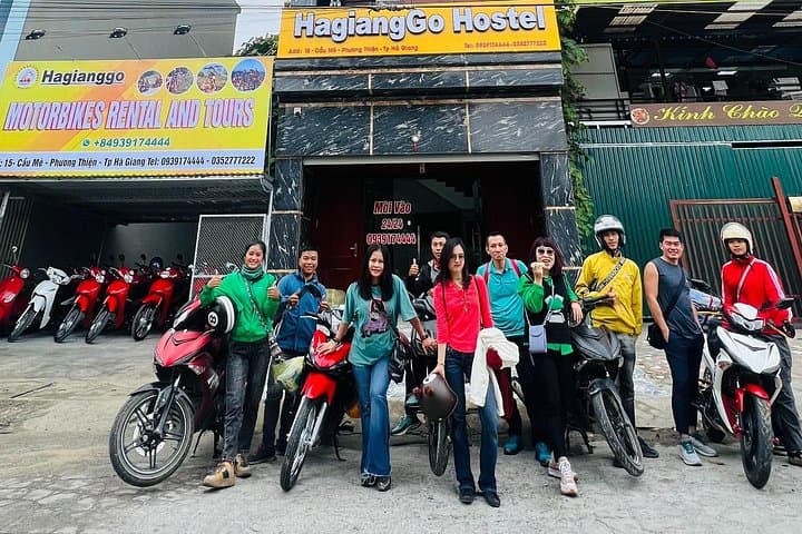
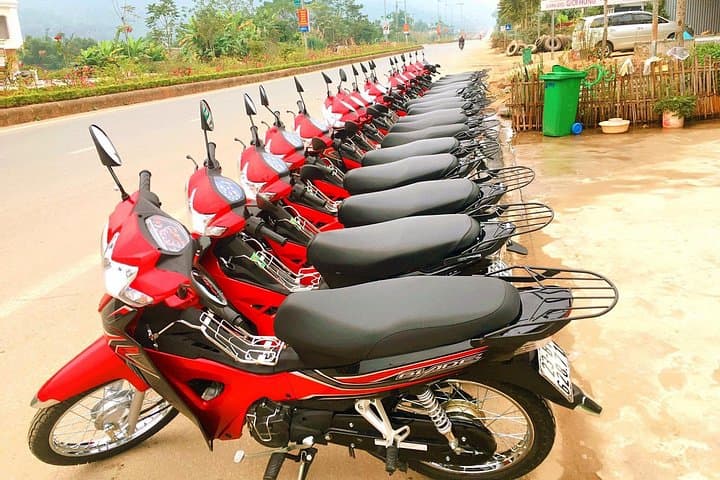
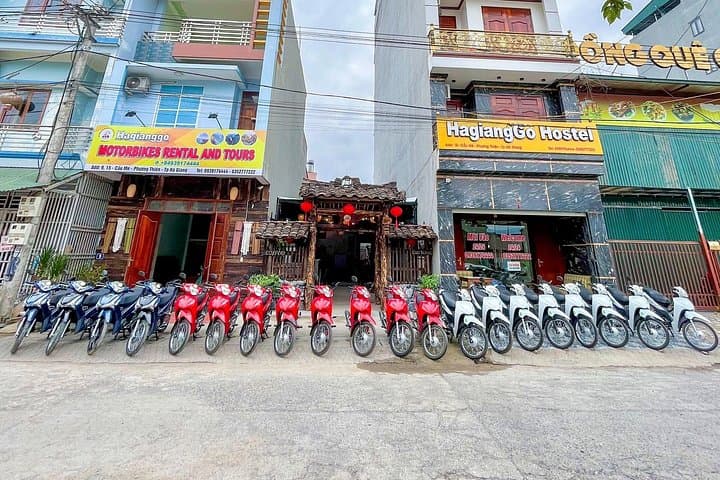
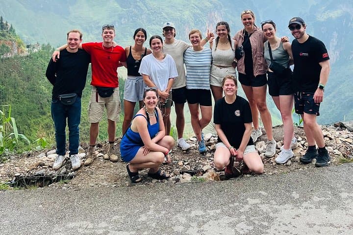
You kick off before dawn, Hanoi shrinking behind you as the road climbs into a raw northern skyline. Mountain air bites at the visor and river valleys open like pages: limestone spires, corn terraces, and a ribbon of asphalt threading through Hmong and Dao villages. Over three days you cover roughly 300 km of switchbacks and ridge roads, topping out near the Ma Pi Leng pass at around 1,200 m where the Nho Que River slices the valley below.
You kick off before dawn, Hanoi shrinking behind you as the road climbs into a raw northern skyline. Mountain air bites at the visor and river valleys open like pages: limestone spires, corn terraces, and a ribbon of asphalt threading through Hmong and Dao villages. Over three days you cover roughly 300 km of switchbacks and ridge roads, topping out near the Ma Pi Leng pass at around 1,200 m where the Nho Que River slices the valley below.
Geology here is immediate — the Dong Van Karst Plateau is a worn, craggy landscape of limestone towers carved by millennia of rain and wind; it’s part of the Dong Van Karst Plateau UNESCO Global Geopark. The area’s human story runs parallel: Hmong, Dao and Lo Lo communities, stilt houses, and woven brocade villages like Lung Tam that still practice age-old crafts.
Expect narrow mountain roads, occasional unpaved sections, steep grades and high-altitude exposure. Homestays and shared dorm beds place you inside local life: evening conversations, simple meals, and starlit air.
Practical guidance: ride conservatively on tight passes, refuel in towns (carry a small reserve if self-riding), and layer for dramatic temperature swings — mornings can be near freezing while afternoons warm quickly. If you’re not confident on a motorbike, choose the easy-rider option and focus on the views: Ma Pi Leng viewpoints, Lung Cam valley, and Du Gia waterfall are the highlights. Travel with respect — permits are part of the route, support homestays, and leave no trace on fragile karst slopes.