THE ADVENTURE COLLECTIVE® · Independent discovery and booking for outdoor travel

Drive the Ha Giang Loop in three days and watch limestone plateaus, the dramatic Ma Pi Leng Pass and Lung Cu Flagpole unfold. This accessible car tour pairs UNESCO karst scenery with village culture and short walks at key viewpoints.
Drive the Ha Giang Loop in three days and watch limestone plateaus, the dramatic Ma Pi Leng Pass and Lung Cu Flagpole unfold. This accessible car tour pairs UNESCO karst scenery with village culture and short walks at key viewpoints.
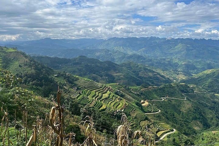
A cool mountain wind greets the road as the limousine peels out of Hanoi and the lowlands shrink behind you. By midday the landscape has shifted to limestone spires and terraced fields cupped in valley bowls; the driver threads hairpin after hairpin while plateaus rise and fall like chapters in a geological history book.
Verified experiences and guided adventures in the surrounding area.
Operated by Authentic MAI CHAU · Ha Giang City, Ha Giang Province
A cool mountain wind greets the road as the limousine peels out of Hanoi and the lowlands shrink behind you. By midday the landscape has shifted to limestone spires and terraced fields cupped in valley bowls; the driver threads hairpin after hairpin while plateaus rise and fall like chapters in a geological history book.
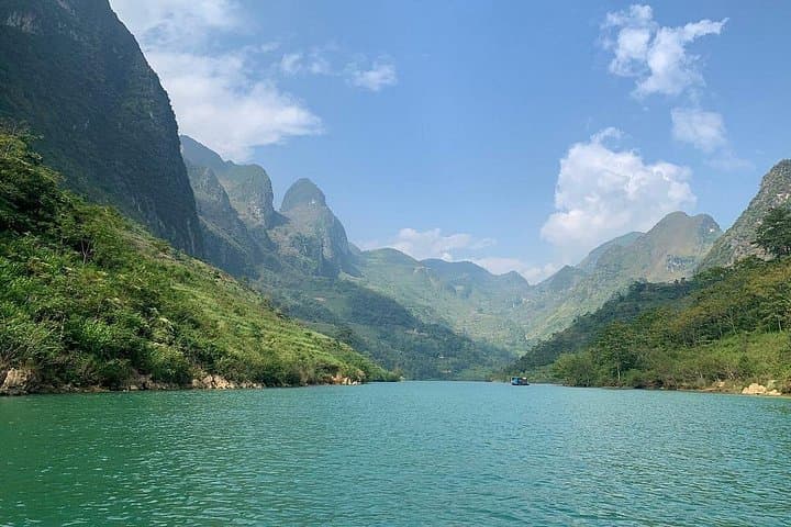
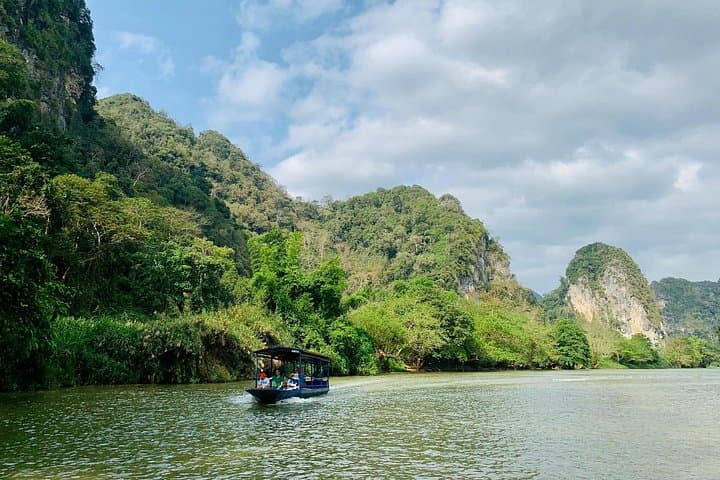
This three-day loop follows the Dong Van Karst Plateau — a UNESCO Global Geopark — where 400 million years of uplifted limestone have been carved into pinnacles, deep gorges and the narrow spine of Ma Pi Leng. Cultural history shows on the route: the Hmong King Palace, built in the early 20th century, and Lung Cu Flagpole, standing near 1,470 m at Vietnam’s northern edge, speak to local identity and borderland stories. Villages such as Lung Cam preserve stone houses and seasonal buckwheat blooms, while the Nho Que River dares you to peer into its emerald gorge.
Expect about 300–350 km of driving across paved and rural mountain roads with elevation swings up to ~1,500 m, brief village walks and viewpoints rather than long hikes. Roads are scenic but winding; some rural stretches can be narrow or rough. Practical tips: pack layers for 5–15°C swings, bring motion-sickness remedies, carry cash for small purchases, and plan camera batteries and water for viewpoint stops. The tour balances easy logistics with dramatic scenery — an accessible way to sample Ha Giang’s geology, ethnic cultures and highland rhythms without heavy hiking.
Expect roughly 6–8 hours of driving on day one and day three, with day two featuring shorter driving segments and more stops for viewpoints and cultural sites.
The tour notes entrance fees for Pao’s House, Hmong King Palace, Lung Cu flag and Nho Que boat are covered; check your booking for any changes.
The tour is described as easy and suitable for most fitness levels, but it requires getting in and out of the vehicle and short walks; not recommended for those with serious spinal or heart issues.
Vietnamese dong is used locally and English-speaking guides are provided; carry small change for markets and tips.
Authentic MAI CHAU operates guided outdoor trips and adventures with an emphasis on safety, stewardship, and memorable experiences.

A cool mountain wind greets the road as the limousine peels out of Hanoi and the lowlands shrink behind you. By midday the landscape has shifted to limestone spires and terraced fields cupped in valley bowls; the driver threads hairpin after hairpin while plateaus rise and fall like chapters in a geological history book.
A cool mountain wind greets the road as the limousine peels out of Hanoi and the lowlands shrink behind you. By midday the landscape has shifted to limestone spires and terraced fields cupped in valley bowls; the driver threads hairpin after hairpin while plateaus rise and fall like chapters in a geological history book.
This three-day loop follows the Dong Van Karst Plateau — a UNESCO Global Geopark — where 400 million years of uplifted limestone have been carved into pinnacles, deep gorges and the narrow spine of Ma Pi Leng. Cultural history shows on the route: the Hmong King Palace, built in the early 20th century, and Lung Cu Flagpole, standing near 1,470 m at Vietnam’s northern edge, speak to local identity and borderland stories. Villages such as Lung Cam preserve stone houses and seasonal buckwheat blooms, while the Nho Que River dares you to peer into its emerald gorge.
Expect about 300–350 km of driving across paved and rural mountain roads with elevation swings up to ~1,500 m, brief village walks and viewpoints rather than long hikes. Roads are scenic but winding; some rural stretches can be narrow or rough. Practical tips: pack layers for 5–15°C swings, bring motion-sickness remedies, carry cash for small purchases, and plan camera batteries and water for viewpoint stops. The tour balances easy logistics with dramatic scenery — an accessible way to sample Ha Giang’s geology, ethnic cultures and highland rhythms without heavy hiking.