THE ADVENTURE COLLECTIVE® · Independent discovery and booking for outdoor travel

Visit Ecuador’s famous equator monuments and peer into the living Pululahua crater on a focused half-day outing from Quito. This practical guide covers what to expect — altitude, terrain, history and logistics — so you can plan a confident, photo-ready visit.
Visit Ecuador’s famous equator monuments and peer into the living Pululahua crater on a focused half-day outing from Quito. This practical guide covers what to expect — altitude, terrain, history and logistics — so you can plan a confident, photo-ready visit.
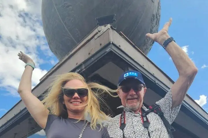
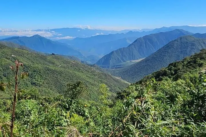
You step out of the minivan and the air feels different — thinner, drier, bright with a sun that seems to sit directly overhead. The 31-meter obelisk looms at the Middle of the World, concrete marking where science, myth and local memory collide. A few minutes' drive away the Pululahua crater opens like a green bowl: farm plots and charcoal roofs ripple across volcanic slopes while clouds push against the rim.
Verified experiences and guided adventures in the surrounding area.
Operated by Galapagos My World · Quito, Pichincha
You step out of the minivan and the air feels different — thinner, drier, bright with a sun that seems to sit directly overhead. The 31-meter obelisk looms at the Middle of the World, concrete marking where science, myth and local memory collide. A few minutes' drive away the Pululahua crater opens like a green bowl: farm plots and charcoal roofs ripple across volcanic slopes while clouds push against the rim.
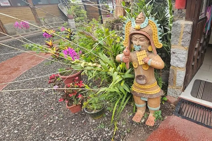
This short tour stitches together Quito’s colonial-era geography and older stories of the French Geodesic Mission of 1736, the scientists who first attempted to measure the equator here. Geologically Pululahua is a low, inhabited caldera within the Pululahua Geobotanical Reserve — an active volcano on a long sleep, its soils rich enough to support small-scale agriculture. Culturally the sites are lively: Intiñan’s interpretive exhibits bring Kichwa practices to life, while San Antonio de Pichincha offers a window into contemporary Andean town life.
Practical side: plan for 4–5 hours including transfers. Altitude (roughly 2,700–2,900 m) is the real variable — go slow on stairs, sip water, and avoid heavy meals before hiking short viewpoints. Expect paved paths, a few steep viewpoints, and flat museum exhibits. Photography is rewarding at midday when shadows are sharp; mornings and late afternoons bring softer light and cooler temperatures. If you’re adding the Telefériqo or a birdwatching option, leave extra time for lines. Bring layered clothing, sun protection, and modest footwear for crater viewpoints. The route is family-friendly but listen to the guide about safety at higher viewpoints.
The tour runs about 4–5 hours door-to-door from Quito, including stops at the obelisk, Intiñan museum and Pululahua viewpoint.
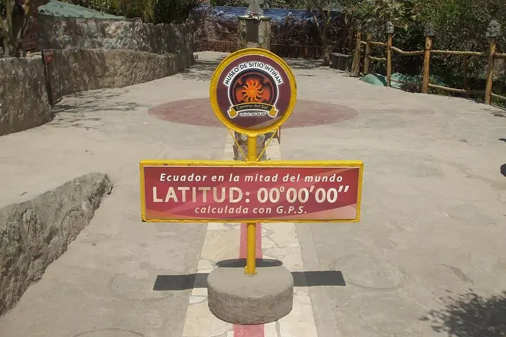
The monument marks a historical survey point; nearby Intiñan and other sites demonstrate different interpretations — bring your GPS if you want to compare coordinates.
Yes — Pululahua is one of the few inhabited volcanic craters; local farms and small communities live and work on its slopes.
The itinerary lists wheelchair and stroller accessibility for museum areas, but crater viewpoints have uneven ground — check with the operator about level-of-access for specific stops.
Galapagos My World operates guided outdoor trips and adventures with an emphasis on safety, stewardship, and memorable experiences.
You step out of the minivan and the air feels different — thinner, drier, bright with a sun that seems to sit directly overhead. The 31-meter obelisk looms at the Middle of the World, concrete marking where science, myth and local memory collide. A few minutes' drive away the Pululahua crater opens like a green bowl: farm plots and charcoal roofs ripple across volcanic slopes while clouds push against the rim.
You step out of the minivan and the air feels different — thinner, drier, bright with a sun that seems to sit directly overhead. The 31-meter obelisk looms at the Middle of the World, concrete marking where science, myth and local memory collide. A few minutes' drive away the Pululahua crater opens like a green bowl: farm plots and charcoal roofs ripple across volcanic slopes while clouds push against the rim.
This short tour stitches together Quito’s colonial-era geography and older stories of the French Geodesic Mission of 1736, the scientists who first attempted to measure the equator here. Geologically Pululahua is a low, inhabited caldera within the Pululahua Geobotanical Reserve — an active volcano on a long sleep, its soils rich enough to support small-scale agriculture. Culturally the sites are lively: Intiñan’s interpretive exhibits bring Kichwa practices to life, while San Antonio de Pichincha offers a window into contemporary Andean town life.
Practical side: plan for 4–5 hours including transfers. Altitude (roughly 2,700–2,900 m) is the real variable — go slow on stairs, sip water, and avoid heavy meals before hiking short viewpoints. Expect paved paths, a few steep viewpoints, and flat museum exhibits. Photography is rewarding at midday when shadows are sharp; mornings and late afternoons bring softer light and cooler temperatures. If you’re adding the Telefériqo or a birdwatching option, leave extra time for lines. Bring layered clothing, sun protection, and modest footwear for crater viewpoints. The route is family-friendly but listen to the guide about safety at higher viewpoints.