THE ADVENTURE COLLECTIVE® · Independent discovery and booking for outdoor travel

A compact two-day traverse through the High Atlas from Imlil to Ouirgane, crossing Tizi M'zzik and descending into the Azzaden valley. Expect steep passes, Berber village hospitality, and varied terrain over roughly 10 hours of walking.
A compact two-day traverse through the High Atlas from Imlil to Ouirgane, crossing Tizi M'zzik and descending into the Azzaden valley. Expect steep passes, Berber village hospitality, and varied terrain over roughly 10 hours of walking.
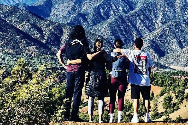
You step out of the minibus as the heat of Marrakech gives way to cool, pine-scented air. Paths climb immediately from Imlil, switchbacking through mule tracks as the village recedes and the High Atlas pulls you upward toward Tizi M'zzik (2,540 m).
Verified experiences and guided adventures in the surrounding area.
Operated by Atlas Mountains View · Imlil, Marrakesh-Safi
You step out of the minibus as the heat of Marrakech gives way to cool, pine-scented air. Paths climb immediately from Imlil, switchbacking through mule tracks as the village recedes and the High Atlas pulls you upward toward Tizi M'zzik (2,540 m).
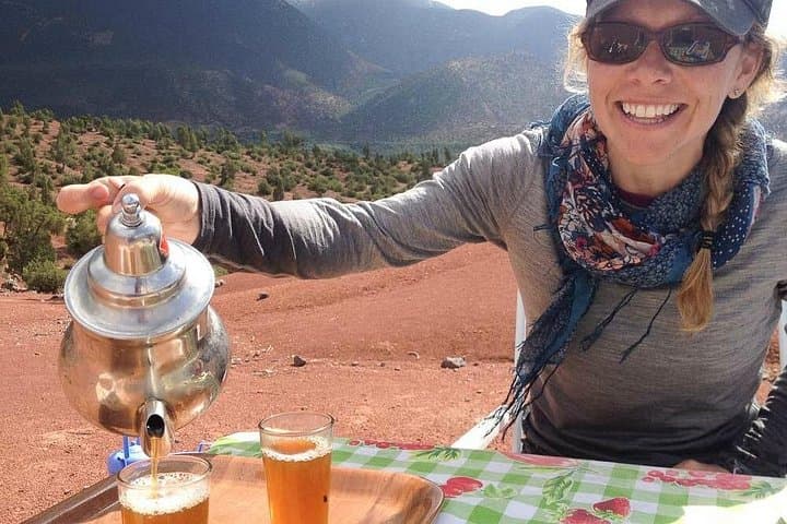
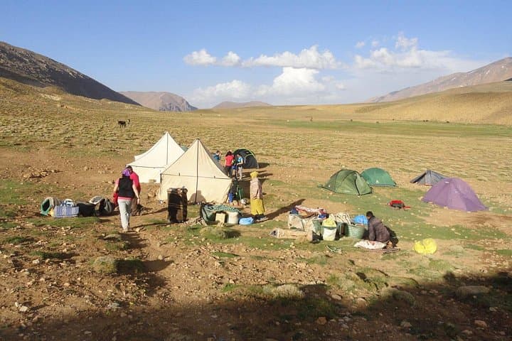
This is a two-day traverse that blends hard-breathing passes with long downhill afternoons. Day one is a steady 800–900 m ascent over roughly 10–12 km of rocky track and packed dirt, passing terraced fields and a possible side trip to the Ighouliden waterfalls. Overnight is in a simple Berber gîte at Tizi Oussem (or, June–Oct, a campsite), where village life—wood smoke, lamb tagine, and communal beds—frames the mountain night.
Geology here is folded Mesozoic sandstone and volcanic intrusions; trails cut across scree bands near the pass and softer soil lower in the Azzaden valley. Day two drops 1,200–1,400 m into olive groves and the Ouirgane valley, moving through the nature reserve that shelters Barbary sheep.
Culturally, the route threads small Berber communities where mule transport remains essential; guides and muleteers handle baggage and cooking. Practically, expect 5 hours walking each day on uneven terrain, rapid weather shifts, and very limited services beyond the villages. Bring layered clothing, reliable boots, at least 2–3 liters of water, and a sense of patience for slow village life. Start early to avoid afternoon storms and to give your legs time on the downhill—this traverse rewards steady pacing and attention to footing more than speed.
The trek is suitable for people with moderate fitness and some hiking experience; expect 5-hour days on uneven ground and steady climbs and descents.
Yes—meals (breakfast, lunch, dinner on day one; breakfast and lunch on day two) and personal baggage are carried by mules; the cook prepares meals in village gîtes.
The highest point is about 2,540 m. Most hikers tolerate this without issue, but ascend deliberately, hydrate, and report symptoms to your guide if you feel unwell.
Yes—camping is an option, typically available June through October; confirm in advance if you prefer to camp rather than stay in a simple Berber gîte.
Atlas Mountains View operates guided outdoor trips and adventures with an emphasis on safety, stewardship, and memorable experiences.

You step out of the minibus as the heat of Marrakech gives way to cool, pine-scented air. Paths climb immediately from Imlil, switchbacking through mule tracks as the village recedes and the High Atlas pulls you upward toward Tizi M'zzik (2,540 m).
You step out of the minibus as the heat of Marrakech gives way to cool, pine-scented air. Paths climb immediately from Imlil, switchbacking through mule tracks as the village recedes and the High Atlas pulls you upward toward Tizi M'zzik (2,540 m).
This is a two-day traverse that blends hard-breathing passes with long downhill afternoons. Day one is a steady 800–900 m ascent over roughly 10–12 km of rocky track and packed dirt, passing terraced fields and a possible side trip to the Ighouliden waterfalls. Overnight is in a simple Berber gîte at Tizi Oussem (or, June–Oct, a campsite), where village life—wood smoke, lamb tagine, and communal beds—frames the mountain night.
Geology here is folded Mesozoic sandstone and volcanic intrusions; trails cut across scree bands near the pass and softer soil lower in the Azzaden valley. Day two drops 1,200–1,400 m into olive groves and the Ouirgane valley, moving through the nature reserve that shelters Barbary sheep.
Culturally, the route threads small Berber communities where mule transport remains essential; guides and muleteers handle baggage and cooking. Practically, expect 5 hours walking each day on uneven terrain, rapid weather shifts, and very limited services beyond the villages. Bring layered clothing, reliable boots, at least 2–3 liters of water, and a sense of patience for slow village life. Start early to avoid afternoon storms and to give your legs time on the downhill—this traverse rewards steady pacing and attention to footing more than speed.